Waterways > Map of the UK Inland Waterways
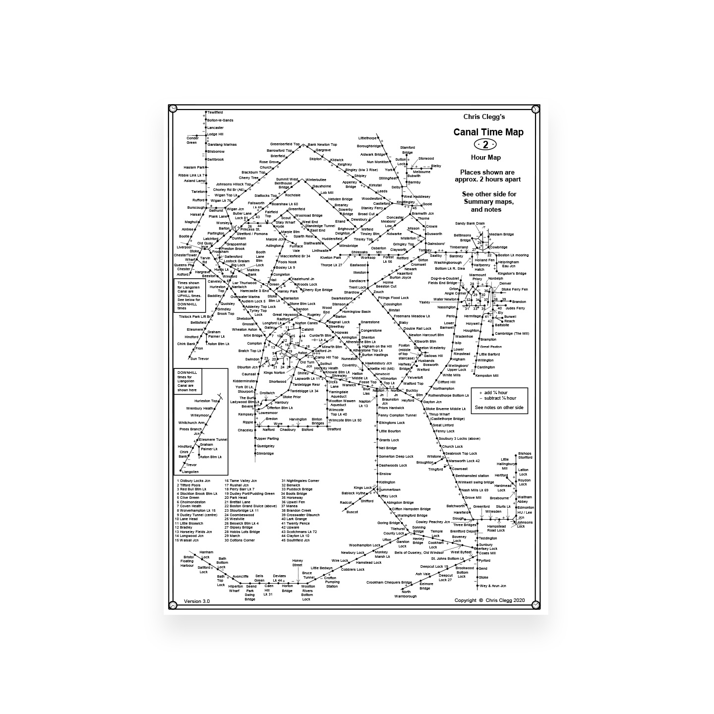
Map of the UK Inland Waterways
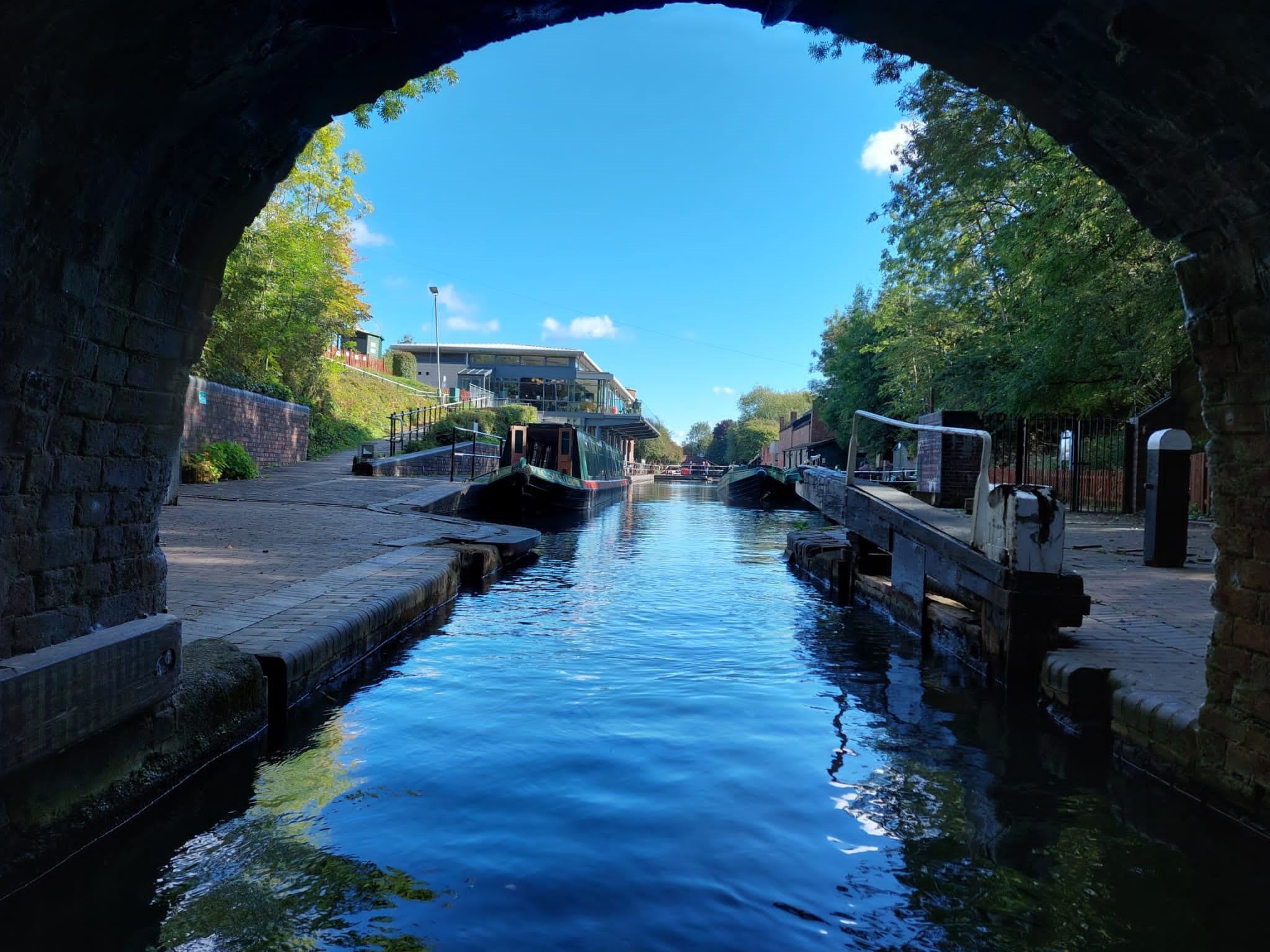
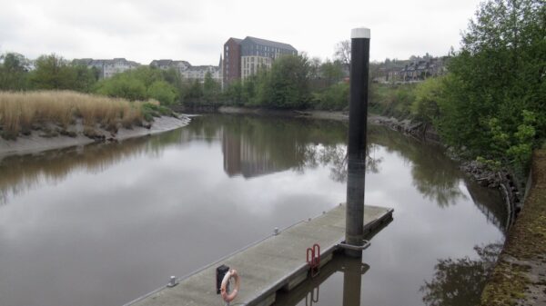
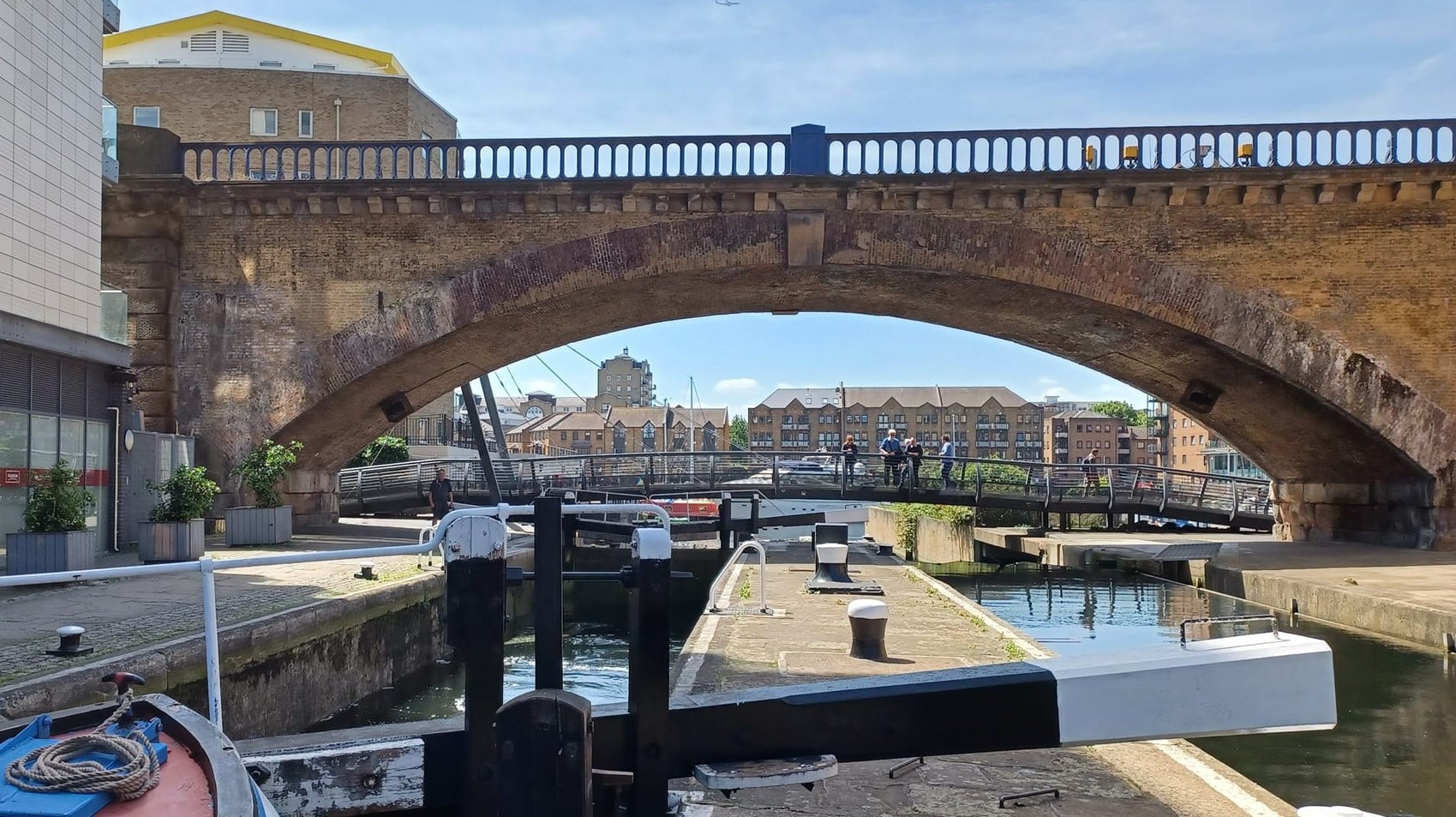
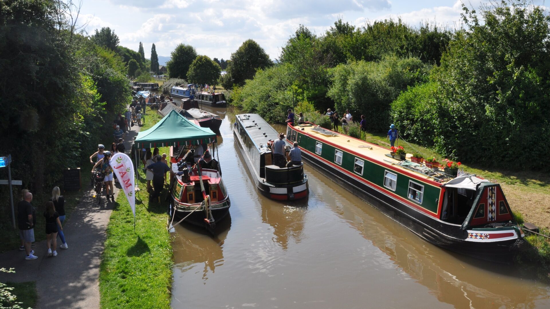
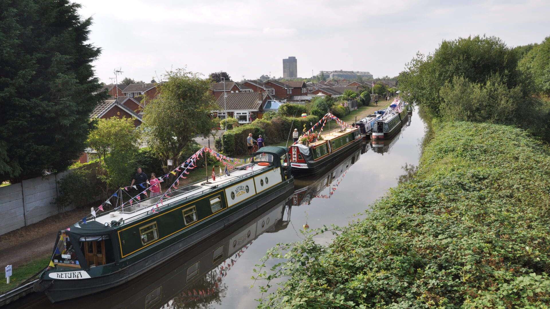
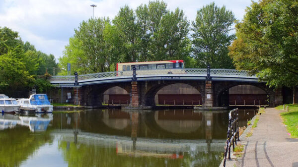
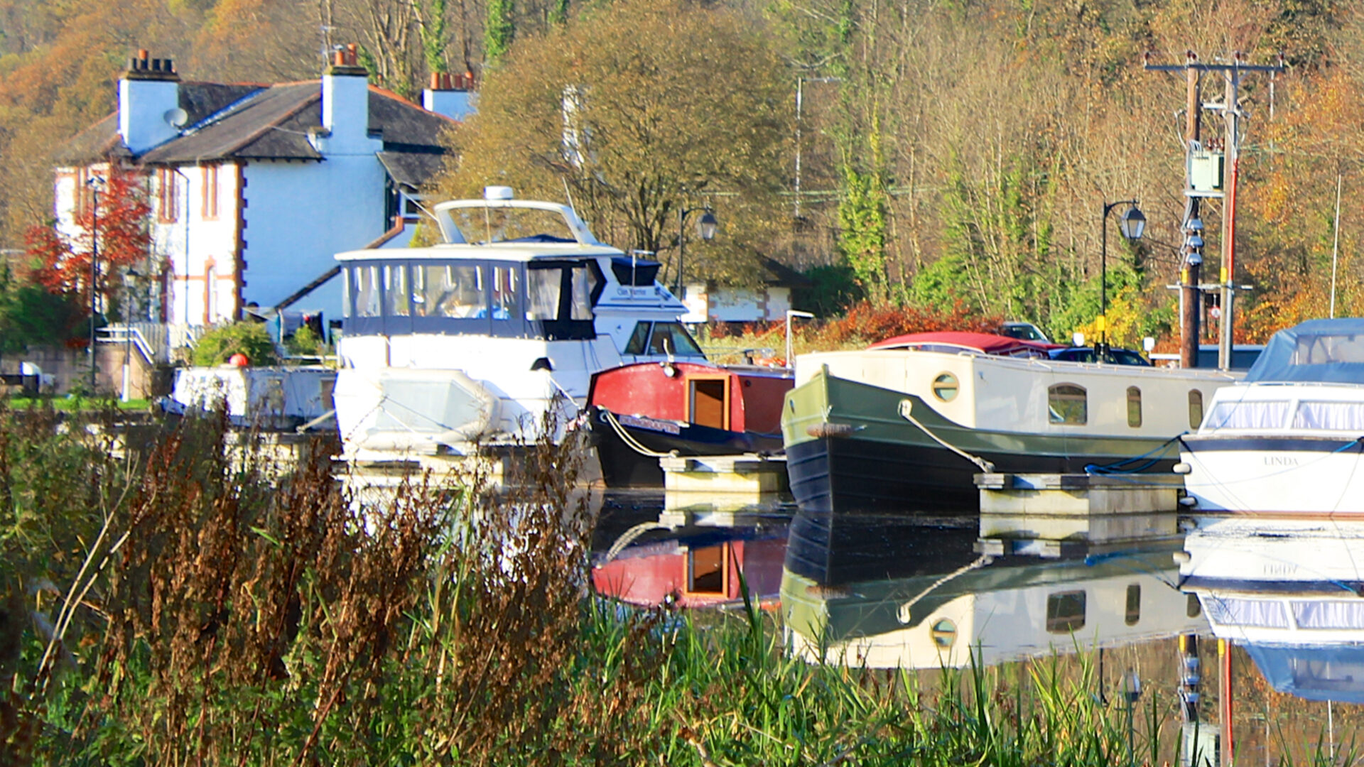
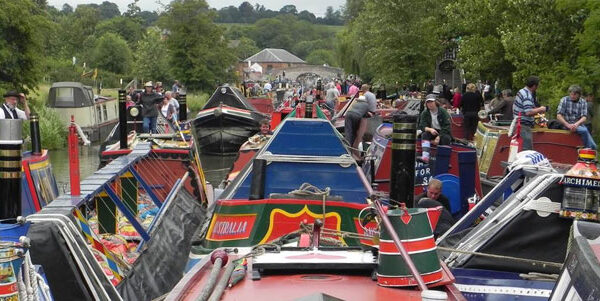
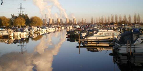
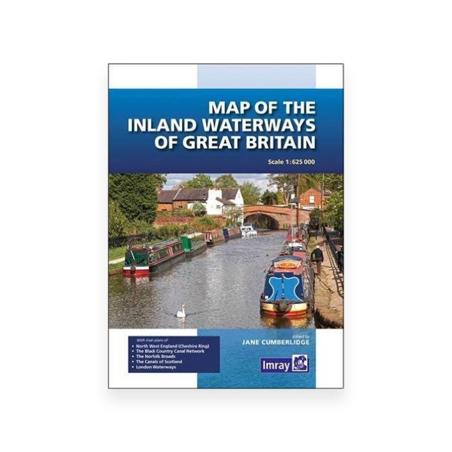
Our map of the UK inland waterways shows all the navigable rivers and canals in England, Wales and Scotland that are suitable for boating along with those waterways that are under restoration and selected waterways that are now derelict.
Map of the inland waterways of Great Britain


News
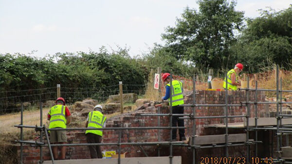
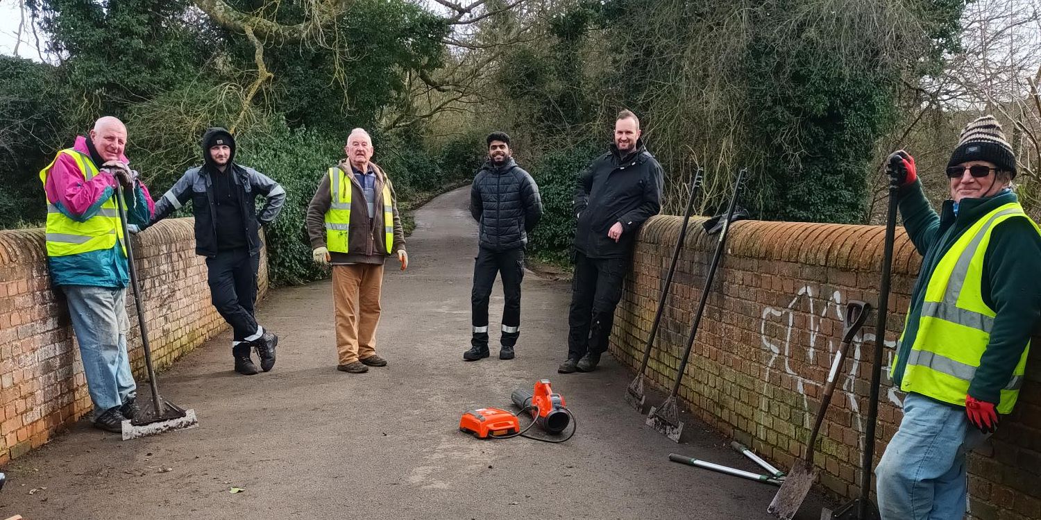
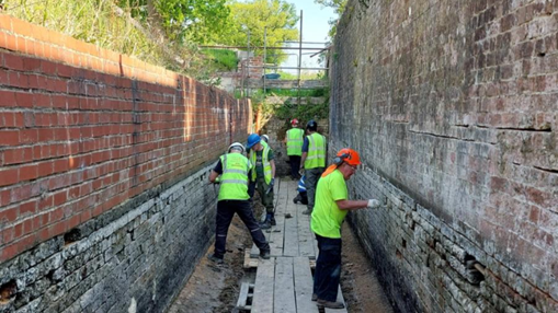
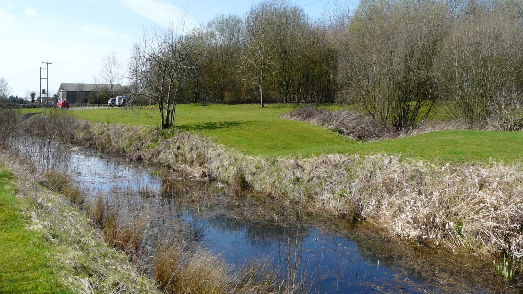
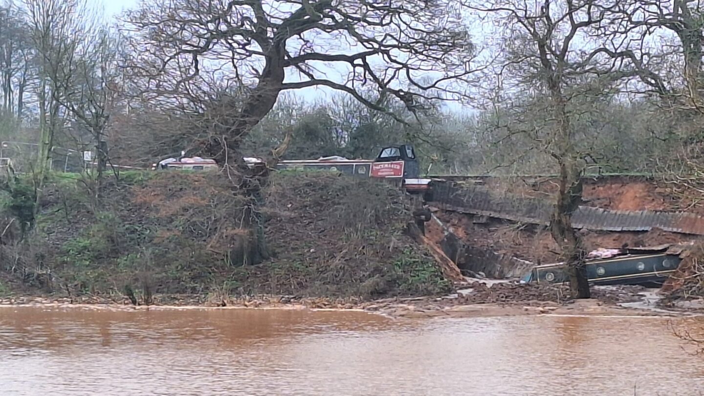
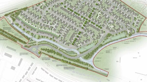
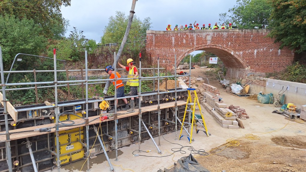
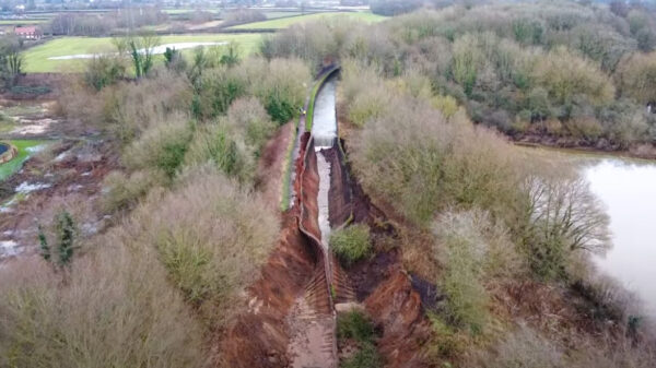
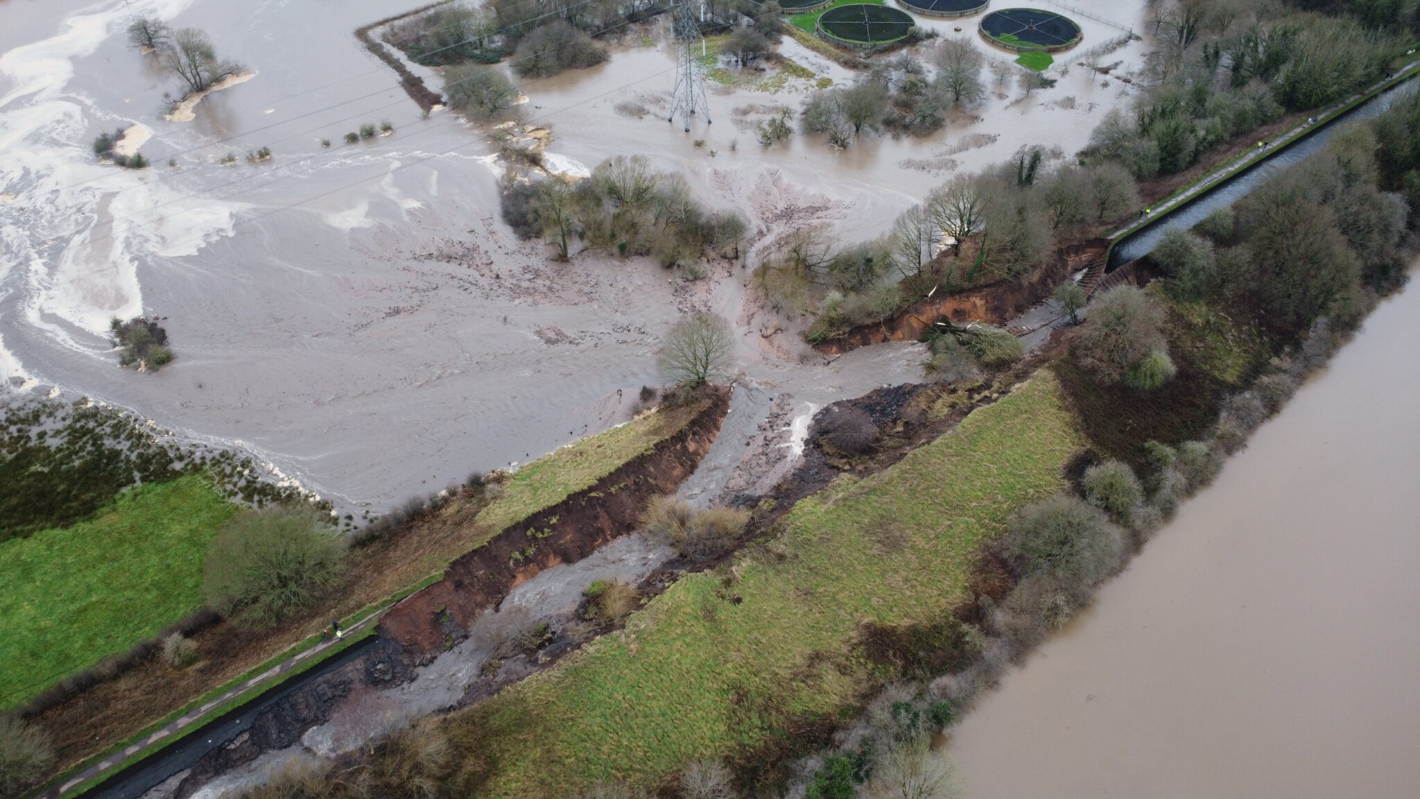
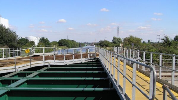
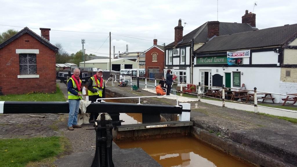
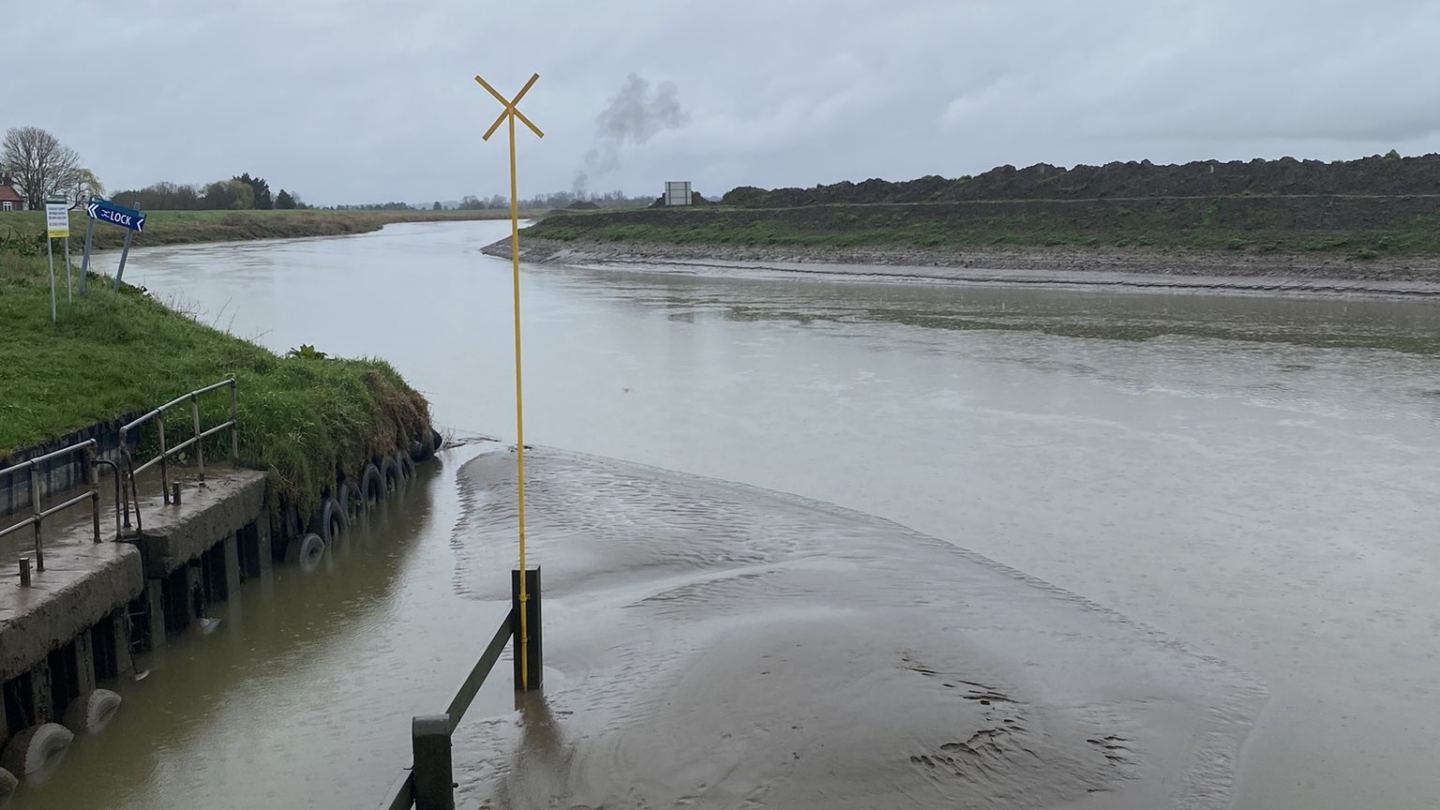
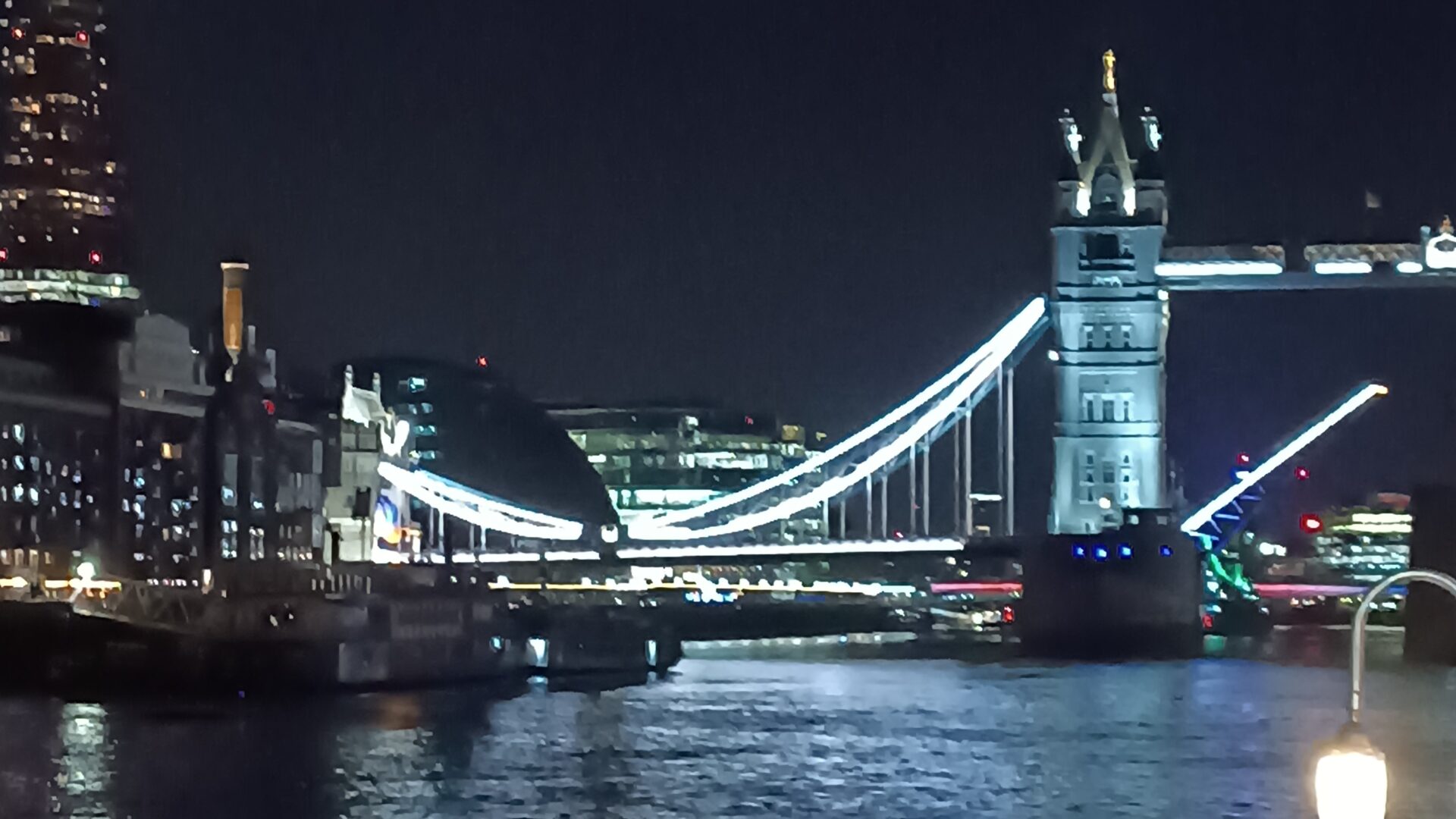
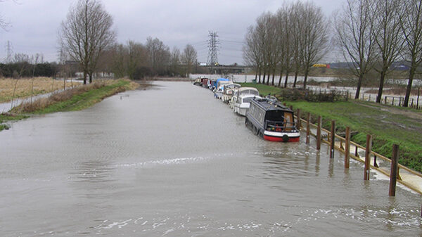
Indefinite waterway closures rise by almost 40% – IWA reveals growing network disruption
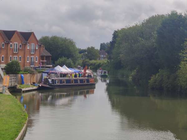
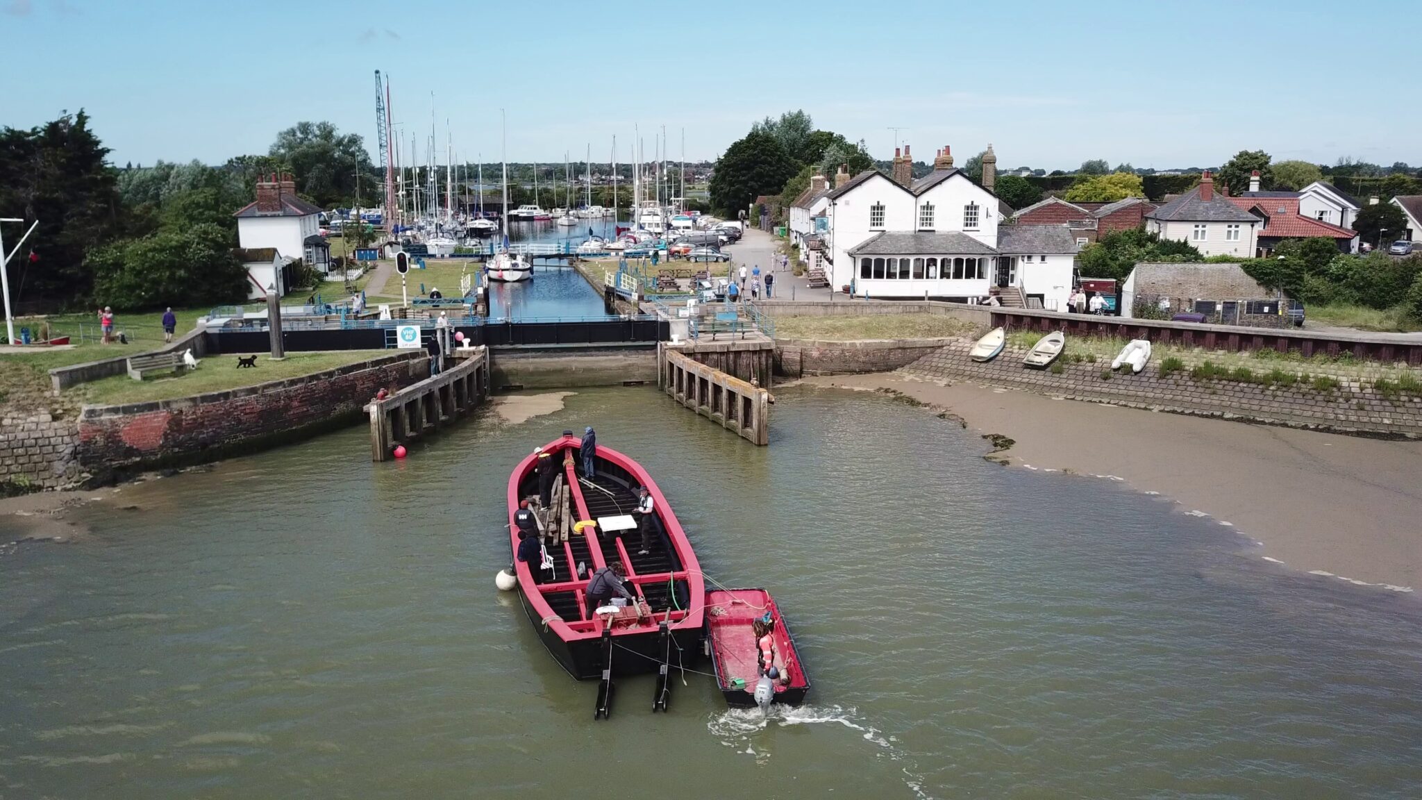
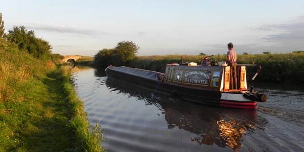
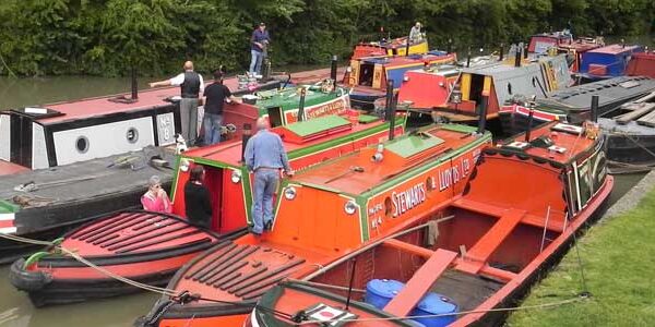
Boating


News
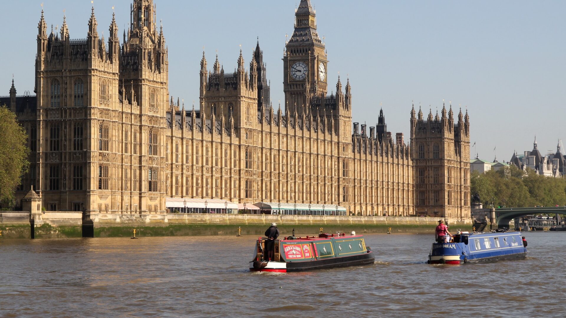
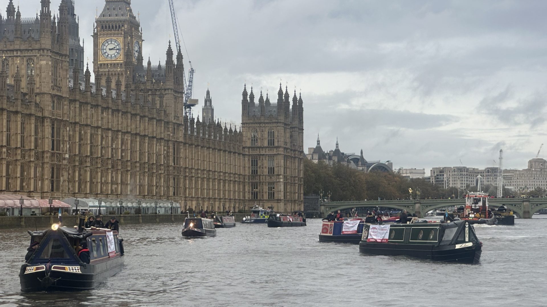
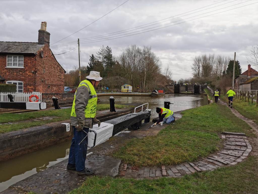
Parliamentary Group on Waterways Discusses Access, Water Quality and Active Travel
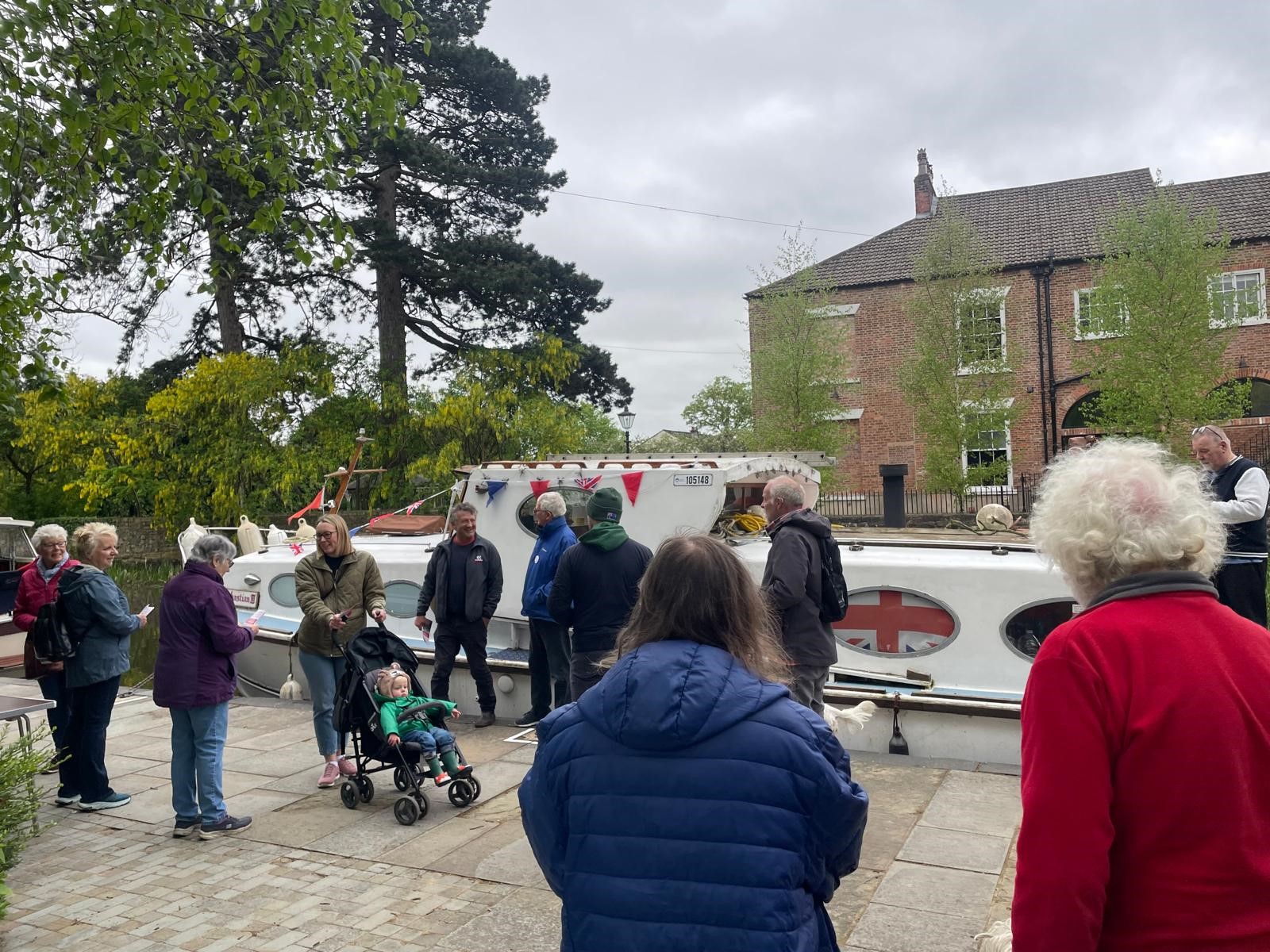
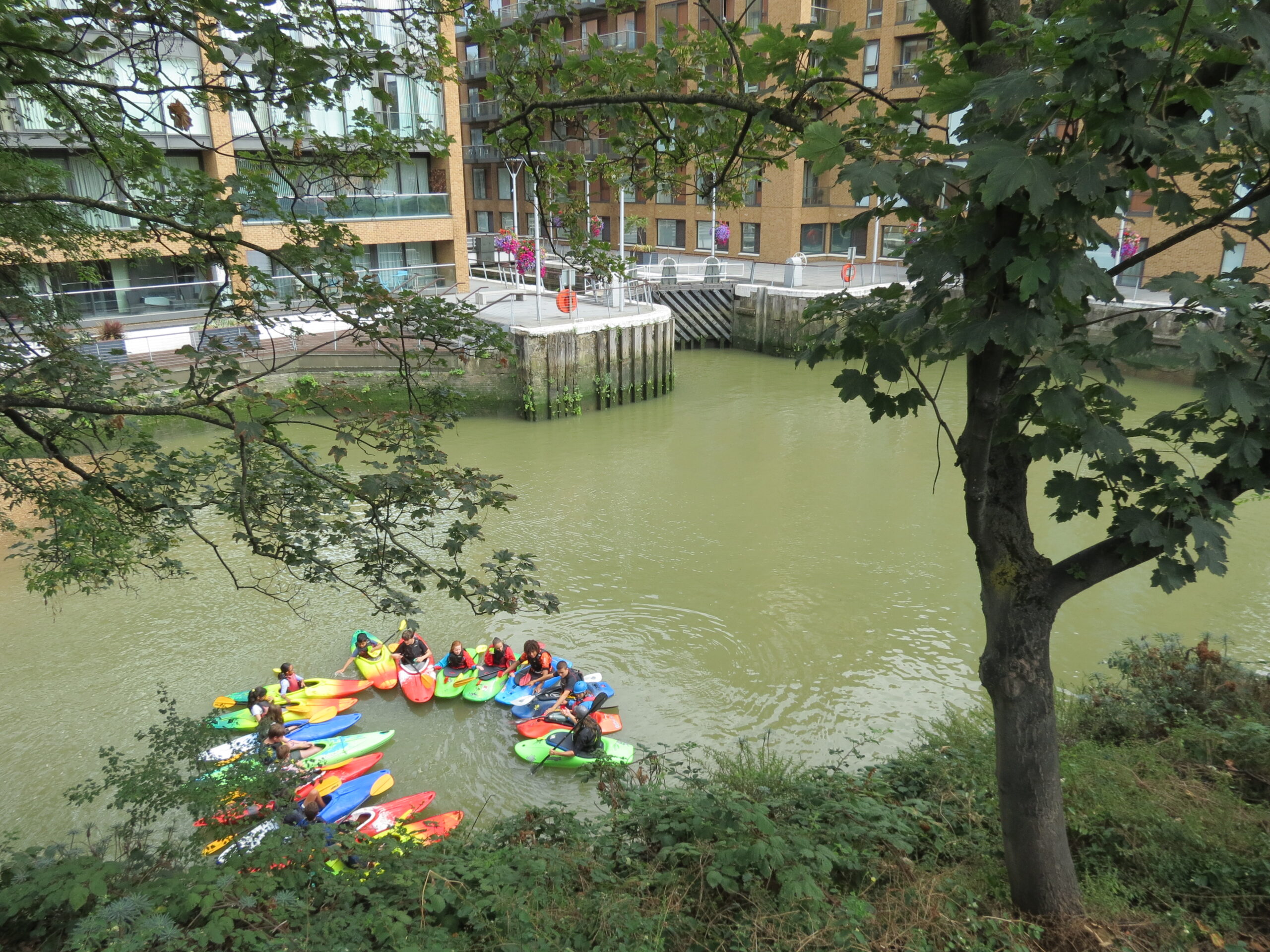
Access for all


News
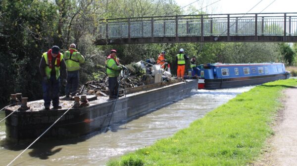
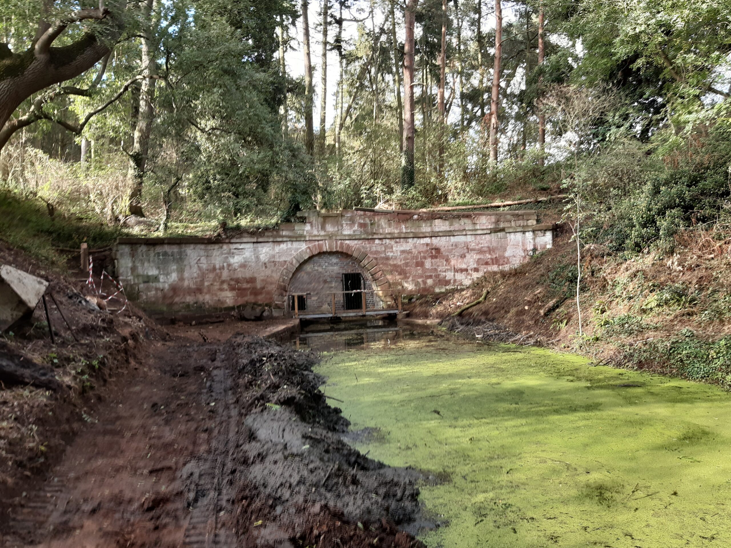
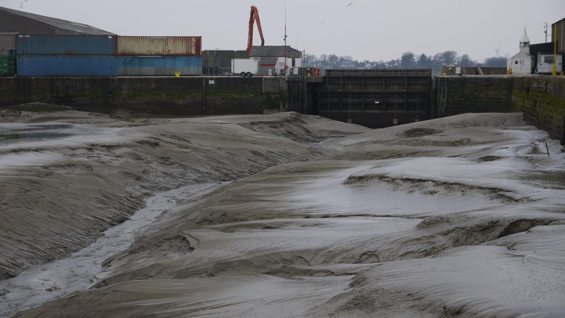
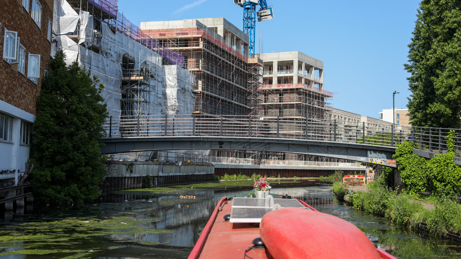
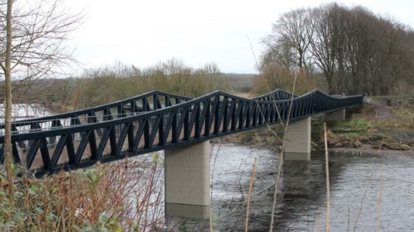
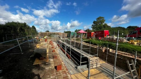
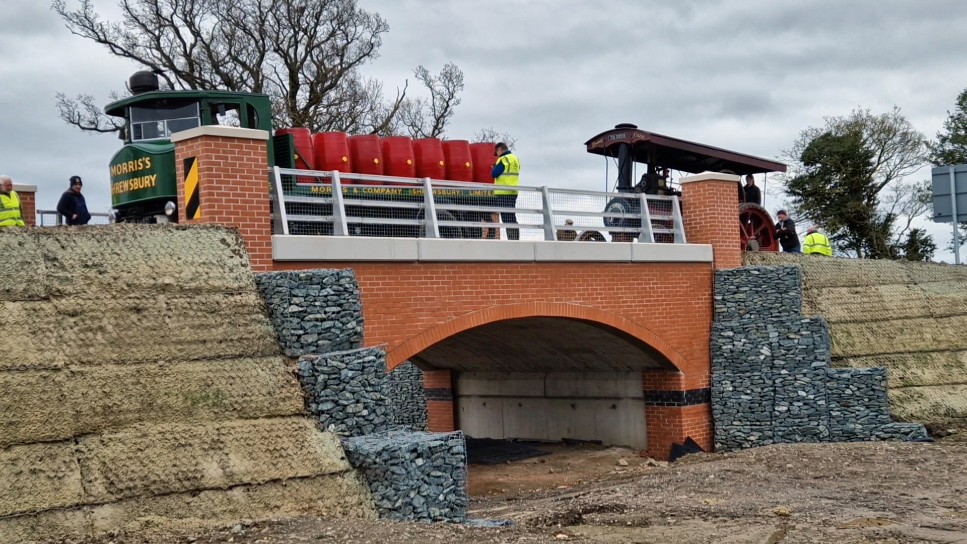
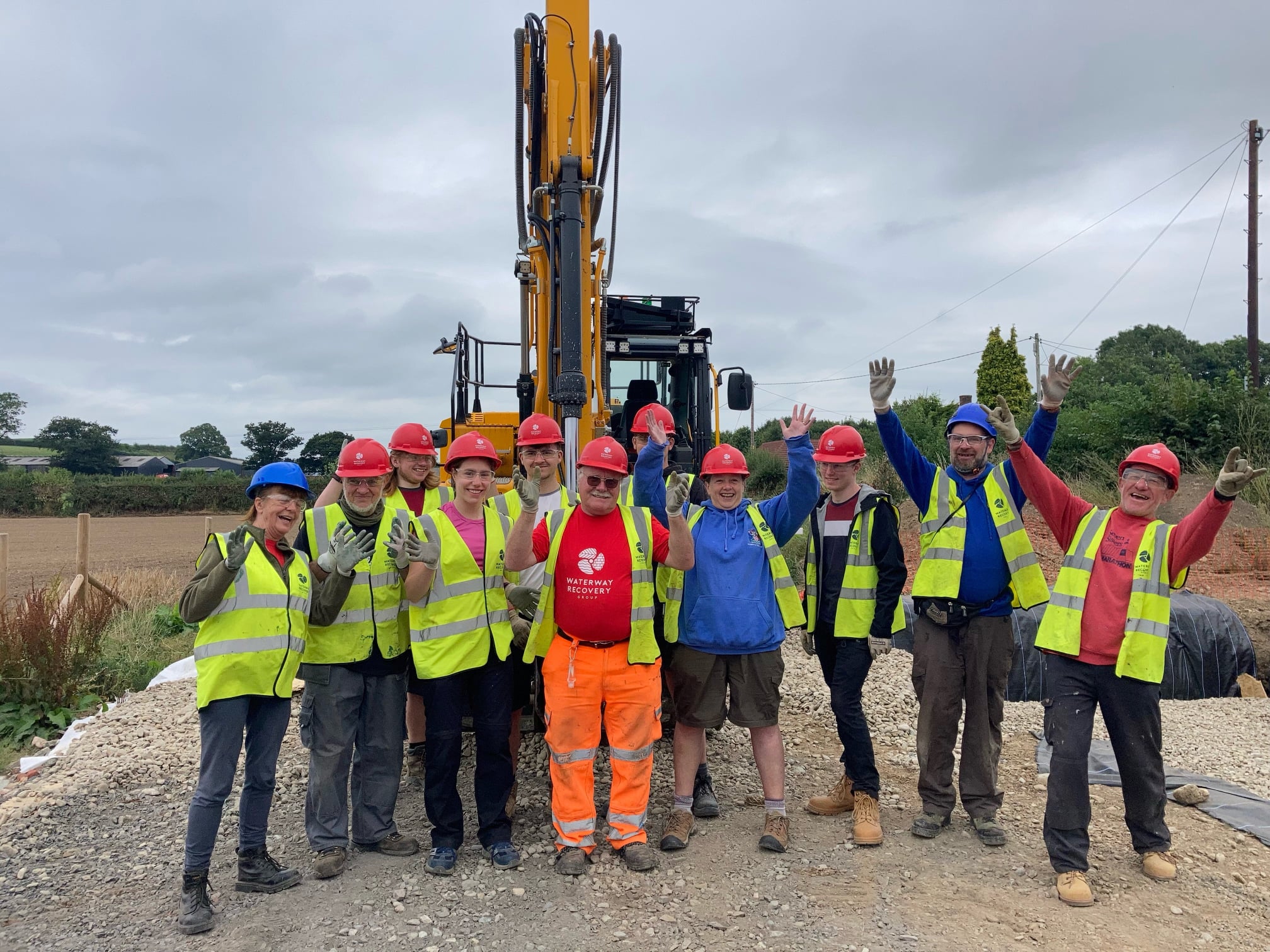
£6.5m Waterways Investment Welcome but Fails to Address Systemic Underfunding Crisis
Underfunding


Filters
Location
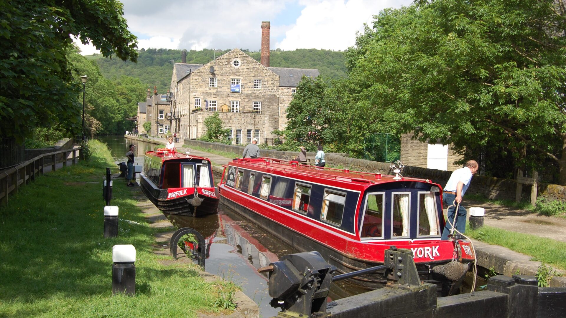
Waterways Directory
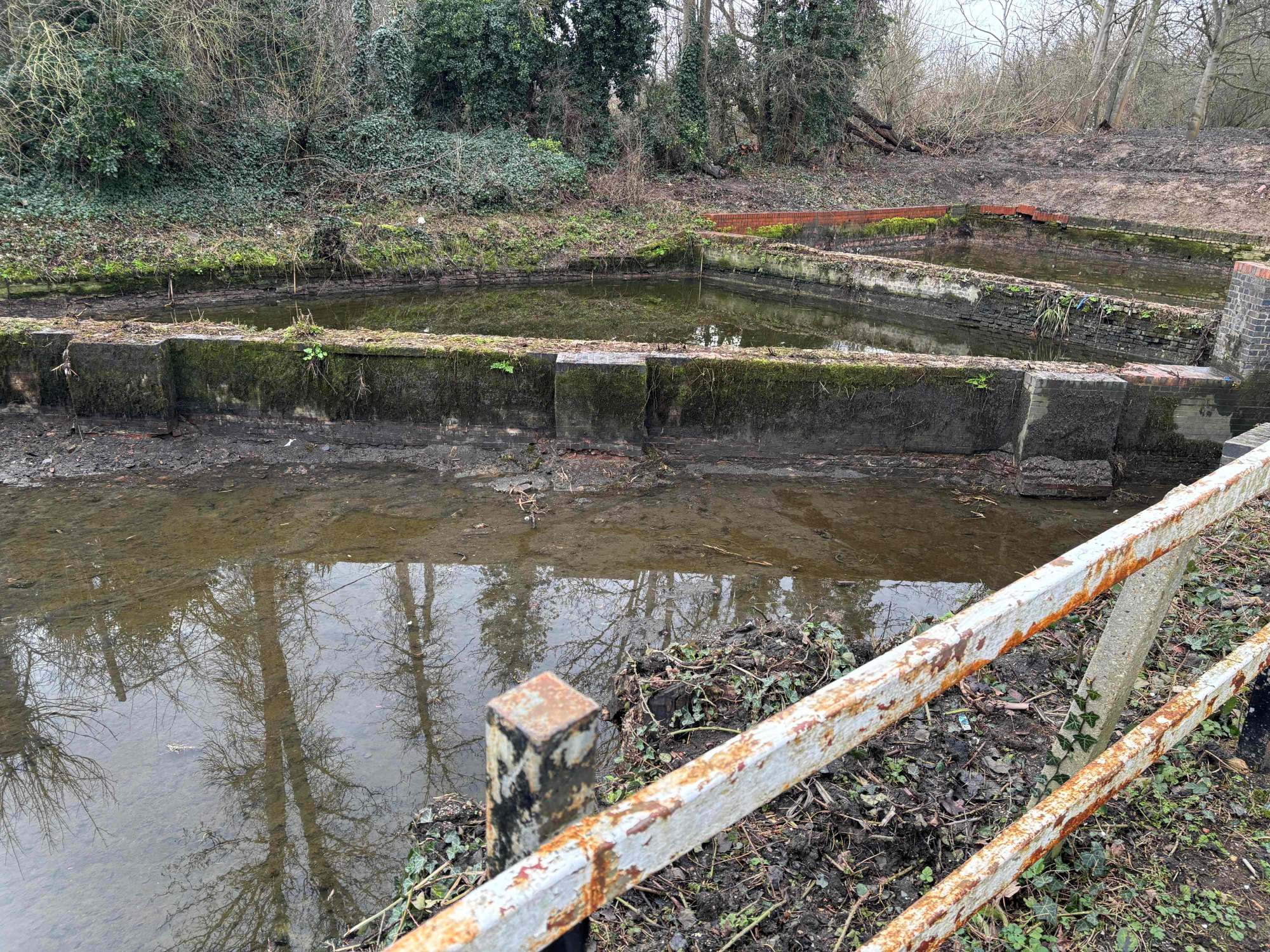
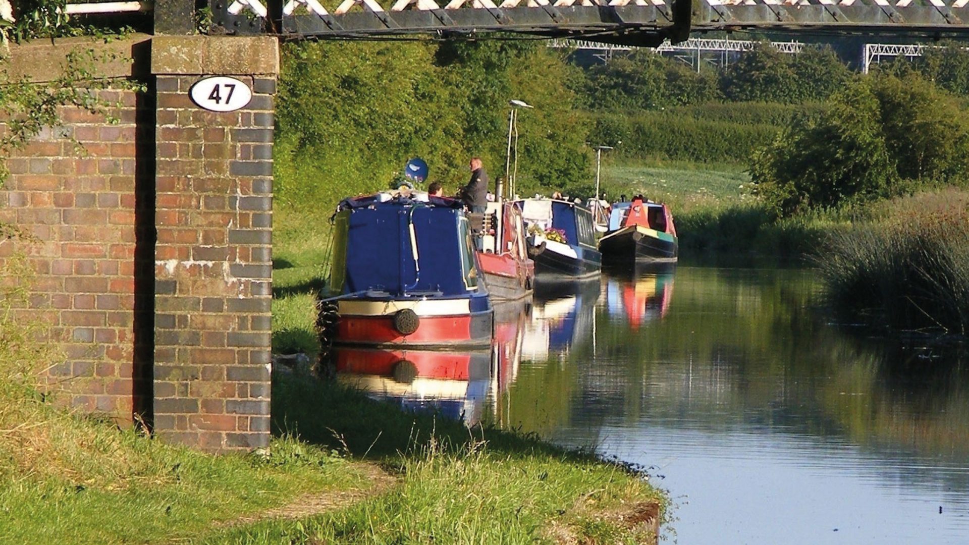
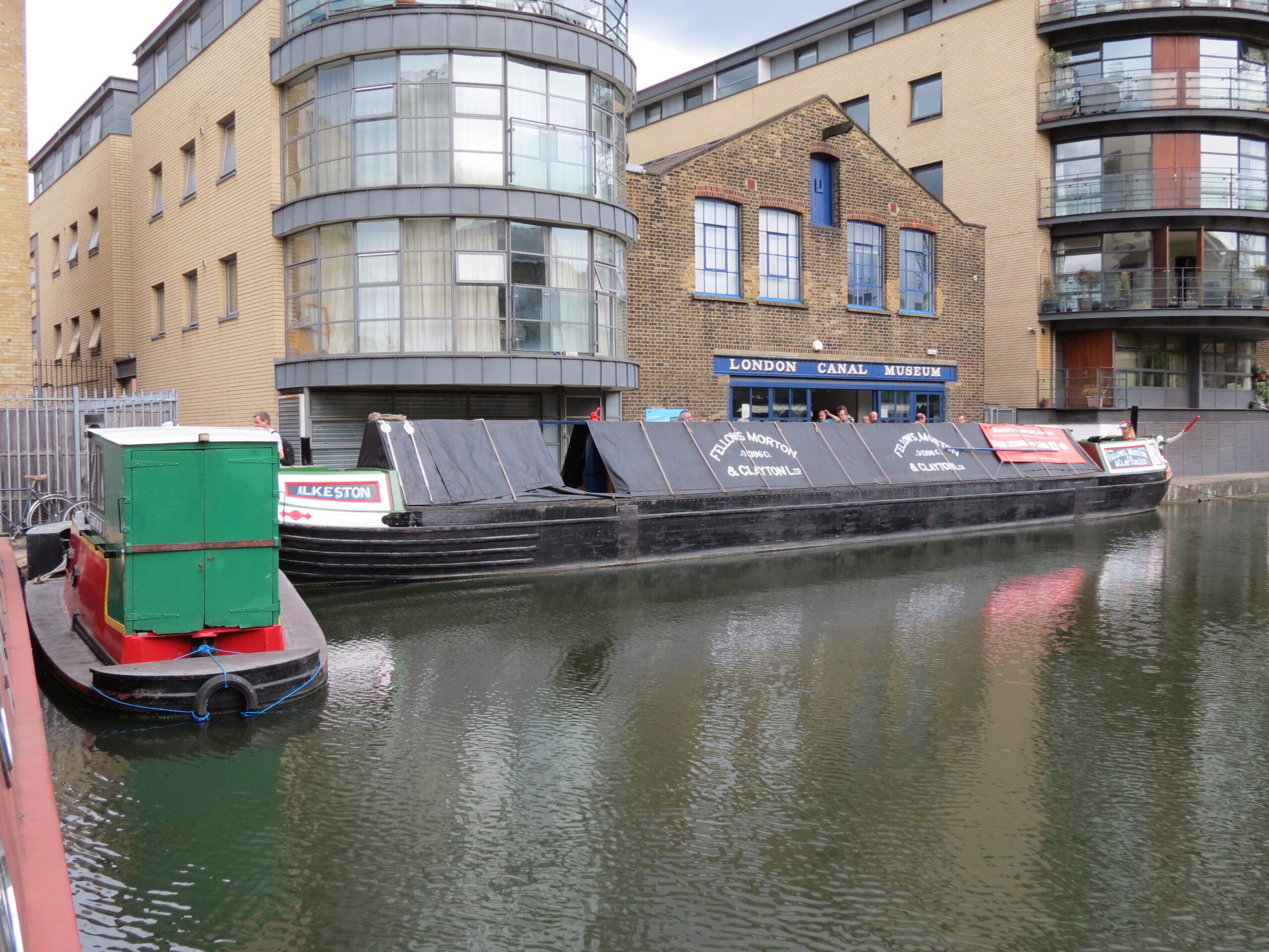
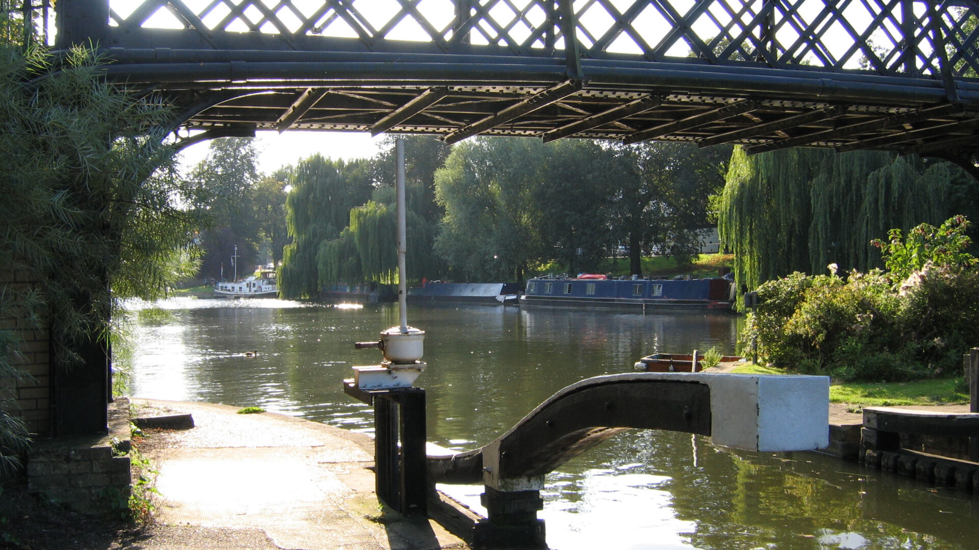
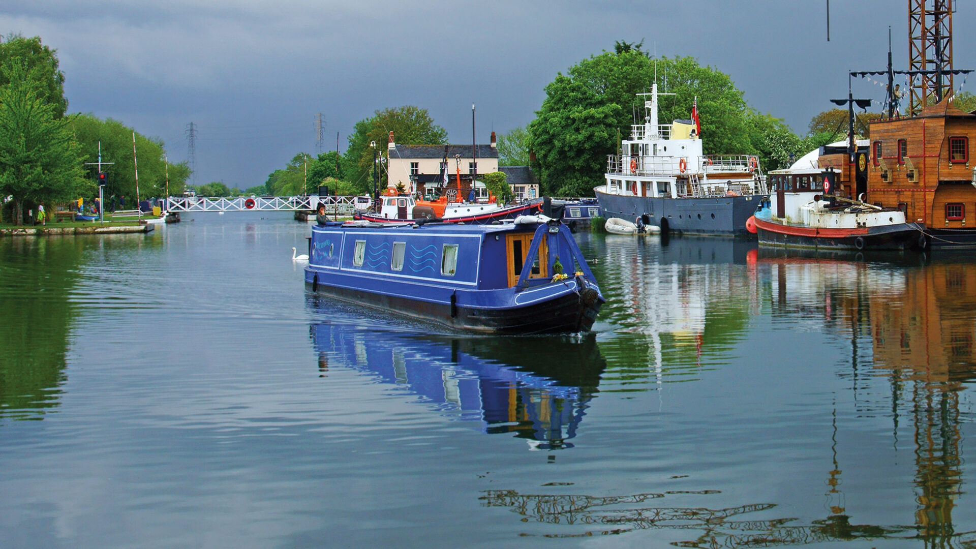
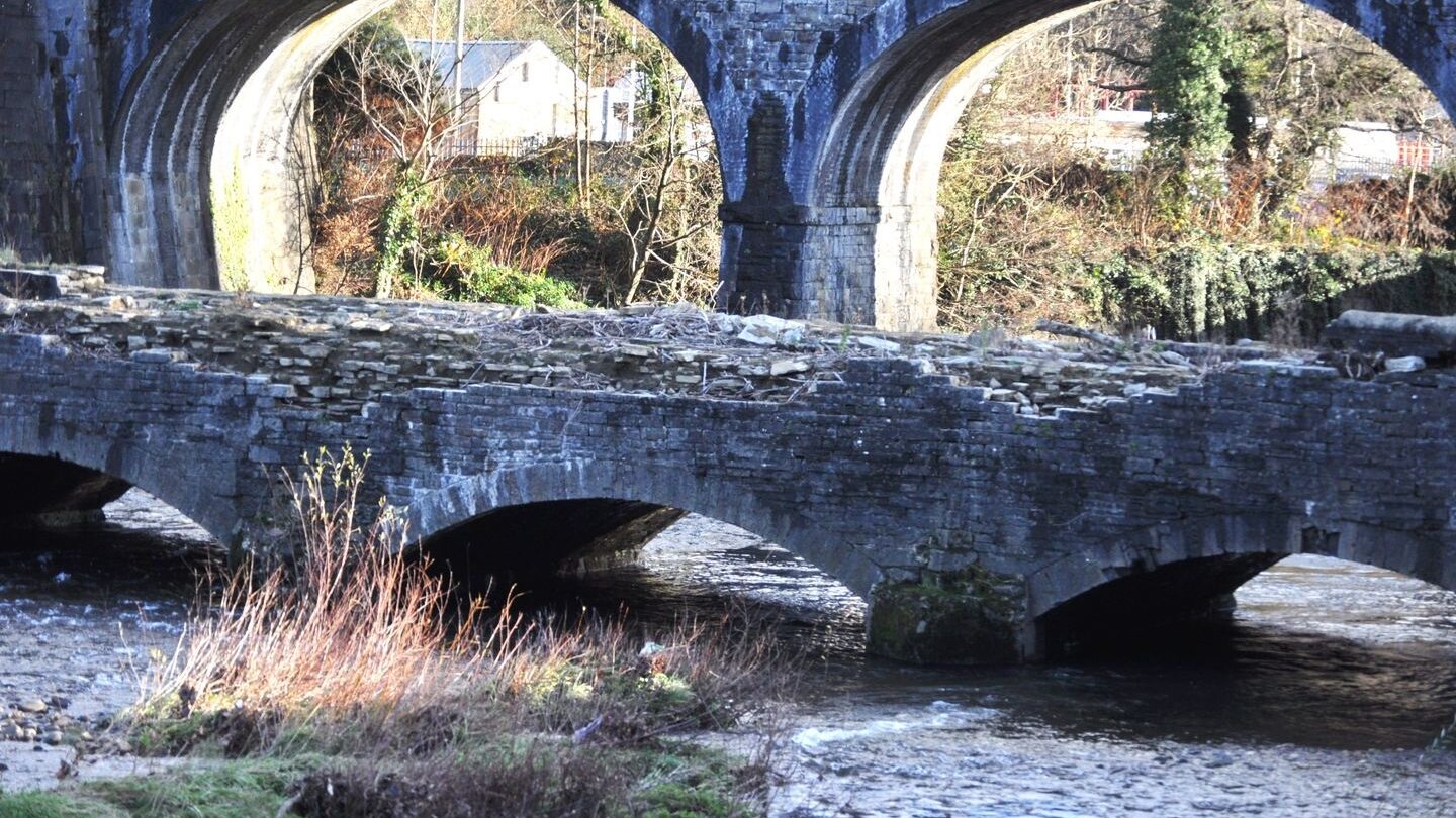
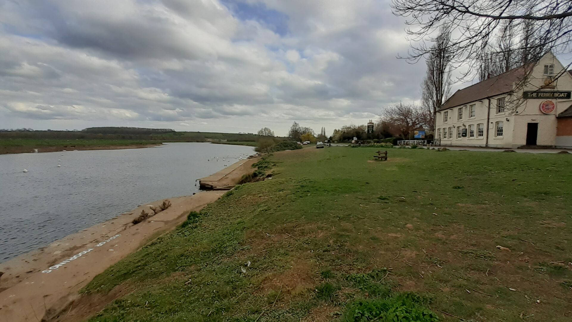
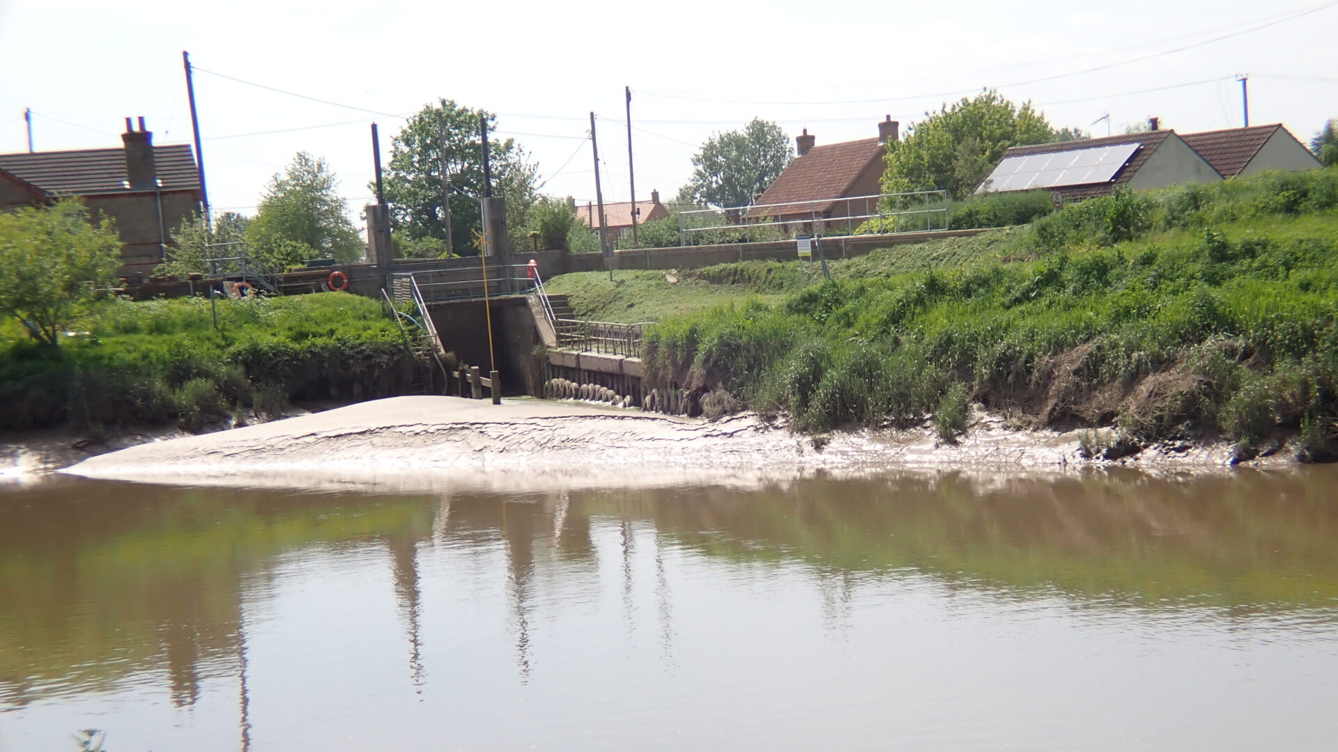
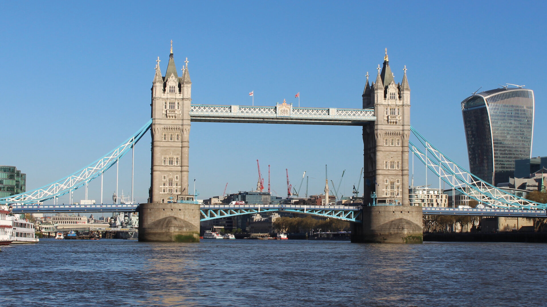
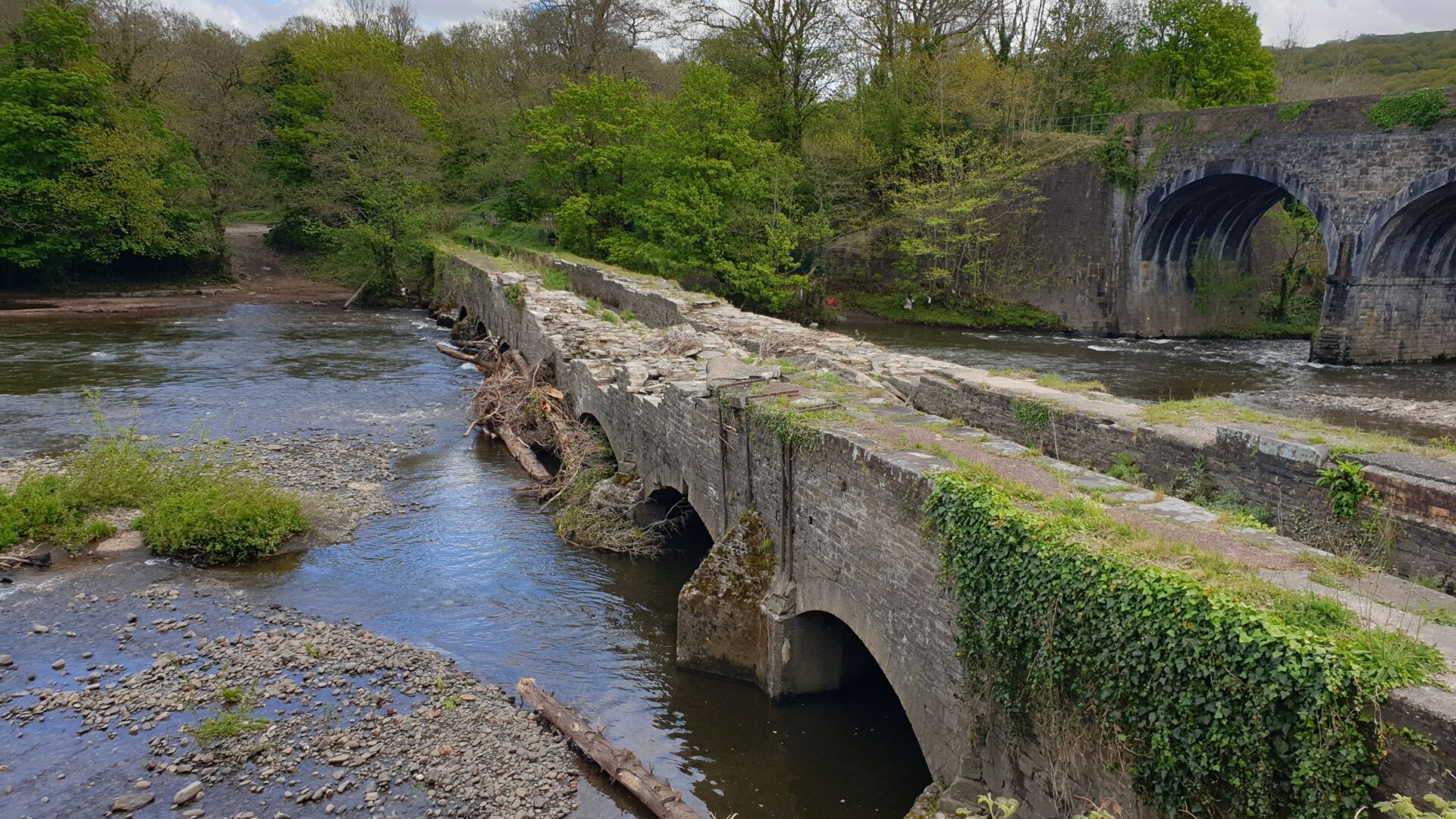
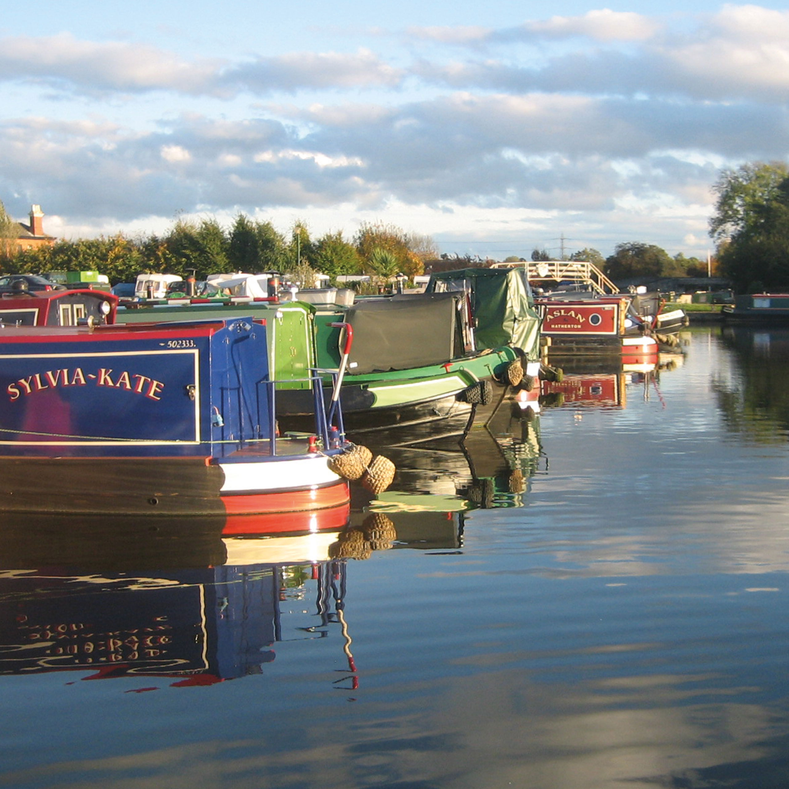
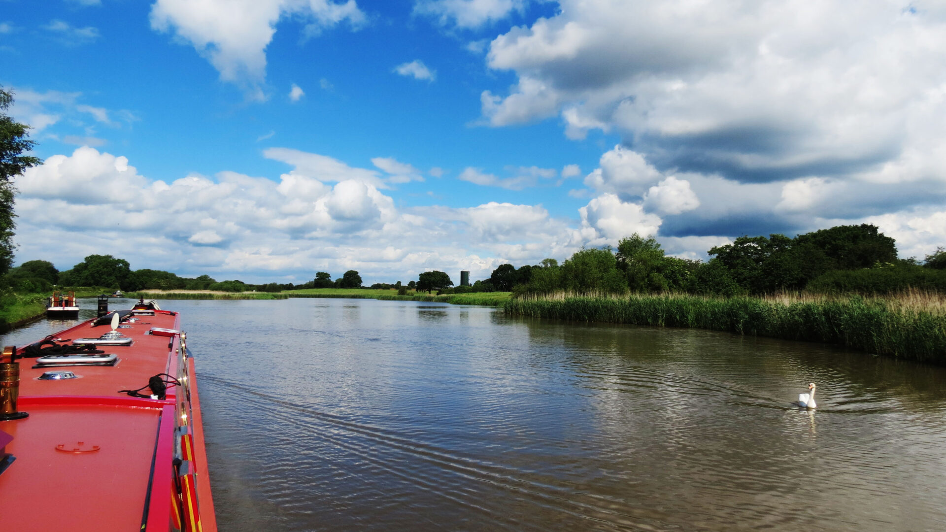
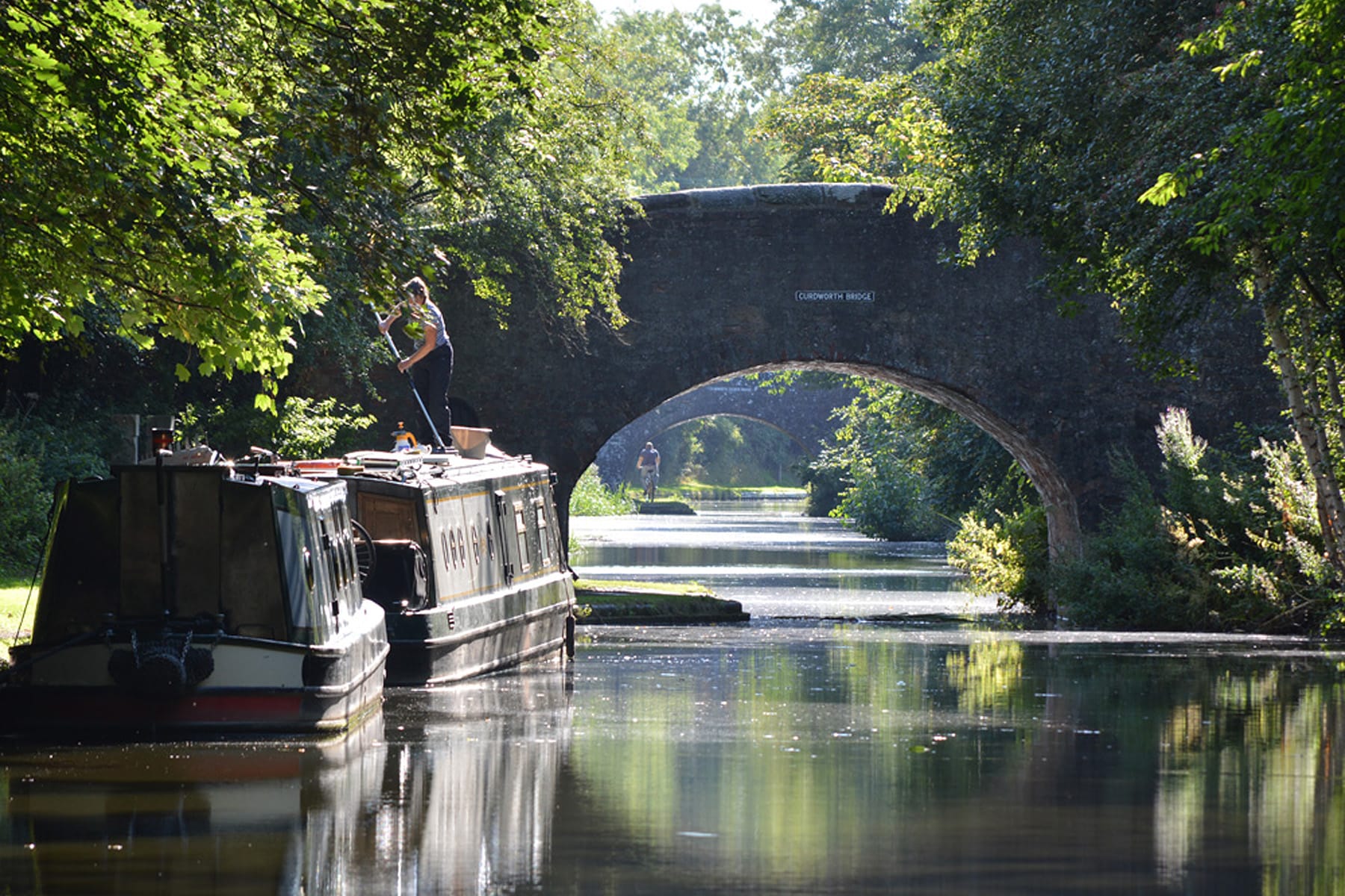
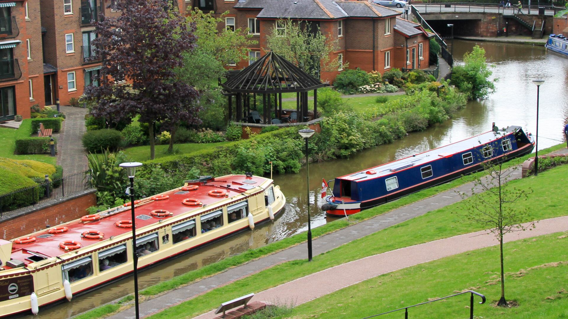
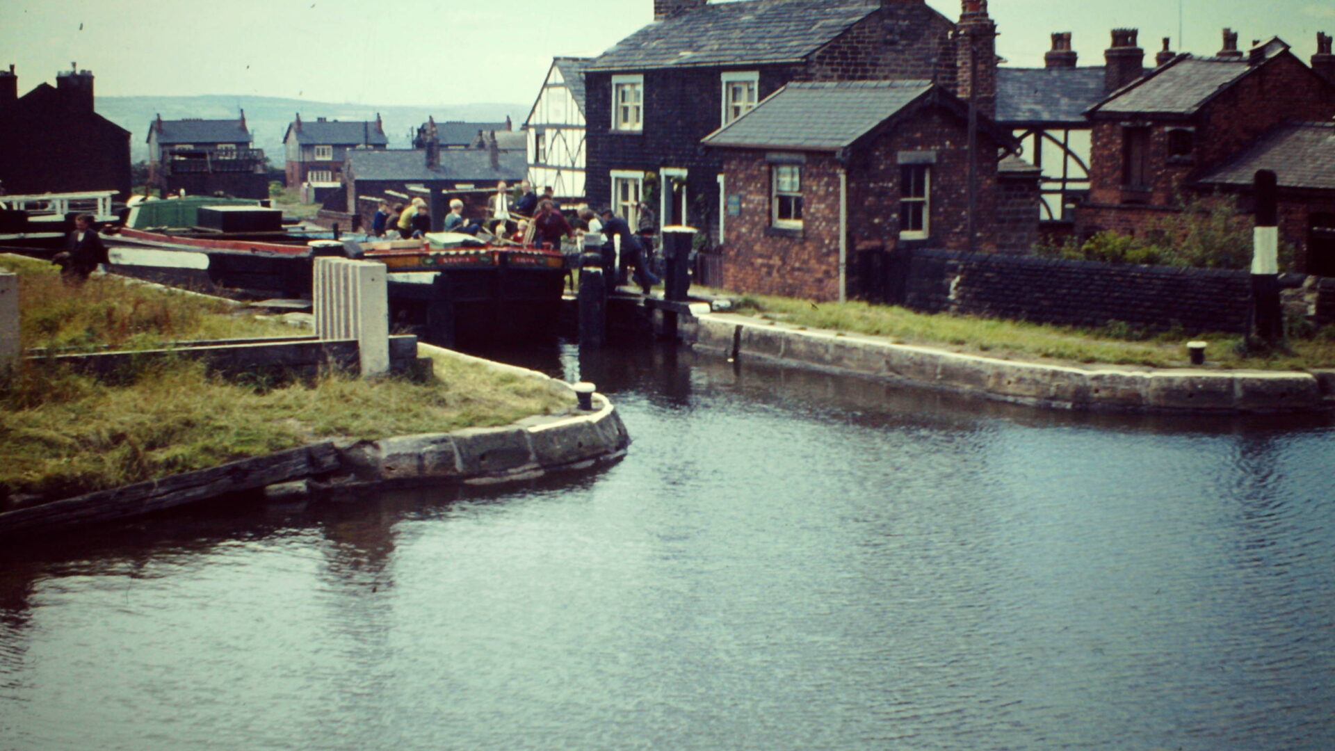
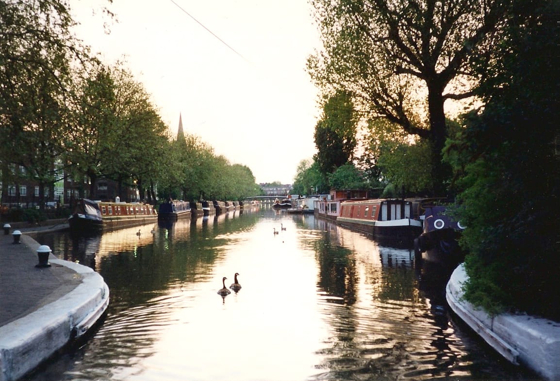
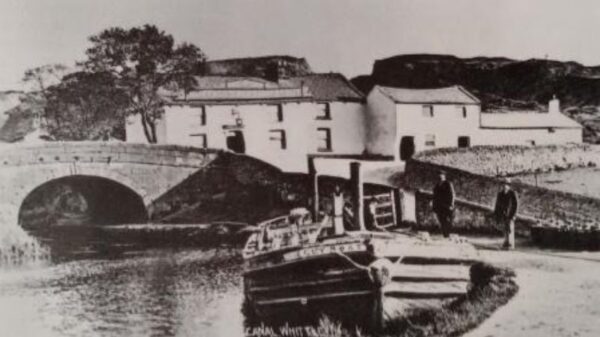
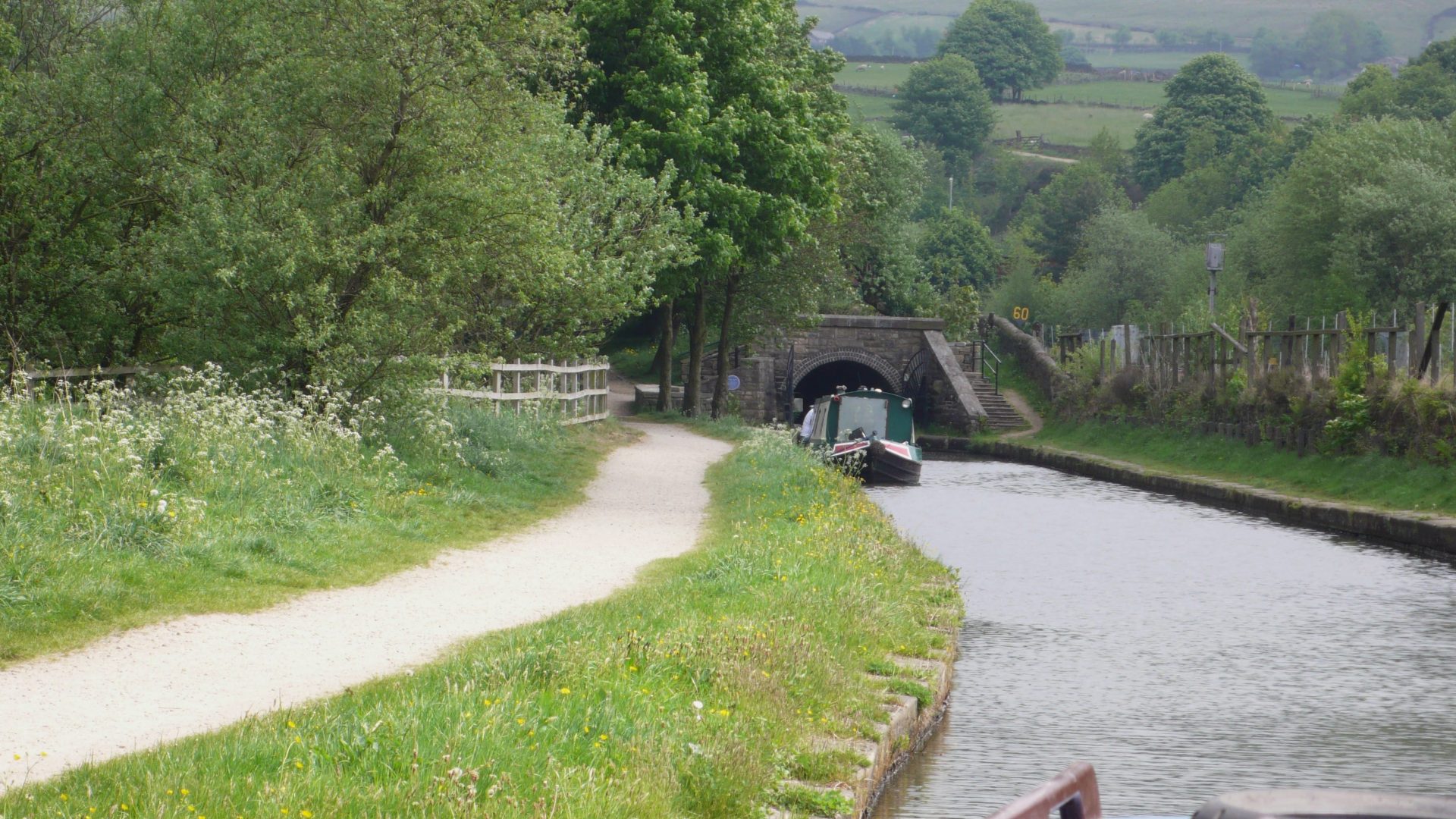
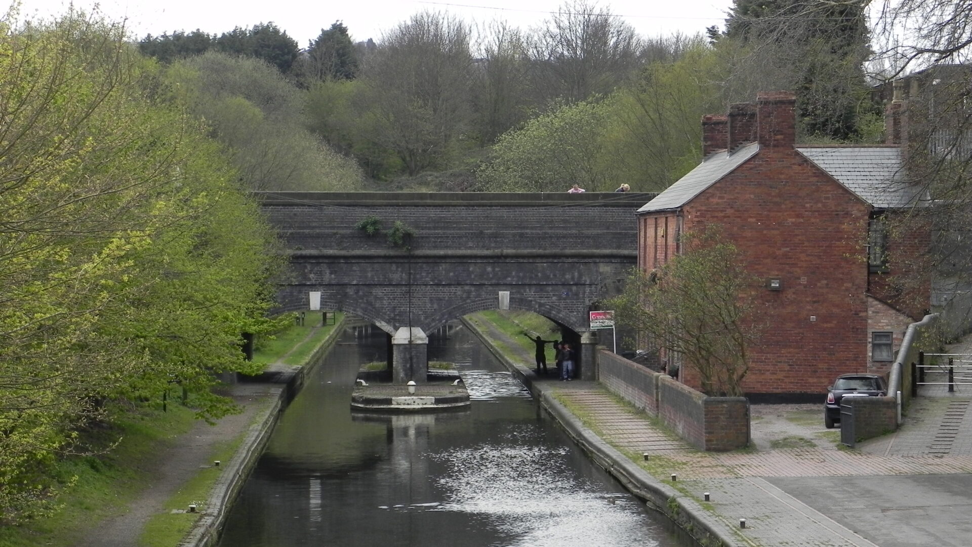
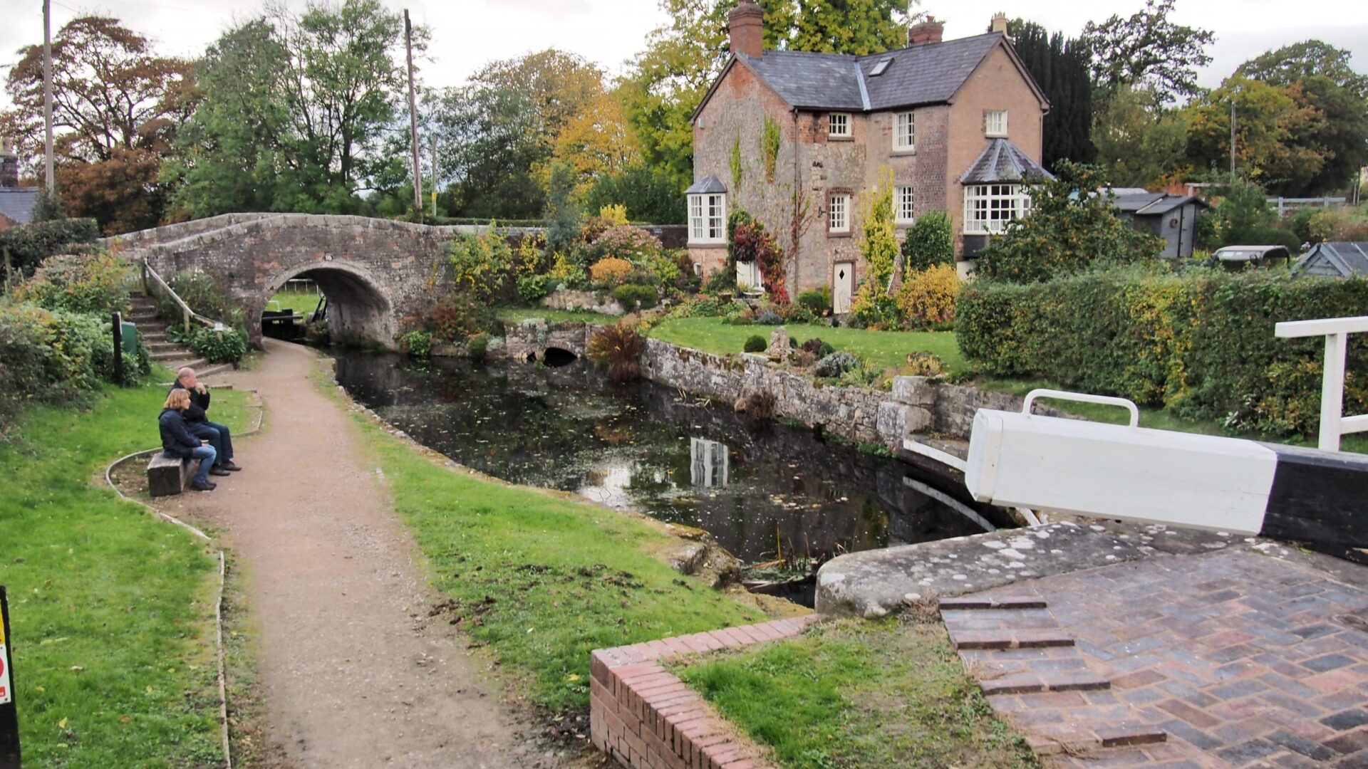
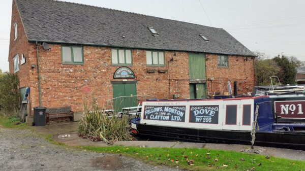
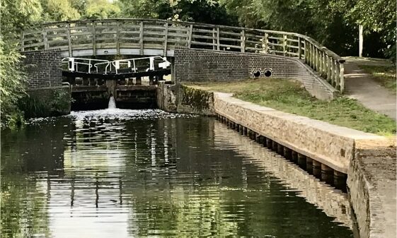
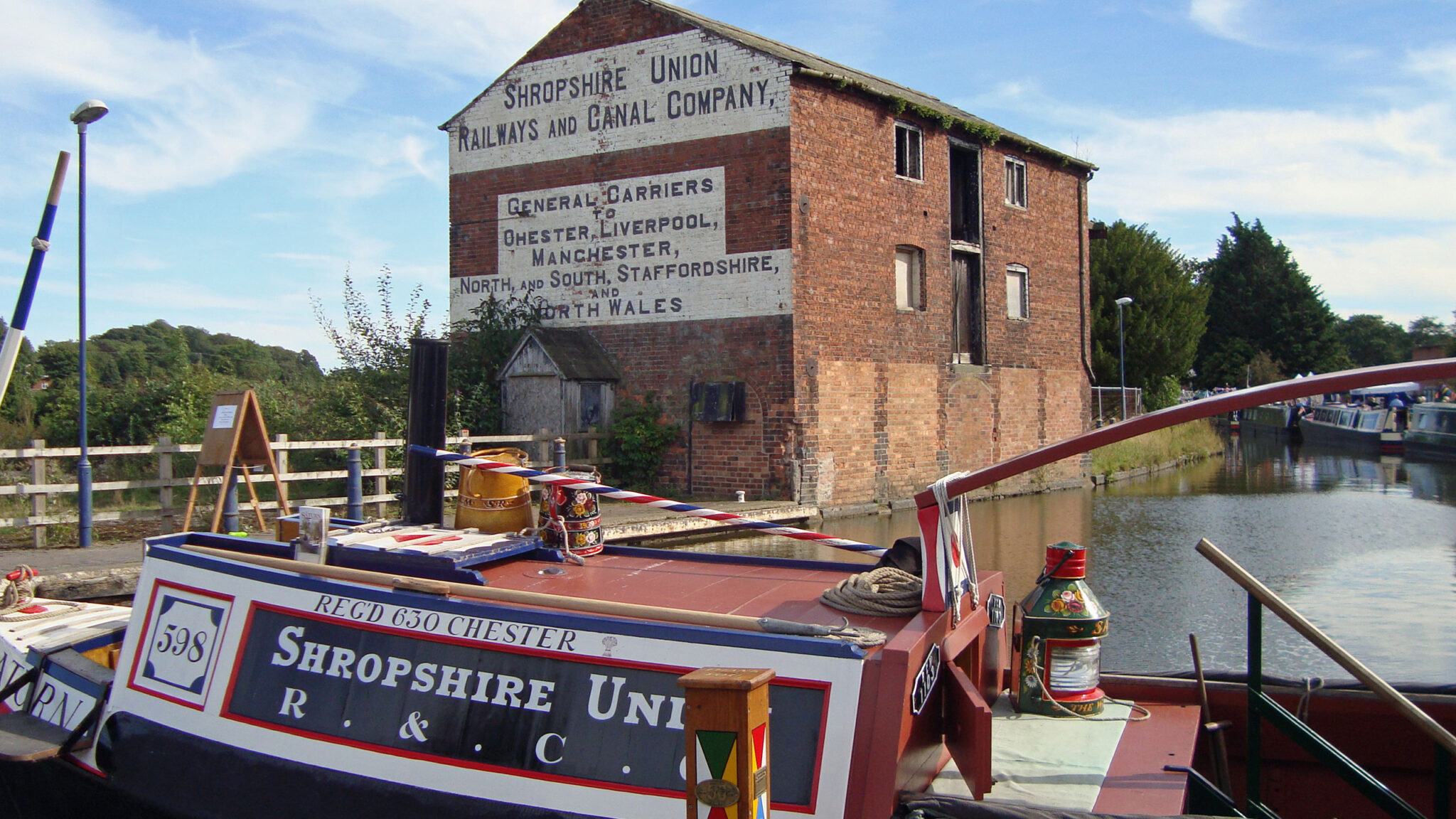
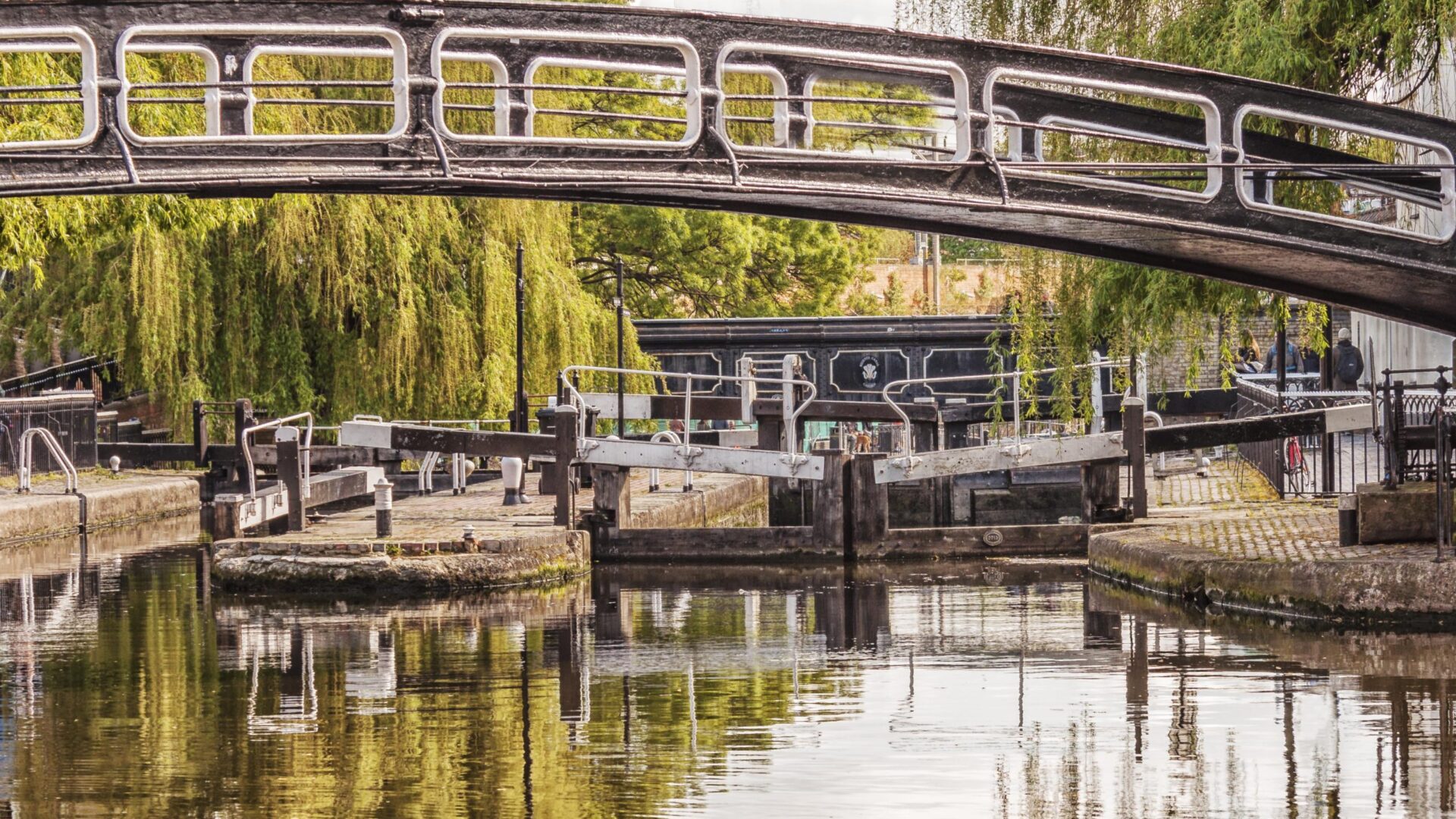
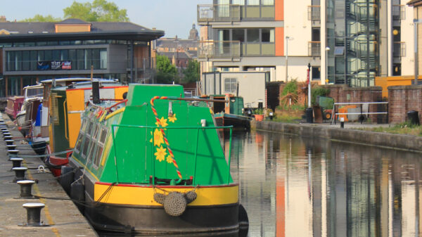
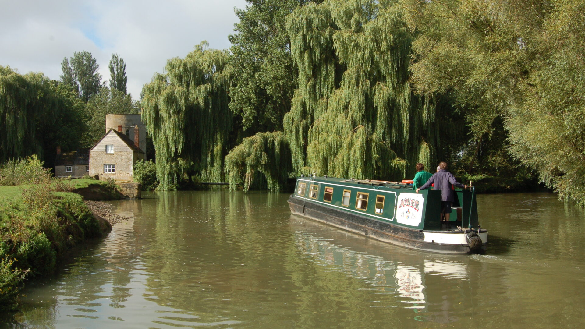
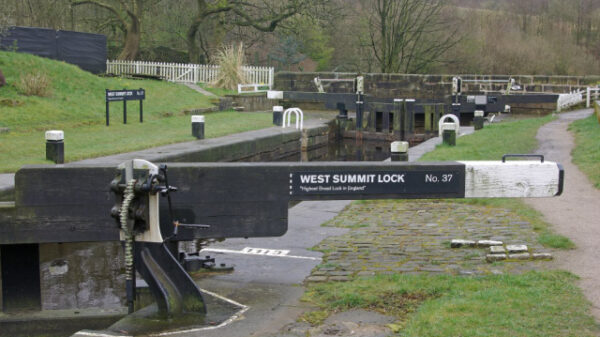
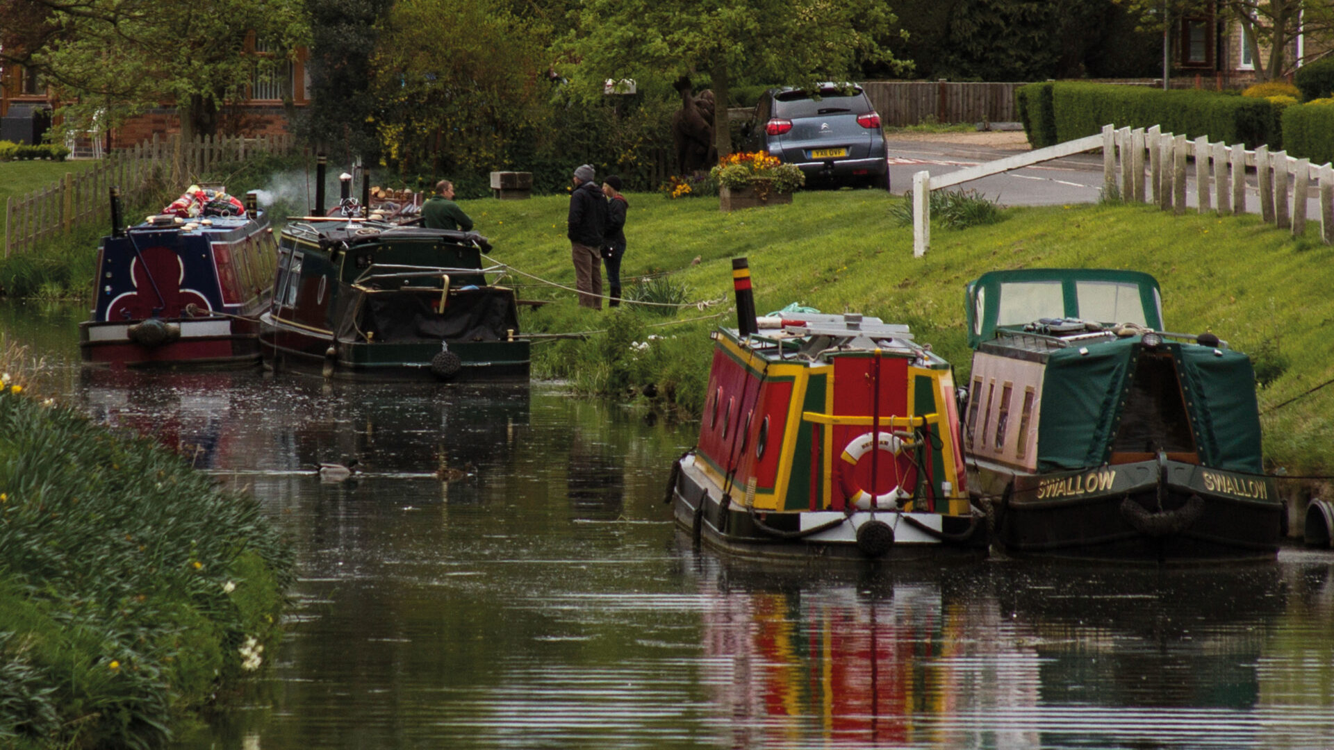
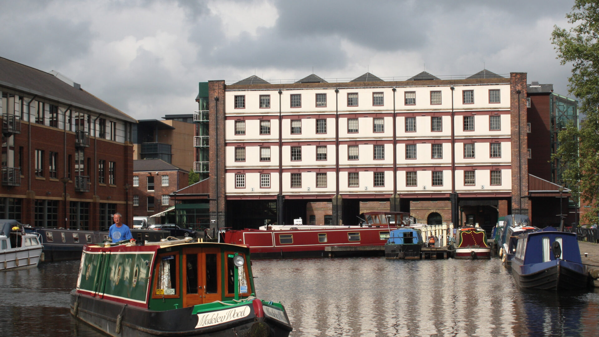
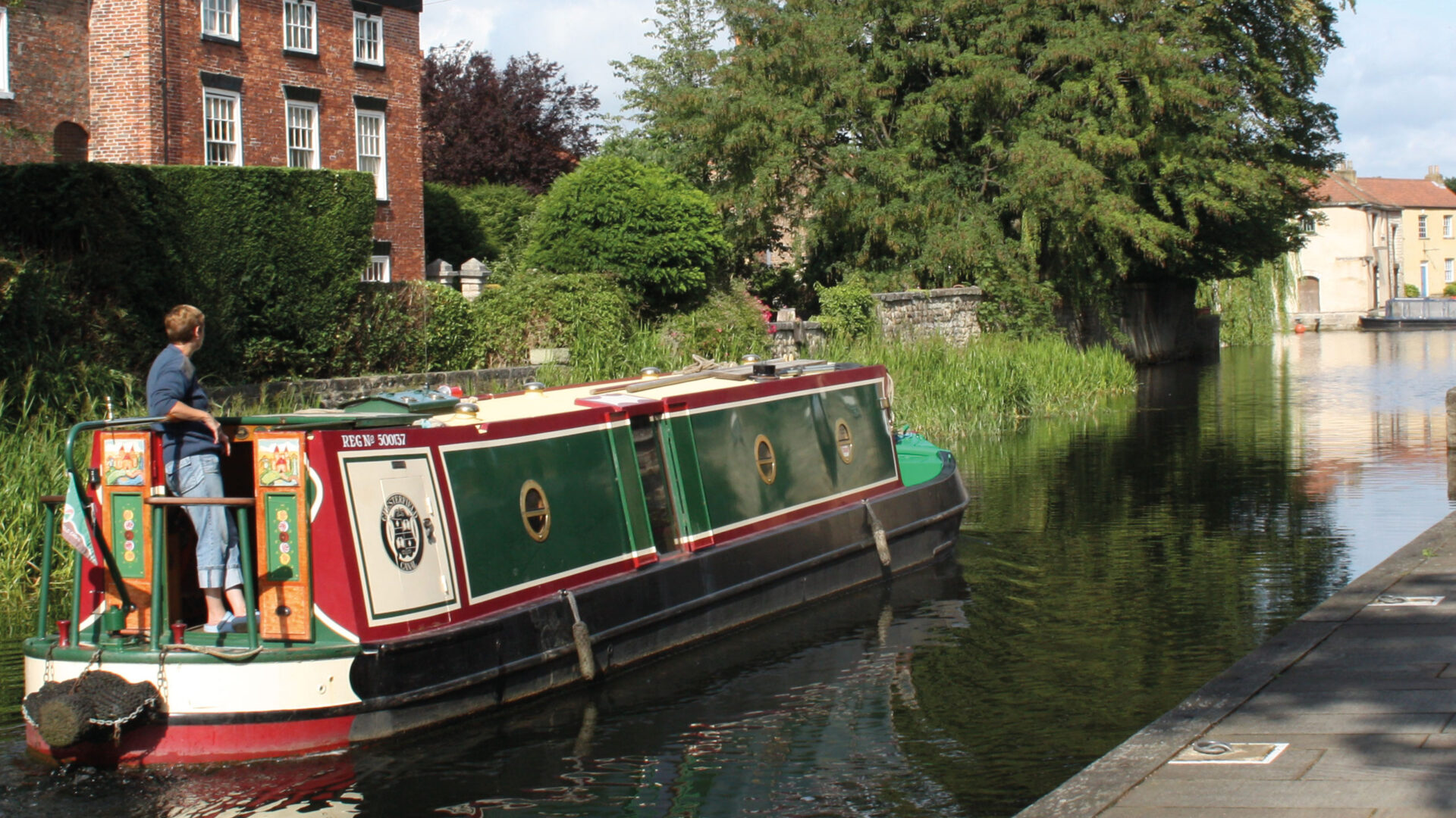
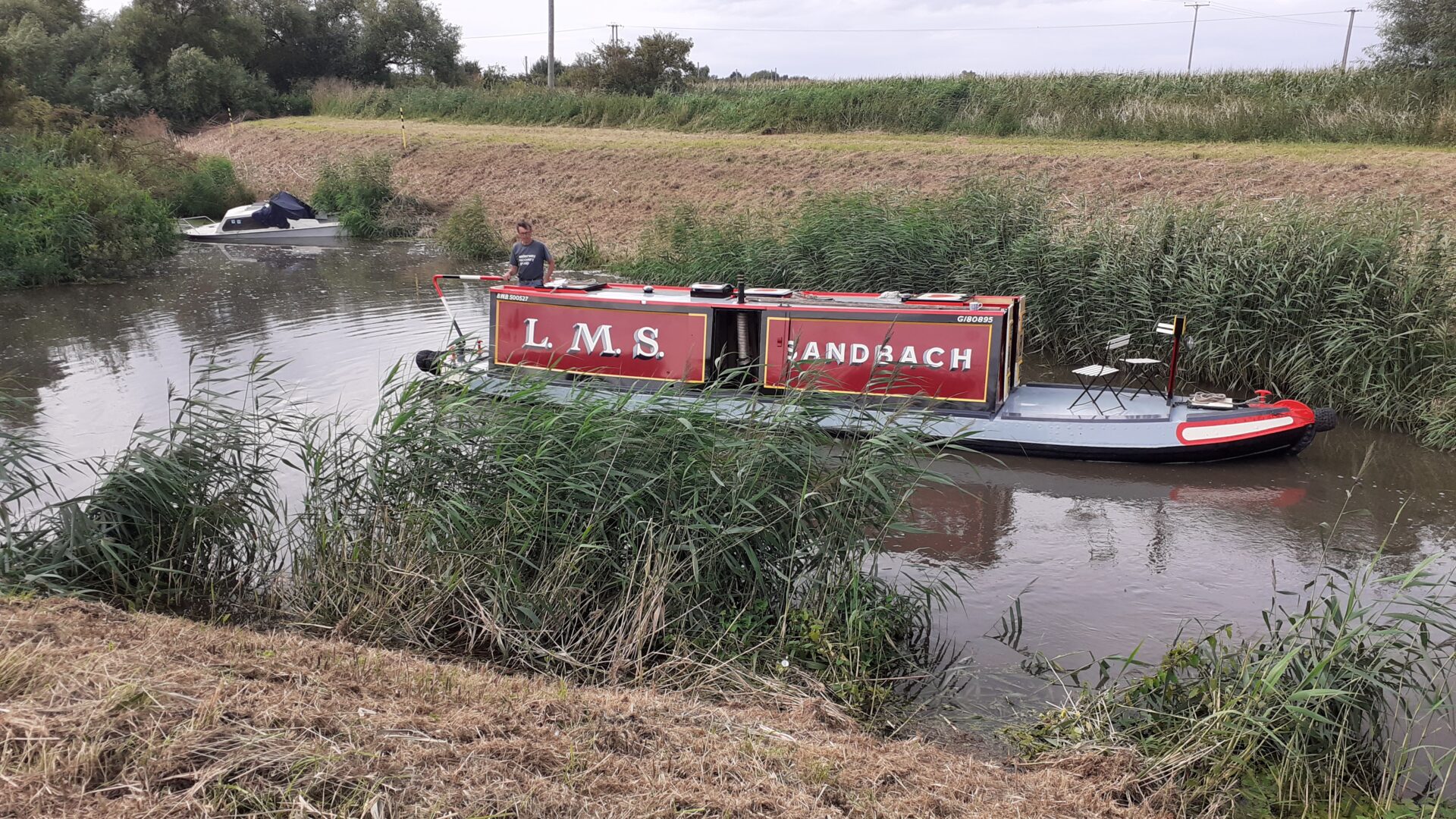
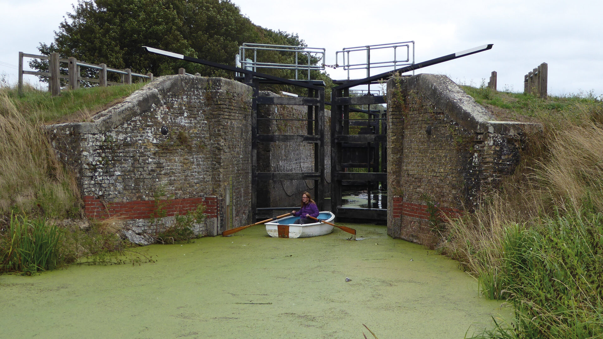
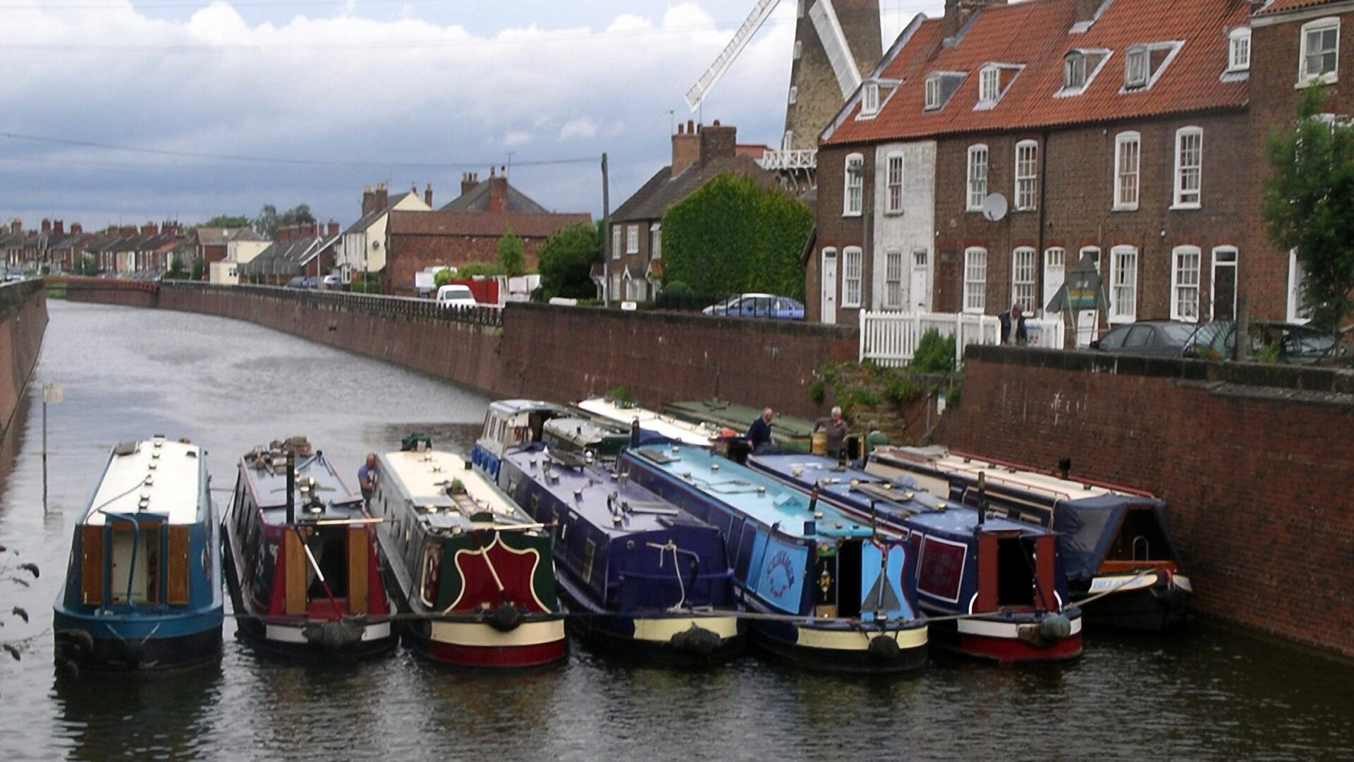
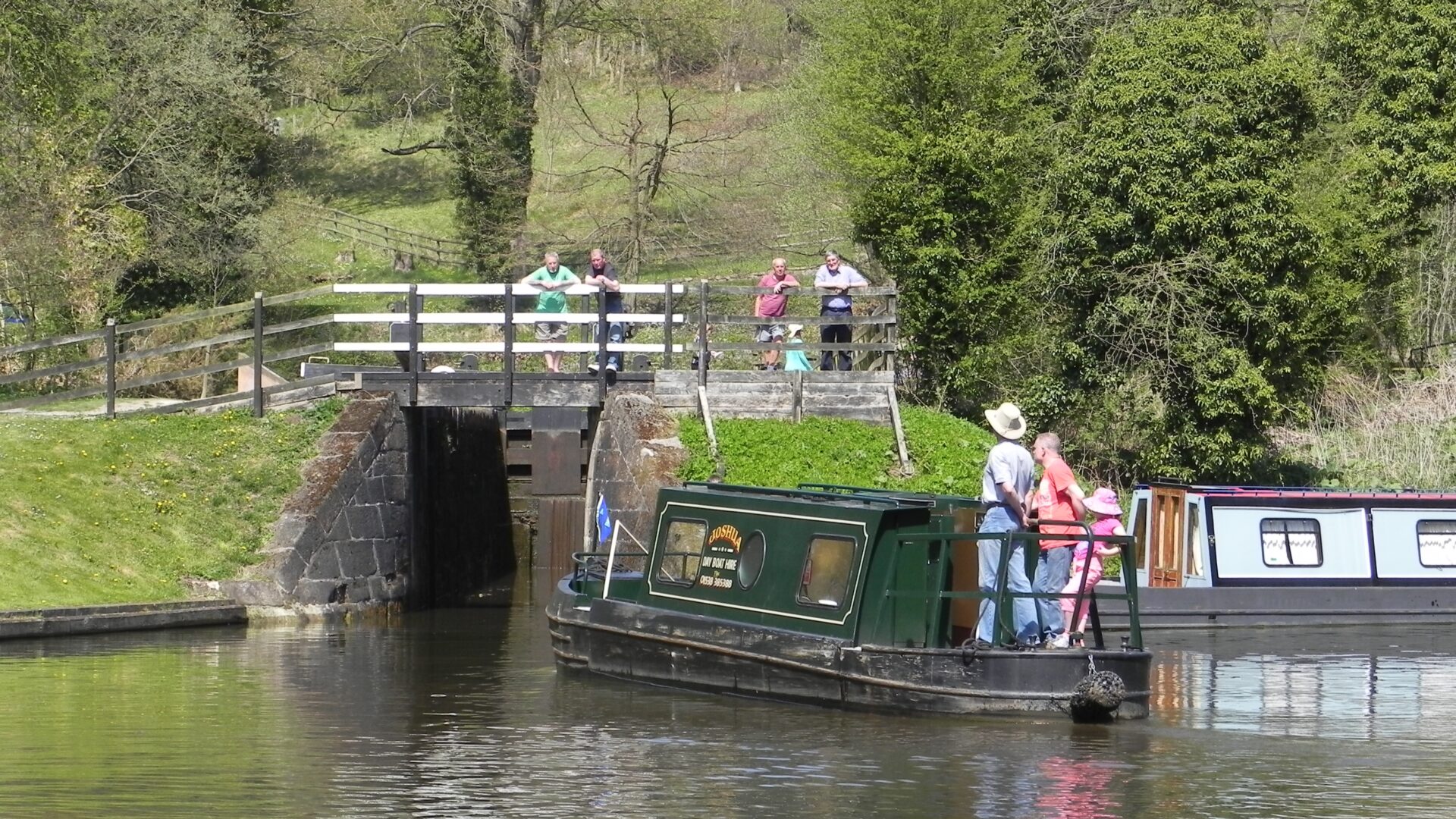
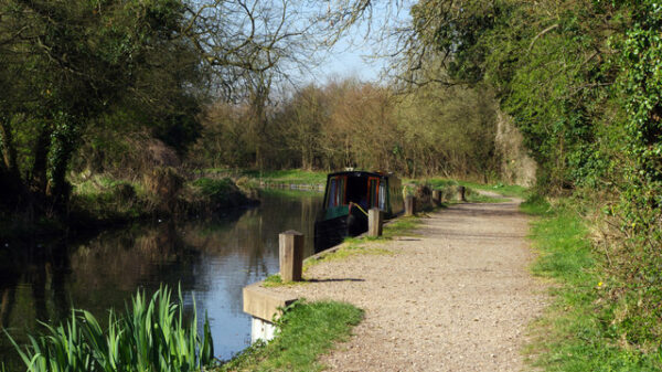
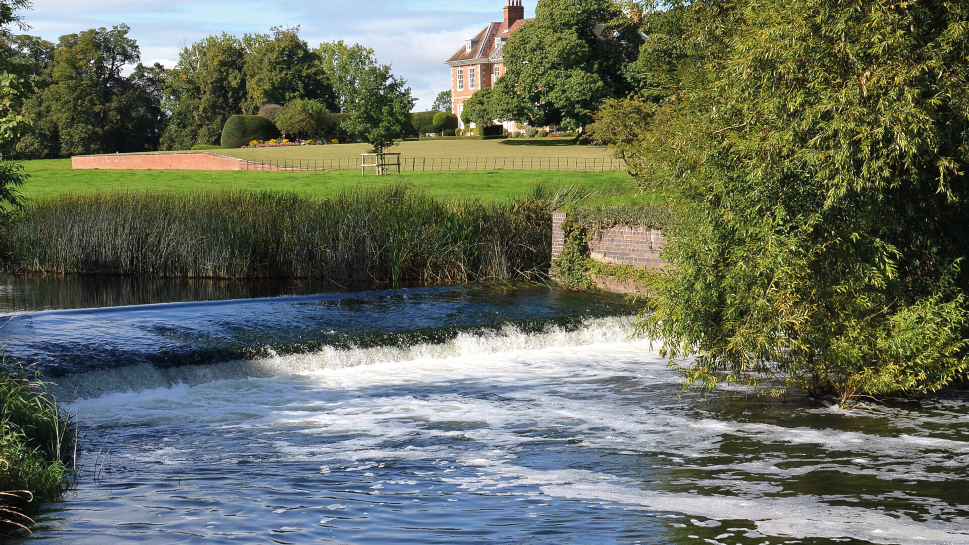
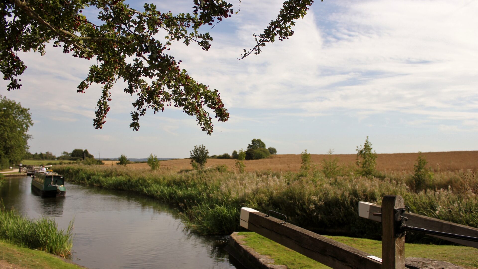
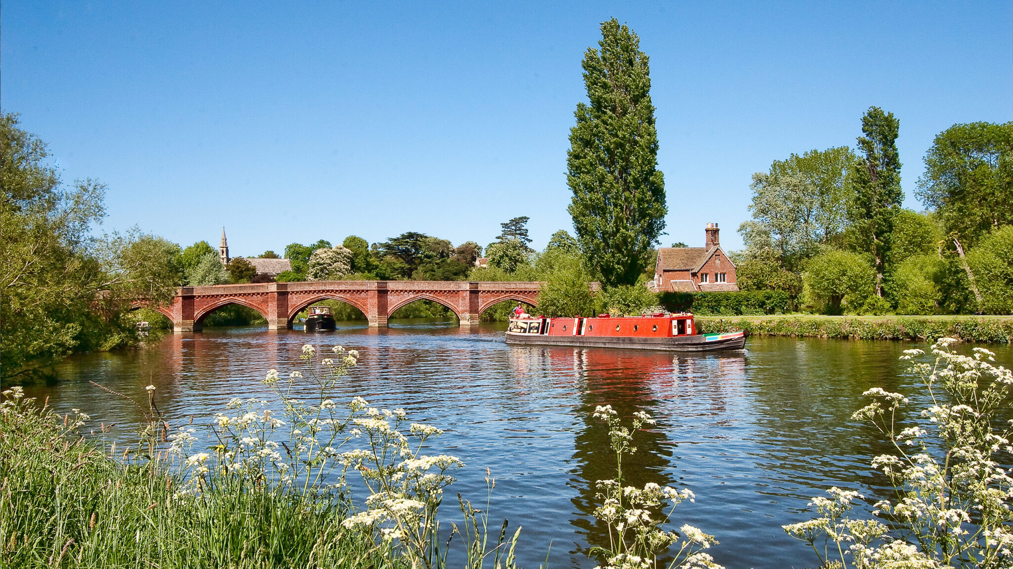
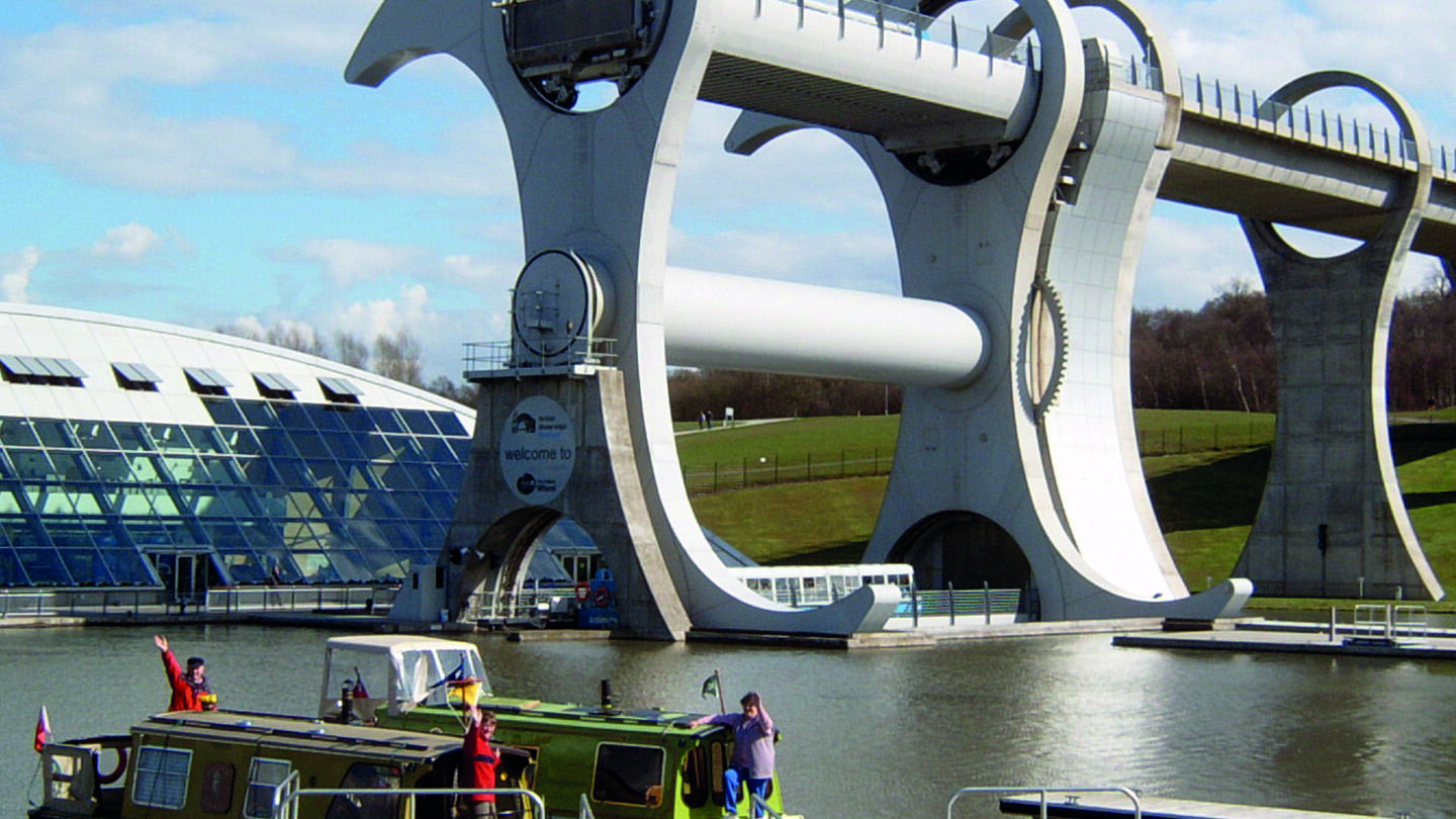
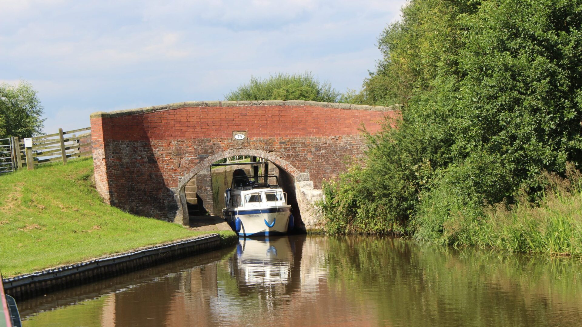
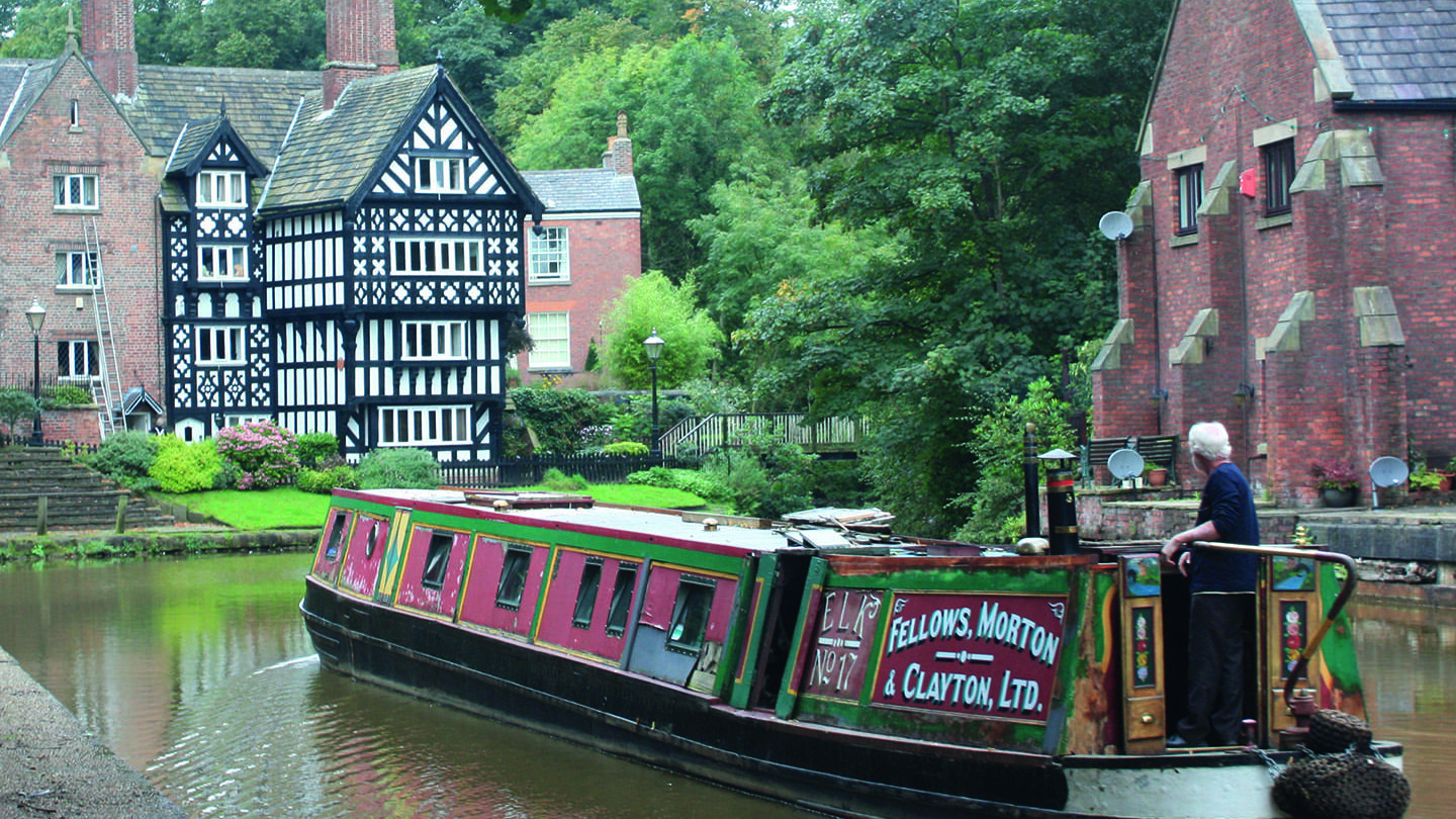
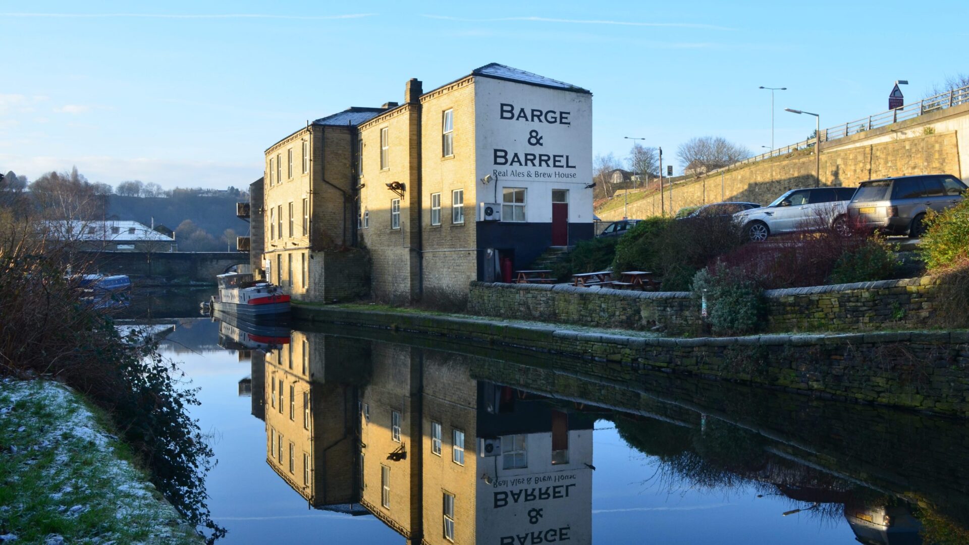
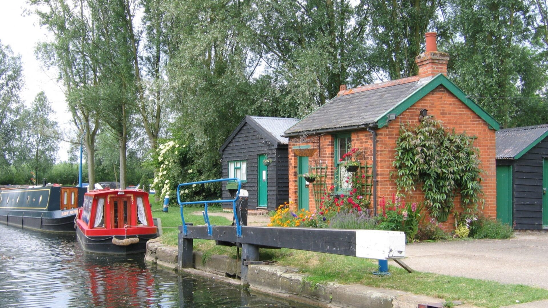
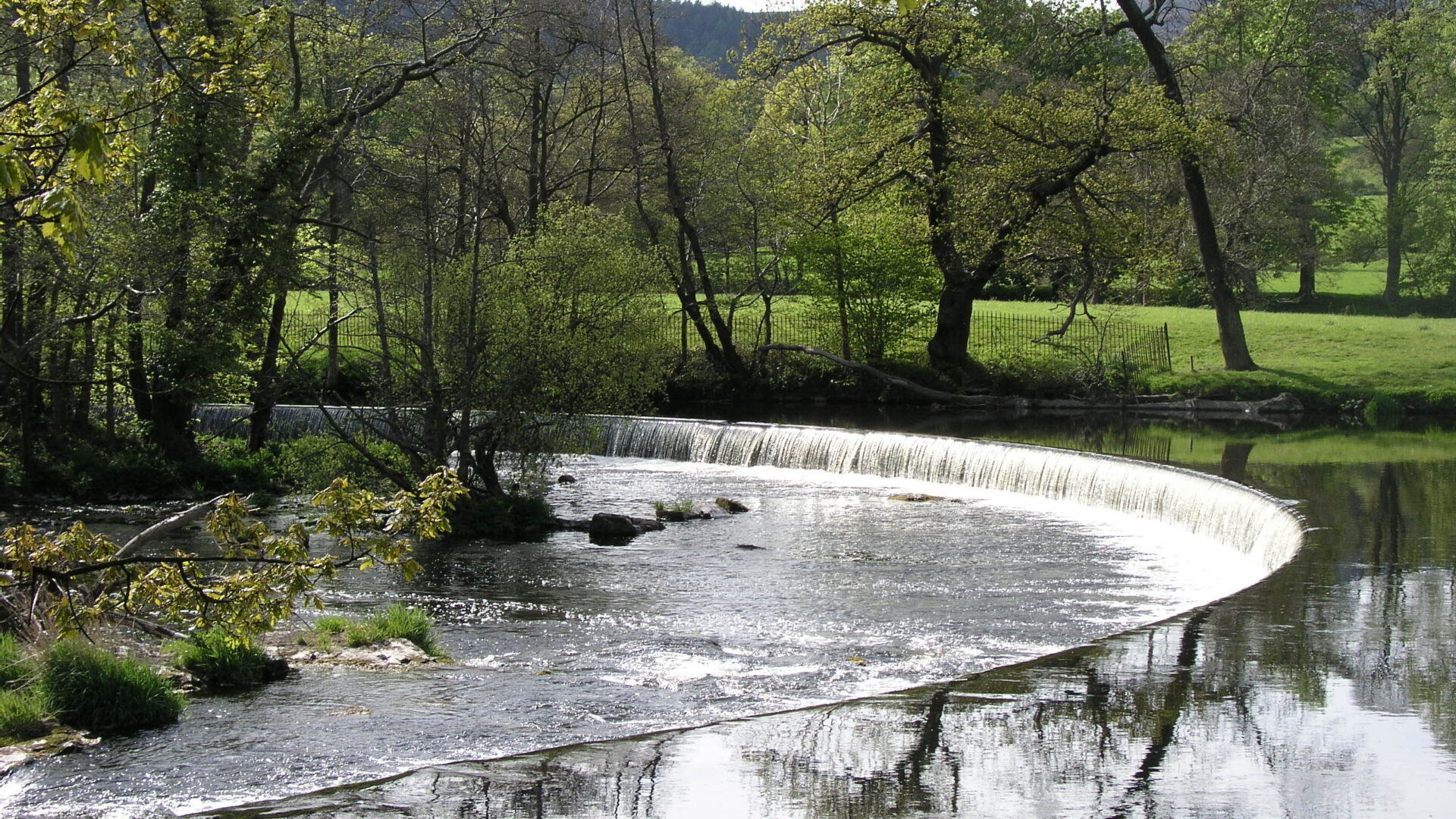
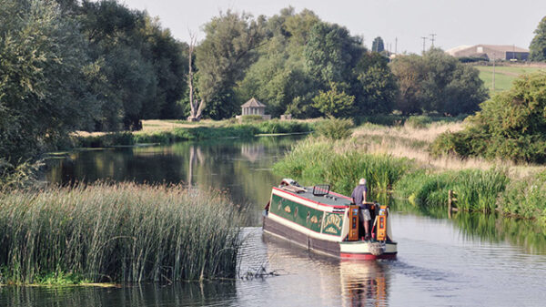
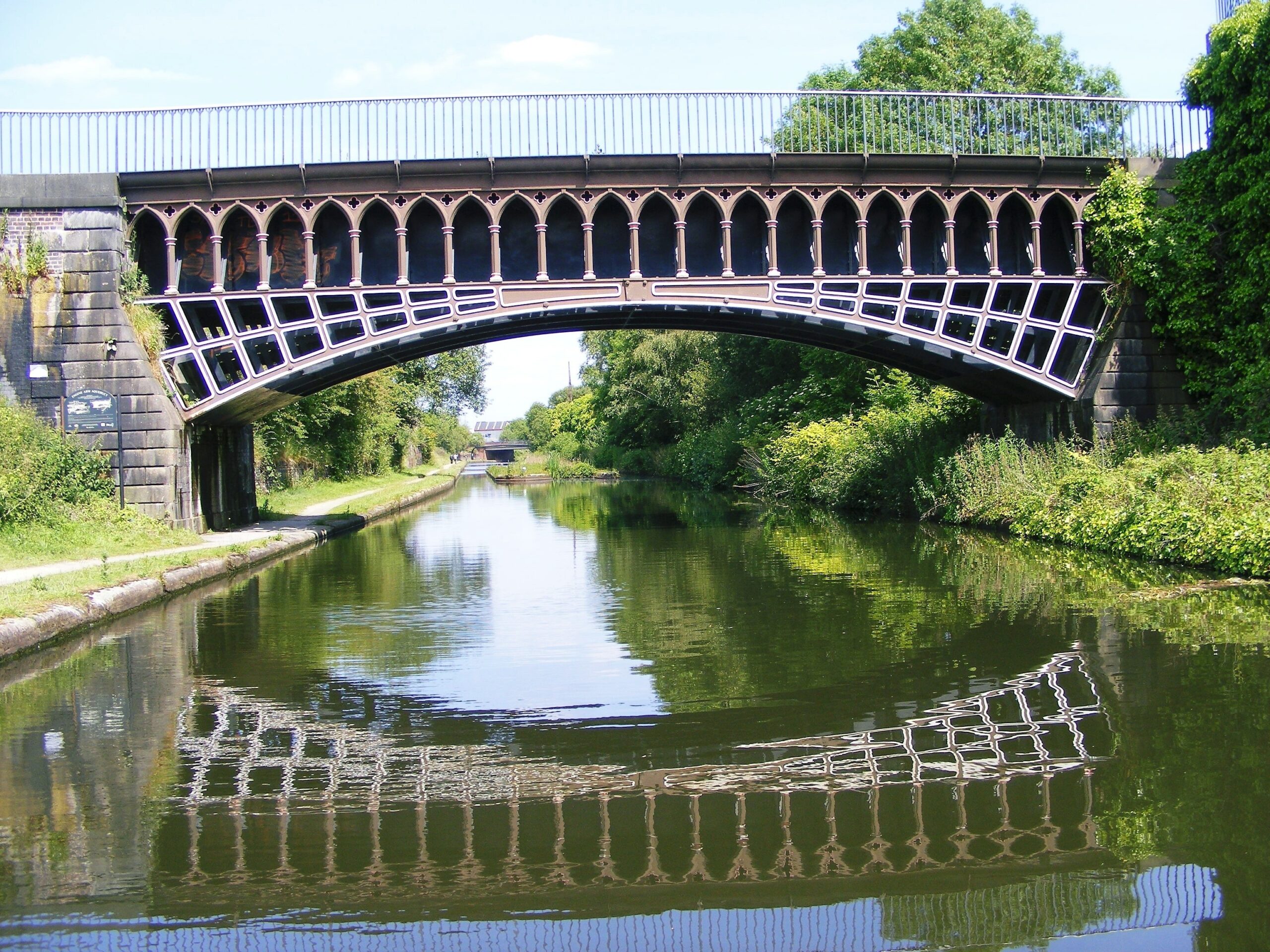
There were once 7,000 miles of canals and navigable rivers in mainland Britain. Today 5,000 are navigable, with 2,700 of those miles forming the connected waterways system of England and Wales.
You can find information about all the navigation authorities, and more facts and figures about the waterways, by signing up to receive a copy of our Waterway Directory.
By providing your email address you will receive updates to the directory as they become available. You may unsubscribe at any time. See our privacy policy.
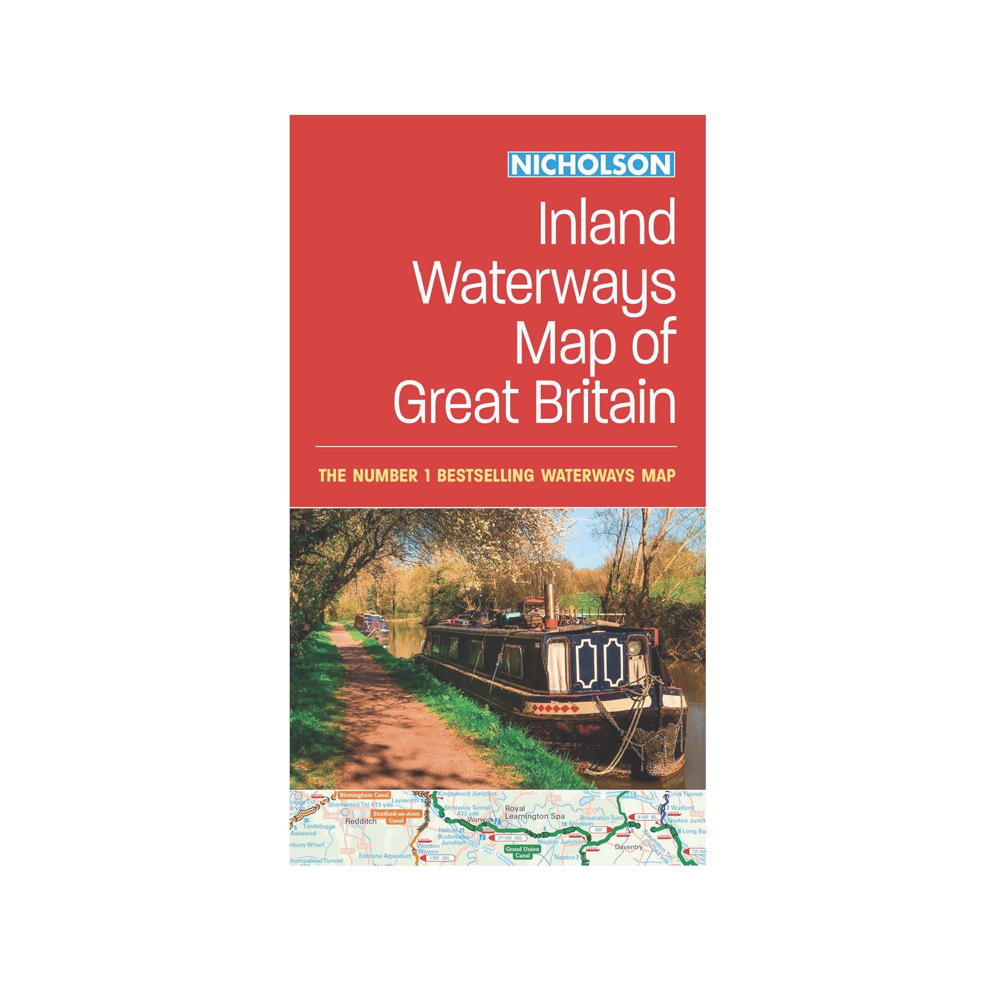
Shop Canal Maps & Guides
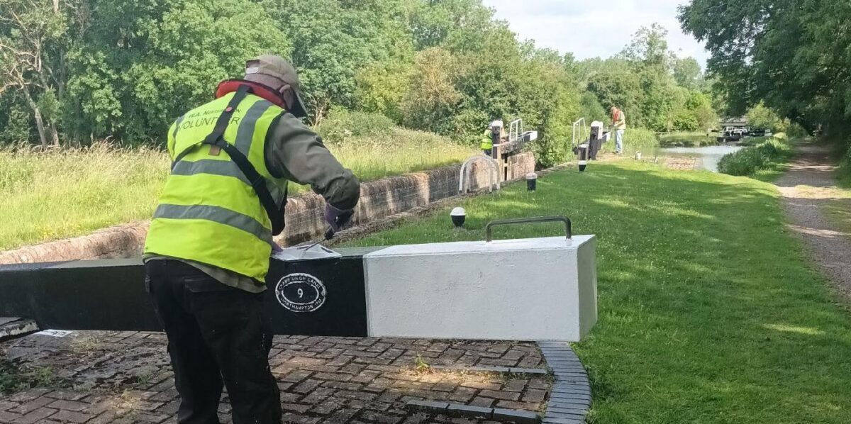
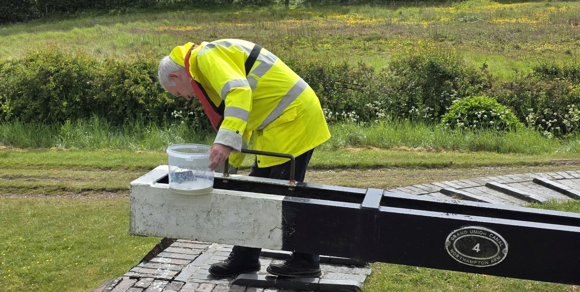
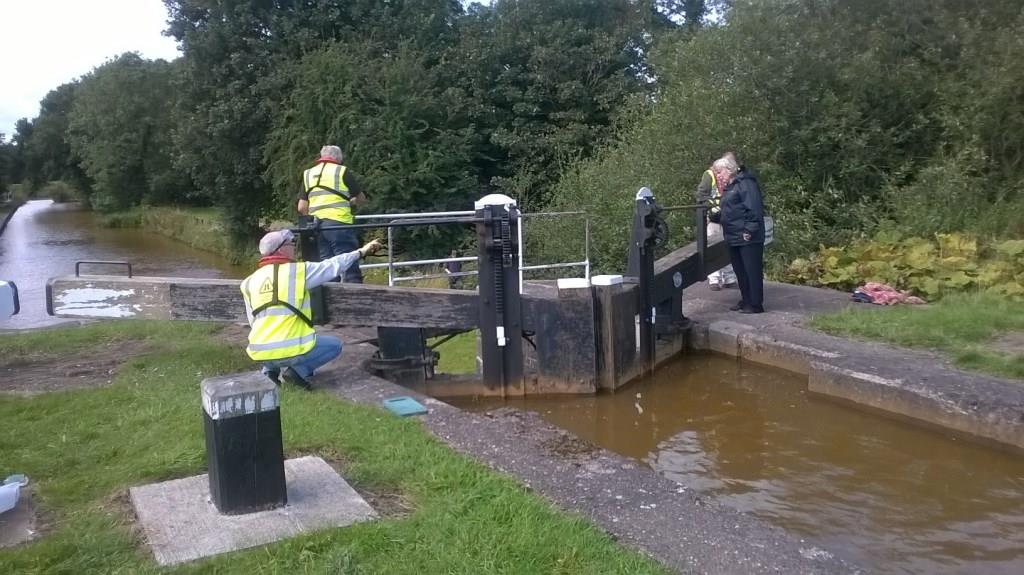
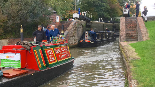
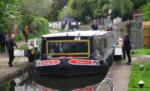
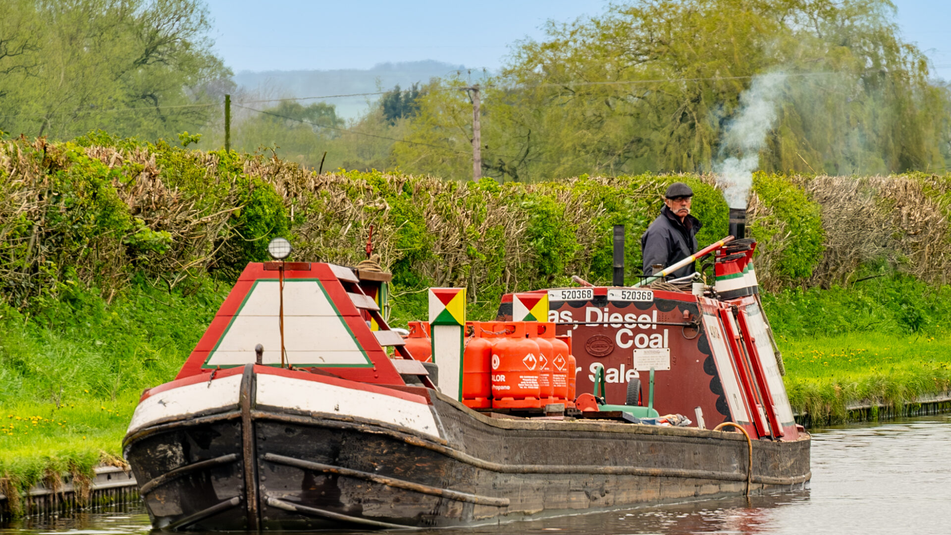
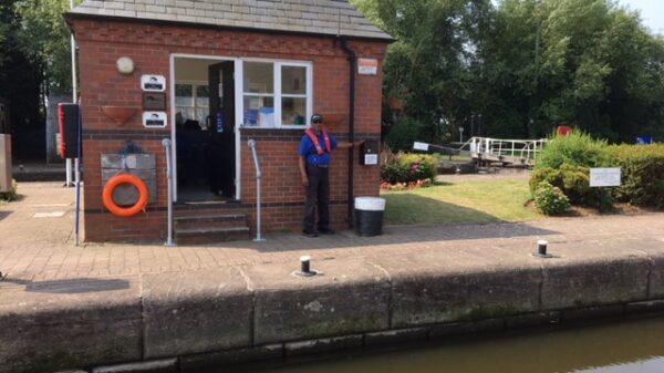
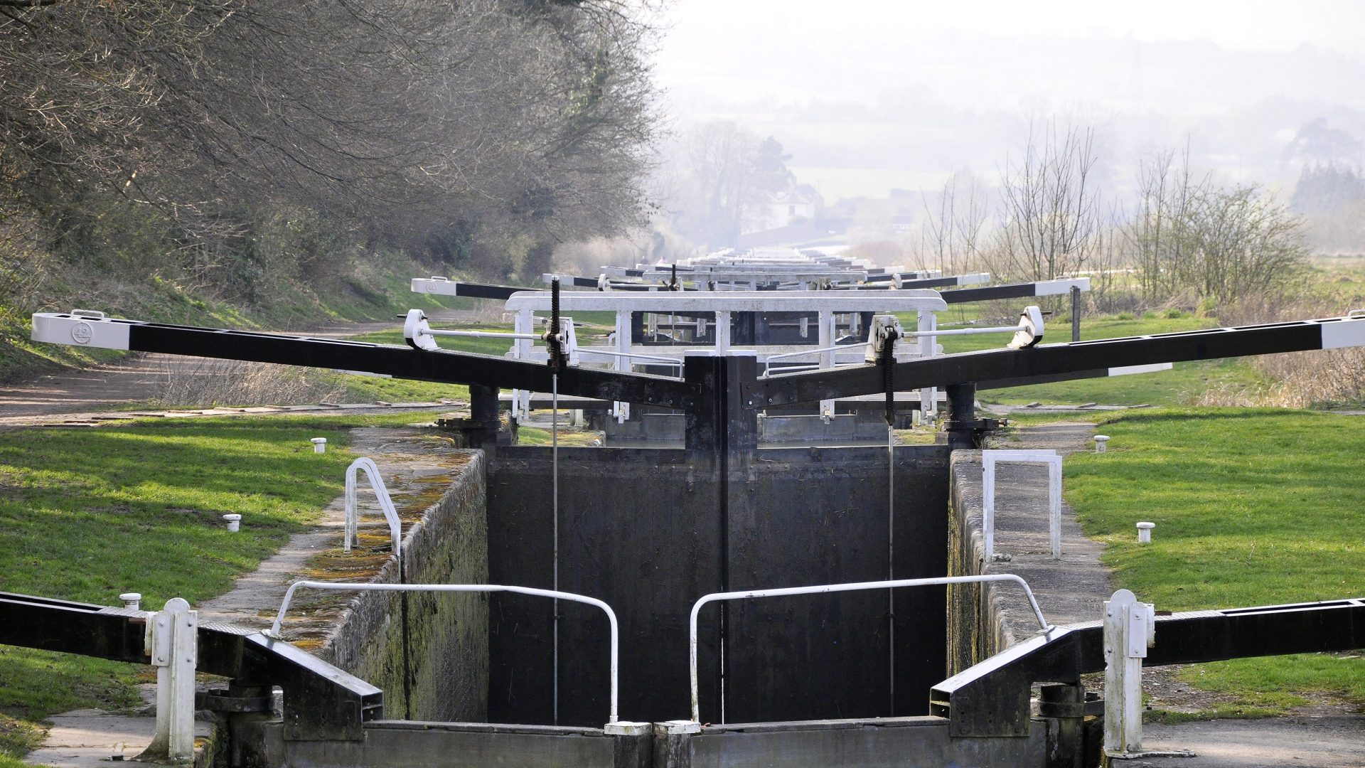
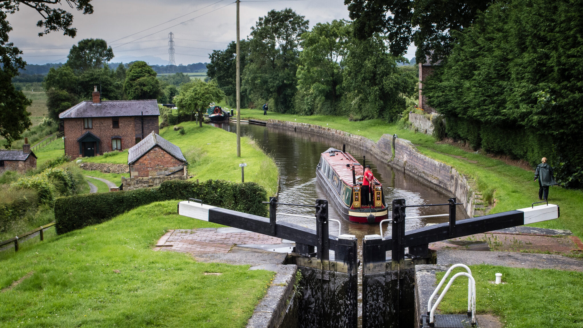
Who maintains the UK’s canals and rivers?
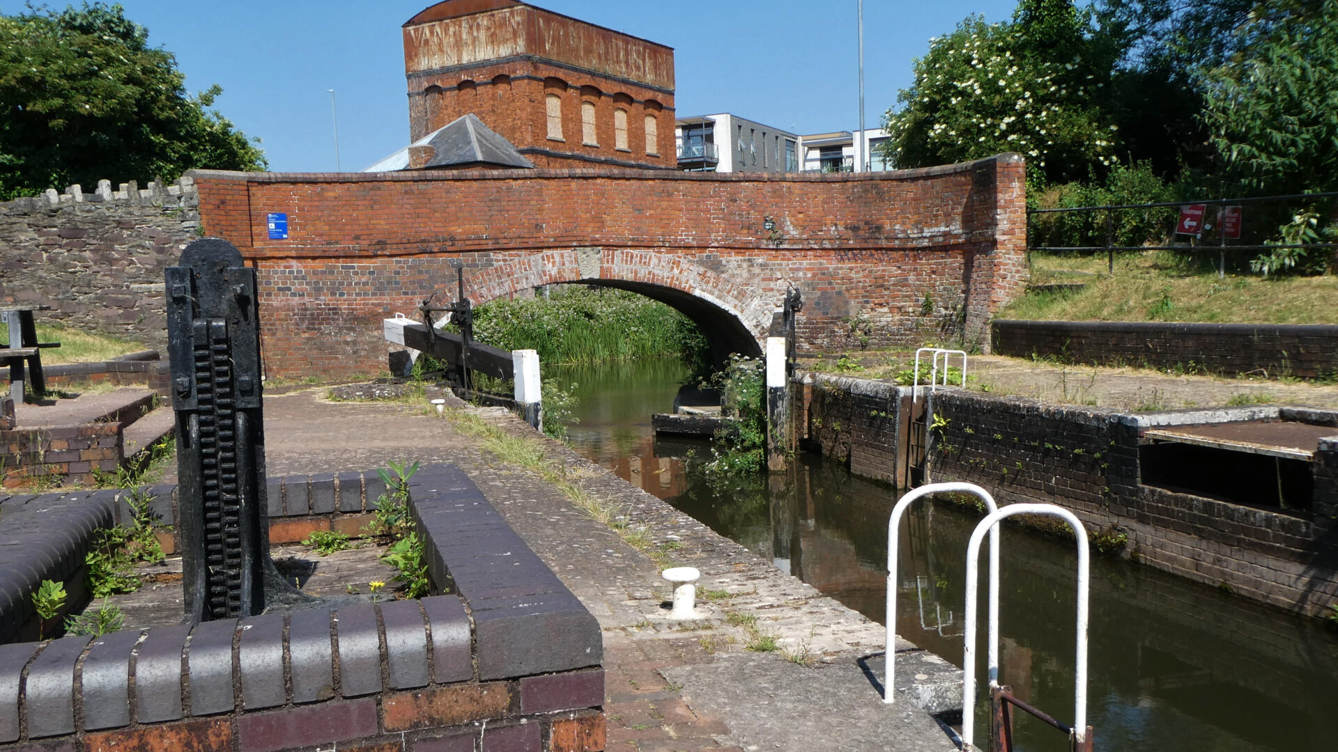
The UK’s canals and navigable rivers are managed by navigation authorities
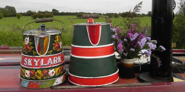
LOVE YOUR WATERWAYS
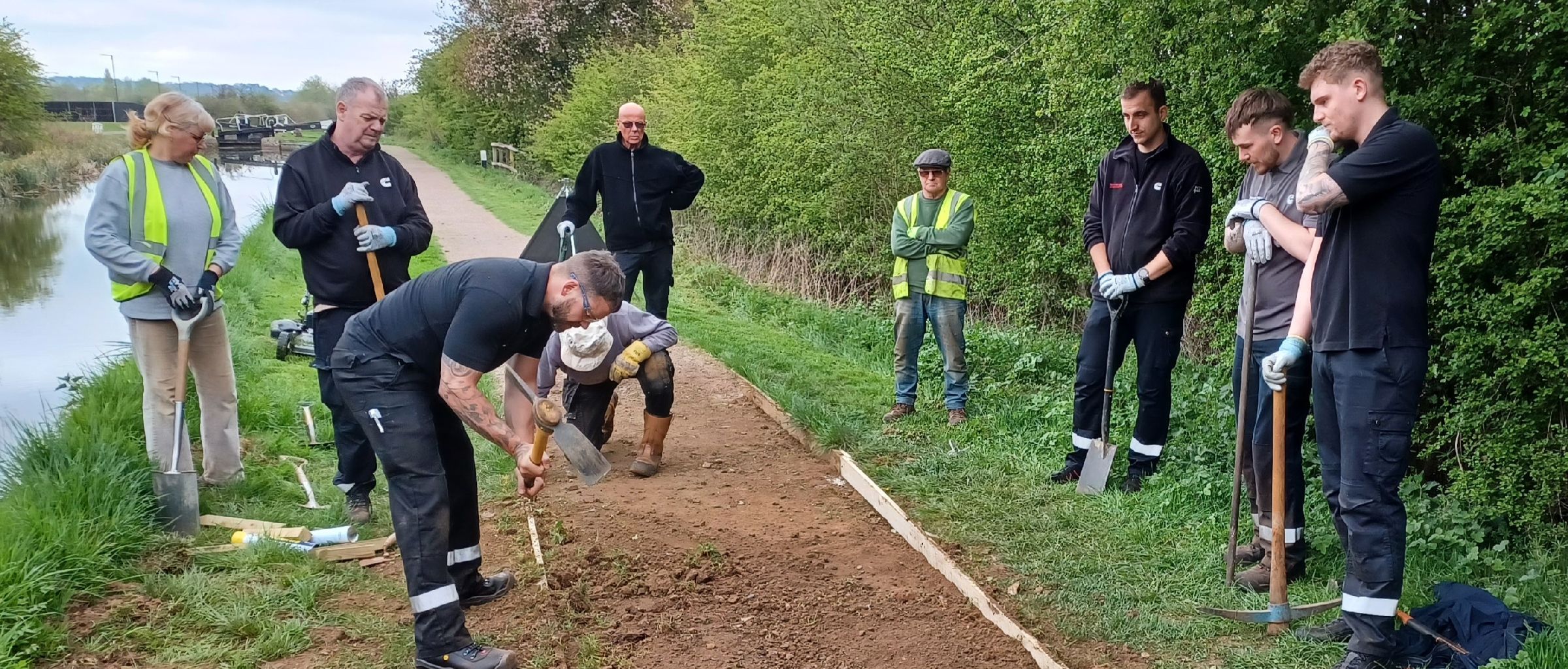
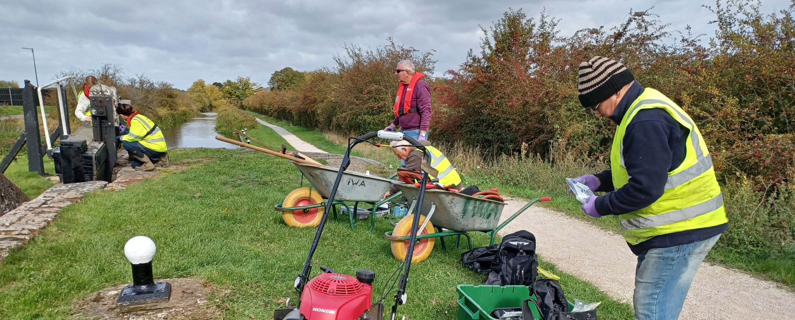
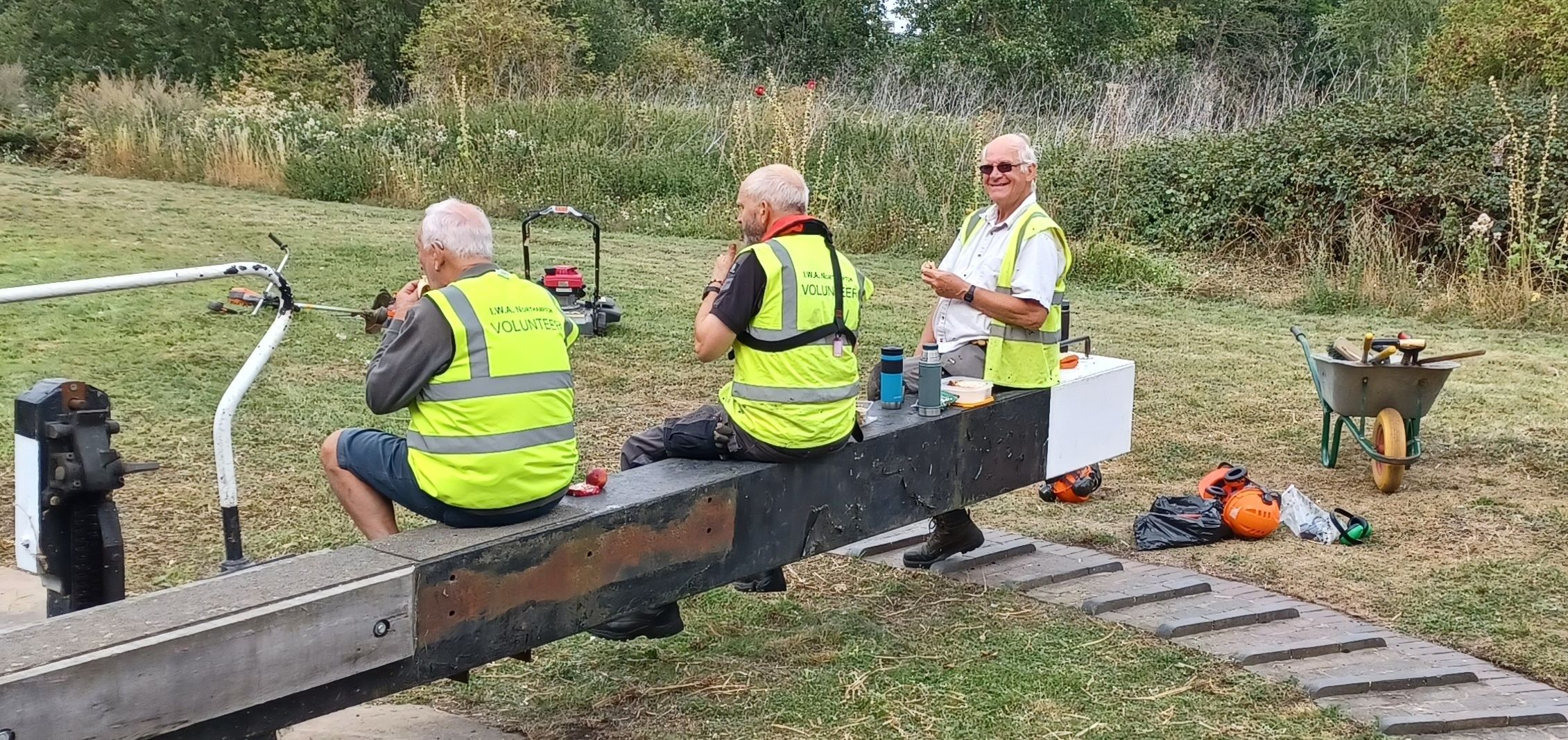
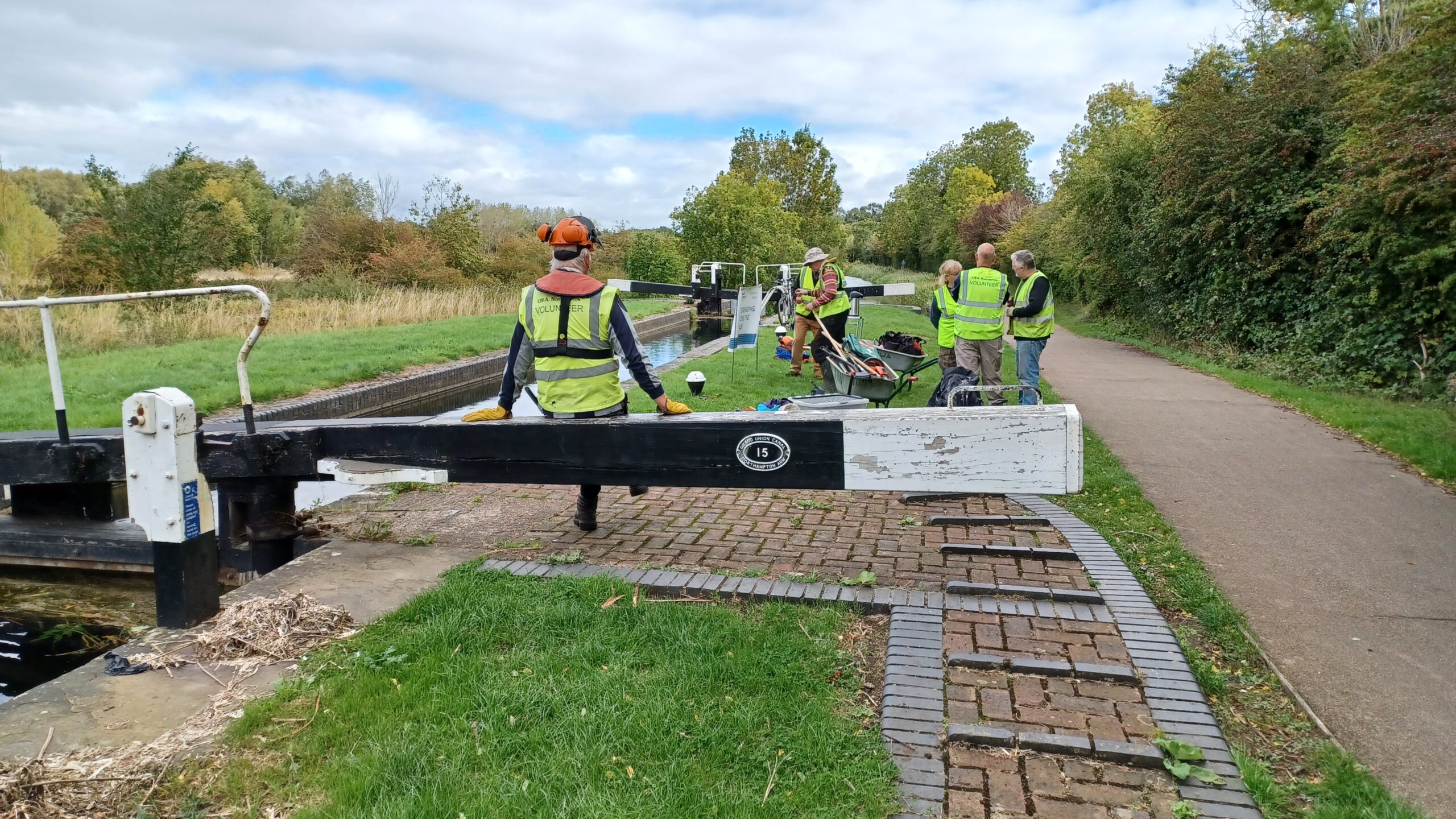
Britain's waterways are vital; together we can campaign for them now and for the future.