About the Rochdale Canal
The Rochdale Canal runs from the Bridgewater Canal at Castlefield Junction in Manchester to the Calder & Hebble Navigation at Sowerby Bridge. The Ashton Canal joins at Ducie Street Junction in east Manchester. There was a short arm into Rochdale, now closed and filled in. The canal is 32 miles (51.5km) long and originally had 92 locks. It was more successful than the Huddersfield Narrow Canal as it is a broad canal without a tunnel, which restricts traffic flow.
The idea for the canal dates from 1776 but the two attempts to get an Act of Parliament in 1792 were defeated by watermill owners. Subsequent redesign work managed to obtain consent two years later. The canal was built without the 3000yd (2700m) summit tunnel, saving £20k by adding 14 extra locks to a short summit pound. Each lock was built with a 10ft (3m) rise enabling standard size gates and making efficient use of the limited water supply. The Rochdale Canal opened to traffic in 1804 but works were not complete for another three years. The canal remained profitable until after the First World War when traffic declined and the Rochdale Canal Company sold eight reservoirs to supply drinking water. The last end-to-end journey was in 1937 and the majority of the canal was closed in 1952, only the short section linking the Ashton Canal to the Bridgewater remaining open.
After many years of slow restoration, mostly at the eastern end, the Millennium Lottery Fund enabled the full £23.8m restoration to be undertaken. In 2002 the third navigable canal route across the Pennines reopened after many years of being derelict. A notable feature is the new single deep lock at Tuel Lane that combines locks 3 and 4 to avoid altering the road in Sowerby Bridge.
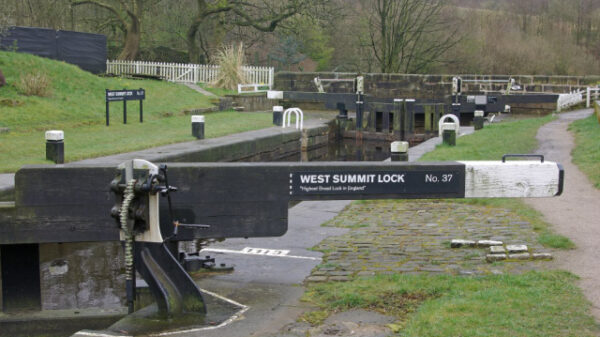
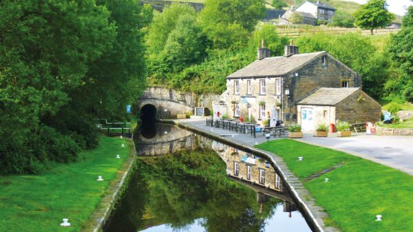
[The photo shows West Summit Lock on the Rochdale Canal – by Stephen McKay (cc-by-sa/2.0)]


