account arrow-down arrow-left arrow-right closecontact-us emailFacebookheart instagramjoin linkedin phonepinterestplaysearch twitteryoutube

Holme, Middle Level Navigations

Accessible to all craft kept on the connected inland waterways

Silver Propeller Challenge

Location

Peterborough

Visit Holme on the Middle Level Navigations by boat or canoe.

This part of the Middle Level sees few visiting boats which is why Holme has been chosen as a Silver Propeller Location. A photo of your boat in the winding hole at the end of New Dyke will be a good proof of your visit.

Complete our challenge by visiting 20 locations from our list, you will receive our exclusive plaque and goody bag.


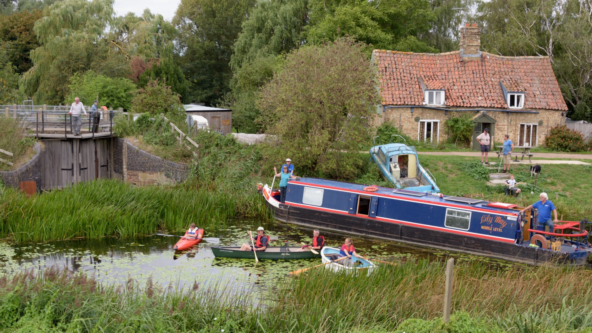
About Holme and the Middle Level Navigations

The Middle Level Navigations are a network of waterways between the Rivers Nene and Great Ouse.  Most of the area through which they run is at or below sea level, and attempts to protect it from inundation have been carried out since 1480.  The Dutch Engineer Cornelius Vermuyden proposed an improved drainage scheme in 1642 which divided the area into three zones; the North Level, the South Level and in between, the Middle Level.  Although the Middle Level was primarily for drainage, since it encompassed natural waterways already used for navigation, water levels were always managed to allow navigation.  Commissioners were established in 1754 to maintain the waterways and collect tolls from commercial traffic.  The typical Fen Lighters were 46ft long and 11ft wide. 

Holme is a small village towards the south west corner of the Middle Level Navigations.  It is near the end of New Dyke.  In 1853 the Great Northern railway dug a navigable channel from Holme rail station to New Dyke so that the waterways could still be used, primarily to take coal to Ramsey.  The roads in the Fens were so poor until after the second World War that the drains were the best way to bring goods to and from the station.  However, in August 1863 the Ramsey branch line opened, linking Ramsey to the Great Northern line.  The final part of the channel to the former rail station is no longer navigable.

Improvements to the Middle Level in the late 1970s included the construction of a pumping station at Tebbits Bridge on Bevills Leam.  This prevented navigation along this channel to the southern reaches of the Middle Levels.  Lodes End Lock near Ramsey was constructed to provide an alternative route.

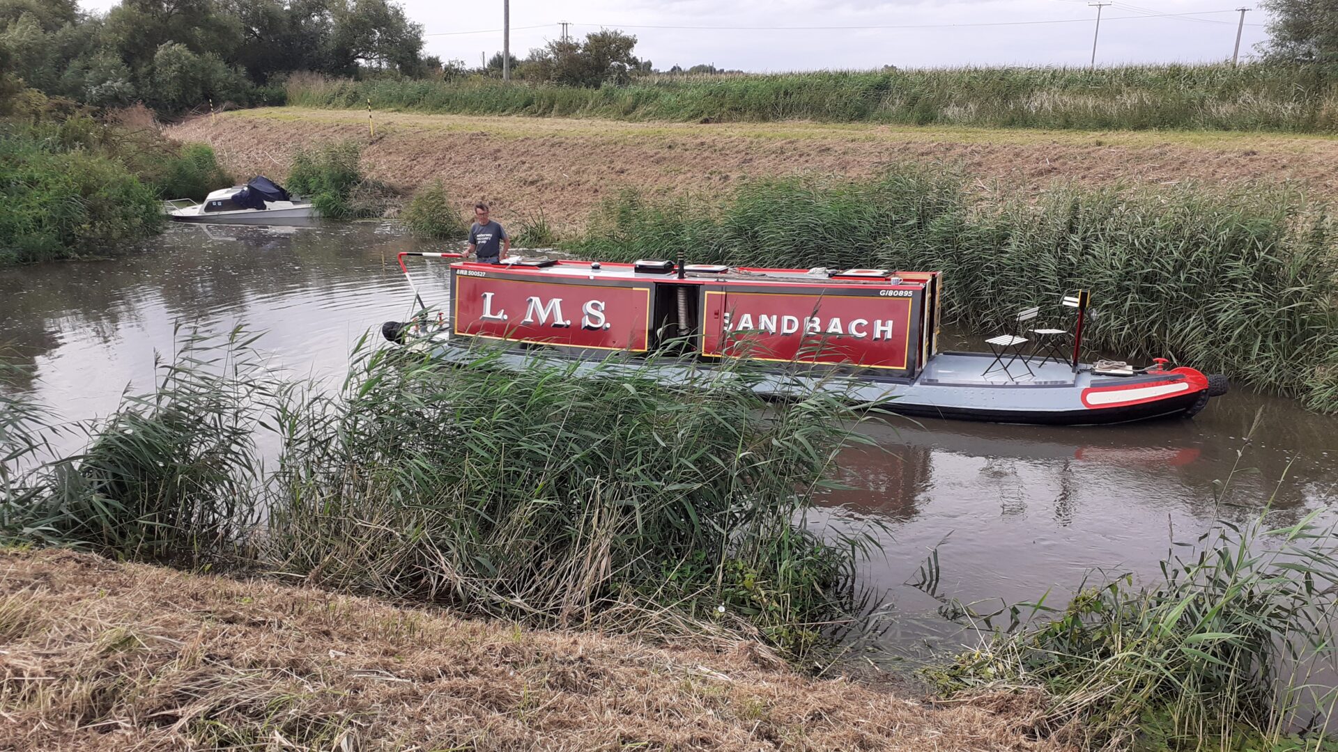
[The photo shows a boat at the end of New Dyke  –  by Alison Smedley]

Notes for visitors

Location:

Postcode: PE7 3PX

What3words /// committee.slimming.bills

Boat Dimensions

The maximum boat size that can navigate the New Dyke is:
Length – 68′ 0″ (20.7m) Lodes End Lock
Beam – 11′ 6″ (3.5m)
Height – 6′ 1″ (1.87m)
Draught – 3′ (0.9m)

Canoeing, Trip Boats and Hire Boats

The Middle Level Commissioners welcome canoeists on their waterways, for which a licence is required for non-members of British Canoeing.

There are no trip boats or day boat hires in the vicinity.

Also see…

The Admiral Wells pub at Holme is the lowest pub in the UK.   In 1851 , local landowner William Wells, a grandson of  Vice Admiral Wells,  sunk a massive iron post (taken from Crystal Palace) in the ground at Holme Fen.  At the time the top of the post was at ground level.  Now, the top of the post is more than 13 feet above ground due to erosion and continued draining of the land. The surrounding land is the lowest point in Britain.

Challenge Location

Holme

Middle Level Navigations (New Dyke)

Discover more nearby

Related activities

Waterway underfunding

Hundreds of miles of waterways – along with their unique heritage and habitats – are currently starved of funding and rely on constant lobbying by us to safeguard their future.

Sustainable Boating

We want boating on canals and rivers to be more sustainable and – even though the current overall contribution to UK carbon emissions is very small – we want to help reduce emissions on the waterways.

Waterways Heritage at Risk

Britain’s canals and rivers are a unique, living heritage. But that heritage is at risk – from urban development, lack of protection, loss of skills and knowledge and climate change.

You can help Save Waterways Heritage.

Waterway restoration

Restoring the UK’s blue infrastructure – our inherited network of navigable canals and rivers – is good for people and places.