About the Old Bedford River and Welches Dam
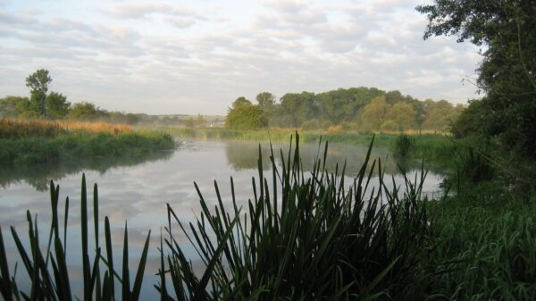
The Old Bedford River is part of the Middle Level network of waterways but predates much of the network. It was named after the fourth Earl of Bedford who instigated the works in conjunction with the local Commission of Sewers in 1630. The channel diverts the waters of the Great Ouse towards the sea in a straight line rather than the meandering original line, and this is intended to prevent flooding the surrounding low lying land. It took six years to dig by hand. Construction of the New Bedford River took place 20 years later in 1650. It achieved fame in the 19th century when it was used in an attempt to prove that the world was flat, which lead to a famous wager in 1870.
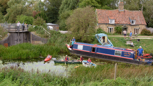
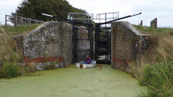
Welches Dam is a historic lock constructed to allow navigation by Fens Lighters, which were 46ft by 11ft wide. Prior to the restoration of Well Creek, the only route through the Middle Level to Denver Sluice was through Welches Dam and along the Old Bedford River. The entrance to the lock was piled across in 2006 by the Environment Agency who are responsible for this waterway, making the lock un-navigable. The sole means of access to the Old Bedford River is from just upstream from Salters Lode. However, this entrance has a pair of gates and a guillotine gate, which are not far enough apart to make a useable lock for longer vessels. Access for longer boats is thus only possible during the short time when the tide makes a level and needs to be arranged in advance with the Environment Agency.
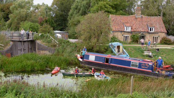
[The photo shows an IWA Campaign Cruise at Welches Dam Lock on the Old Bedford River – by Mike Daines]


