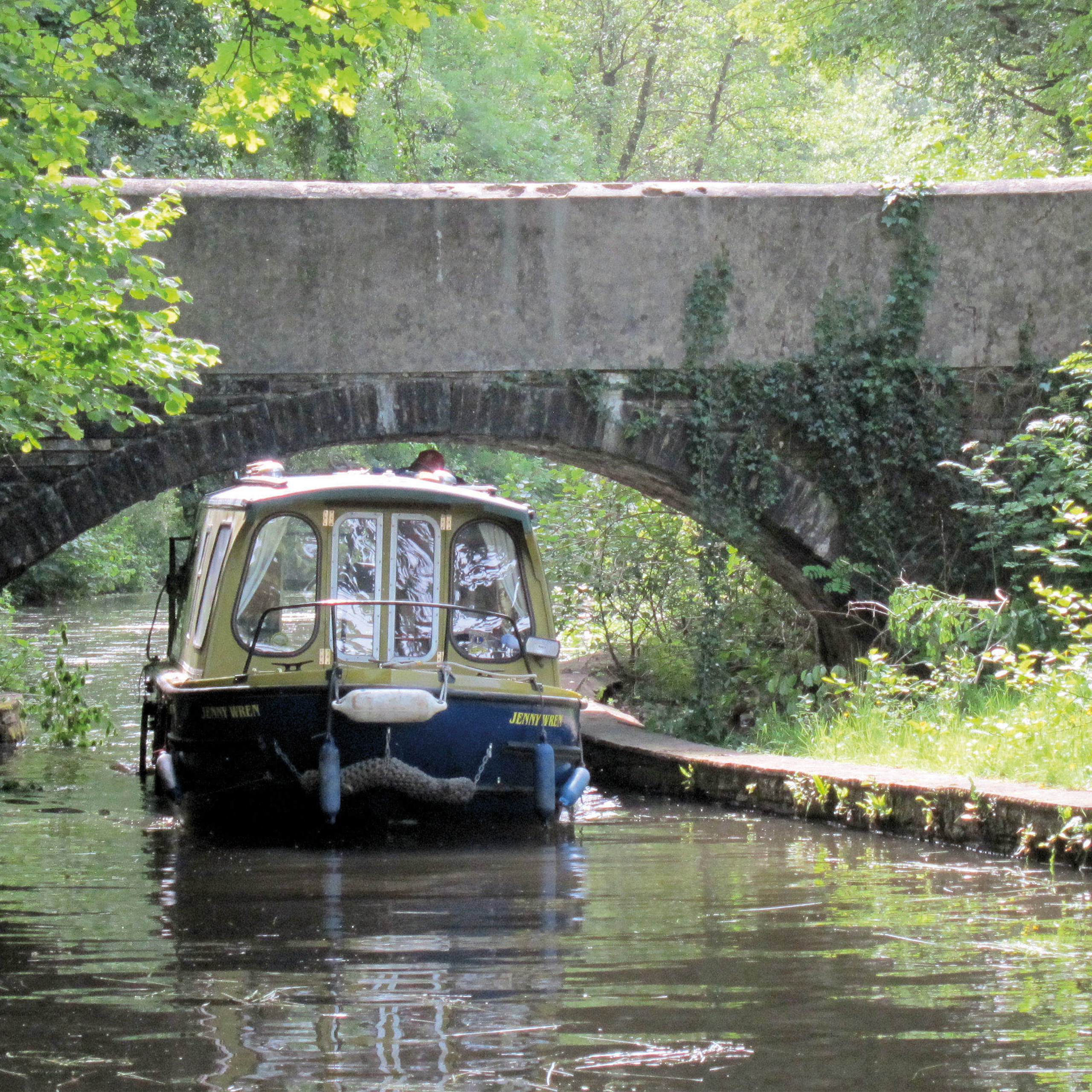
New research reveals a total of 7,000 miles of waterways in Great Britain. Of these, 5,000 of the miles are navigable today. The other 2,000 miles are either derelict or under restoration.
Our Waterways Directory is an invaluable and unrivalled waterways resource that details all the inland waterways ever brought into navigation. It has been updated with thorough research by IWA experts and local volunteers.
The main sources of the additional 500 miles uncovered are:
- further research in Scotland
- improved coverage of former routes of river navigations
- including more significant branches of the Grand Union Canal in the London area
The research informs our local campaigning and sprung out of the need to know who was responsible for what waterway. The new version also lists every local authority responsible for the areas through which each waterway passes. Local IWA volunteers use the Directory to contact navigation authorities and work towards better local waterways.
John Pomfret, the IWA navigation expert who compiled the directory, explained: “The Directory has been updated to give an authoritative record of the country’s waterways assets, the only place the information is available in one place in such an accessible form.”
“It highlights the complexity of protecting and restoring the waterways, with over 200 navigation bodies in Great Britain, and the scale of the invaluable heritage and habitats of our canals and rivers,” he said.