About the Monmouthshire Canal
The navigable length of what is commonly referred to as the ‘Mon & Brec’ is, in fact, two separate canals: the Monmouthshire Canal and the Brecknock & Abergavenny Canal. The latter runs for 33 miles from Brecon to Pontymoile with 6 locks, much of the canal is along the edge of the hillside and all of it in or adjacent to the Brecon Beacons National Park. South of Pontymoile, the Monmouthshire Canal linked to the sea at Newport with an arm to Crumlin joining at Malpas Junction. Only the top 2 miles of the Monmouthshire Canal are navigable, to the start of the heavily locked section through Cwmbran.
Both canals were proposed around the same time but the Monmouthshire Canal was built first. An agreement to make a connection at Pontymoile benefitted both enterprises. The canals were built with tramways to link to the various industries along the route as the terrain does not lend itself to branch canals. The surviving parts of the canals were later owned by the Great Western Railway and were subsequently nationalised. Restoration began in 1964, although only recently abandoned, as part of the National Parks improvement scheme. The canal north of Pontymoile reopened in 1970 but the top part of the Monmouthshire Canal had to wait until 1997. The Canals are isolated from the main connected network of waterways in England and Wales.
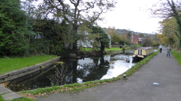
[Photo: the southern limit of navigation on the connected Monmouthshire Canal – by Alison Smedley]


