About the Sleaford Navigation
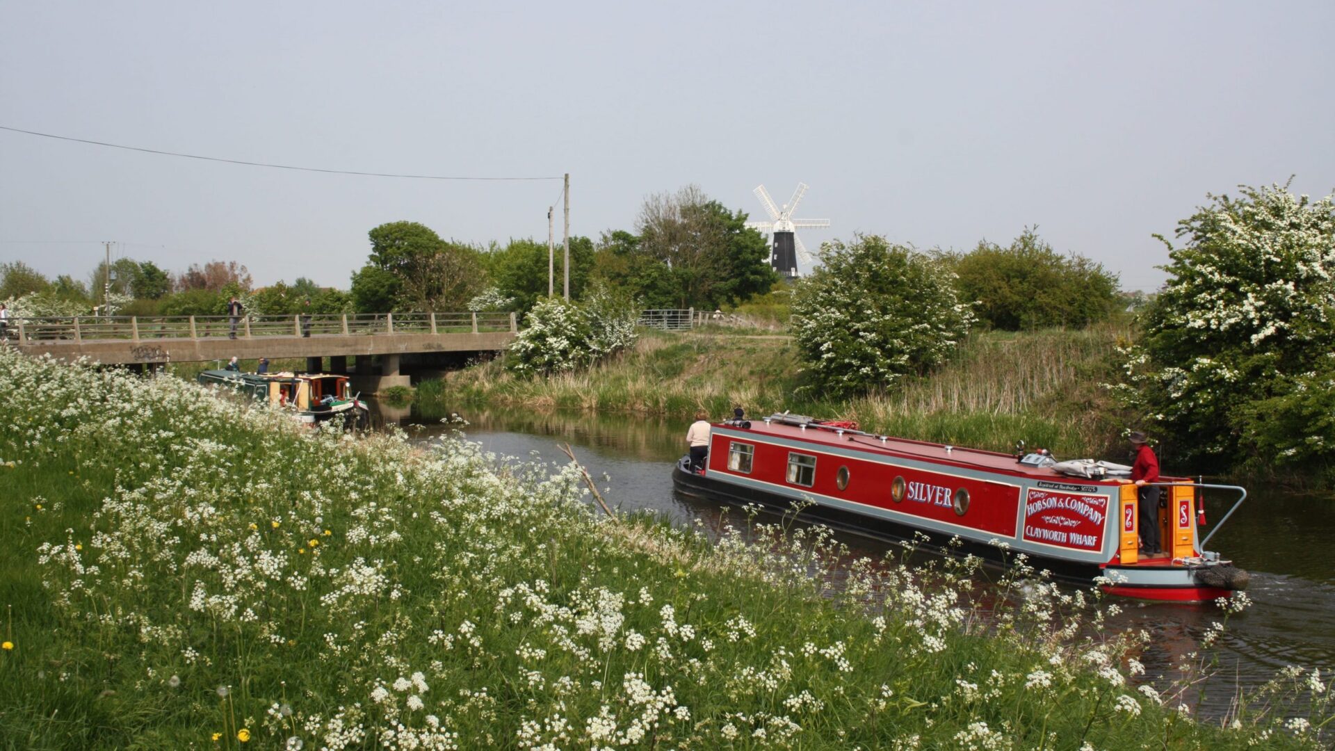
The Sleaford Navigation, also known locally as Kyme Eau, leaves the River Witham near Chapel Hill and climbs south west through seven locks and 12 ½ miles to the market town of Sleaford. A commercial waterway was planned as early as 1343, and the present Navigation opened in 1794. It officially closed in 1881, due to competition from the railways, despite its initial success. Sleaford Navigation Trust was formed in 1976 to promote restoration of the waterway. The Trust has made considerable progress and owns the portion of Navigation bed in Sleaford.
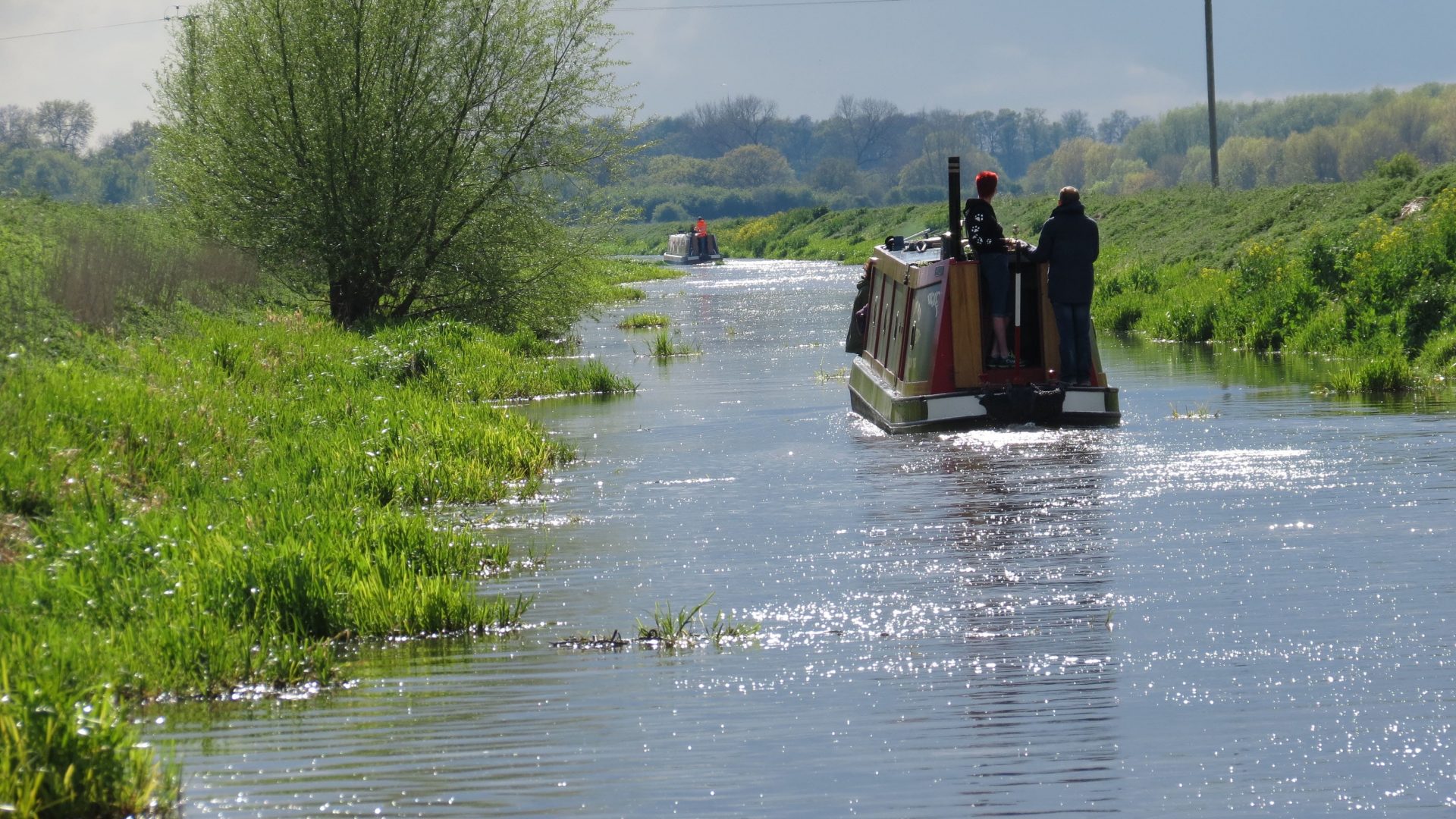
A pair of flood doors after the road bridge at the junction protect against high water in the River Witham. These may need opening to gain access, which can be tricky but is possible with careful use of a boat hook from the bows. A white mark on the right hand guillotine gate support pillar at Taylors Lock (also known as Bottom Lock), near South Kyme, gives a height indication for the very low bridge at Half Penny Hatch 1.8 miles beyond the village. There is a winding hole about half a mile before this bridge. There are also a couple of quite low bridges on the way in to the village. Winding is also possible immediately above Kyme Bottom Lock. Water levels in the Navigation can change, so beware that the bridge headrooms may be less than expected. The current limit of navigation is the winding hole just before Cobbler’s Lock, which is 7.5 miles from the junction. Depending on the time of year of your visit, there can be a lot of weed in the Navigation. More visiting boats will help!
To complete the Silver Propeller Challenge, take a photo of your boat at the winding hole about 1.9 km (1.2 miles) above the moorings at South Kyme. Only proceed past this point if the Navigation is clear of weed – otherwise you will get stuck! During the summer months, water in the final section to Cobbler’s Lock can be shallow, and this is another way of getting stuck!
[The photo shows Kyme Tower, taken from the Navigation about half a mile before the low bridge at Half Penny Hatch – by Fiona Burt in October 2023]