account arrow-down arrow-left arrow-right closecontact-us emailFacebookheart instagramjoin linkedin phonepinterestplaysearch twitteryoutube

Harlam Hill Lock, River Ancholme

Accessible for local, portable and trailable craft

Silver Propeller Challenge

Location

North Lincolnshire

Visit Harlam (also spelled Harlem) Hill Lock on the River Ancholme by boat or canoe.

It has been chosen as a Silver Propeller Location to support IWA’s campaign to reopen Harlam Hill Lock which was closed by the Environment Agency in 2012 cutting off the top two miles of waterway. A photo of your boat at Harlam Hill Lock, or at Bishopbridge for small portable craft, will be a good proof of your visit.

Complete our challenge by visiting 20 locations from our list, you will receive our exclusive plaque and goody bag.


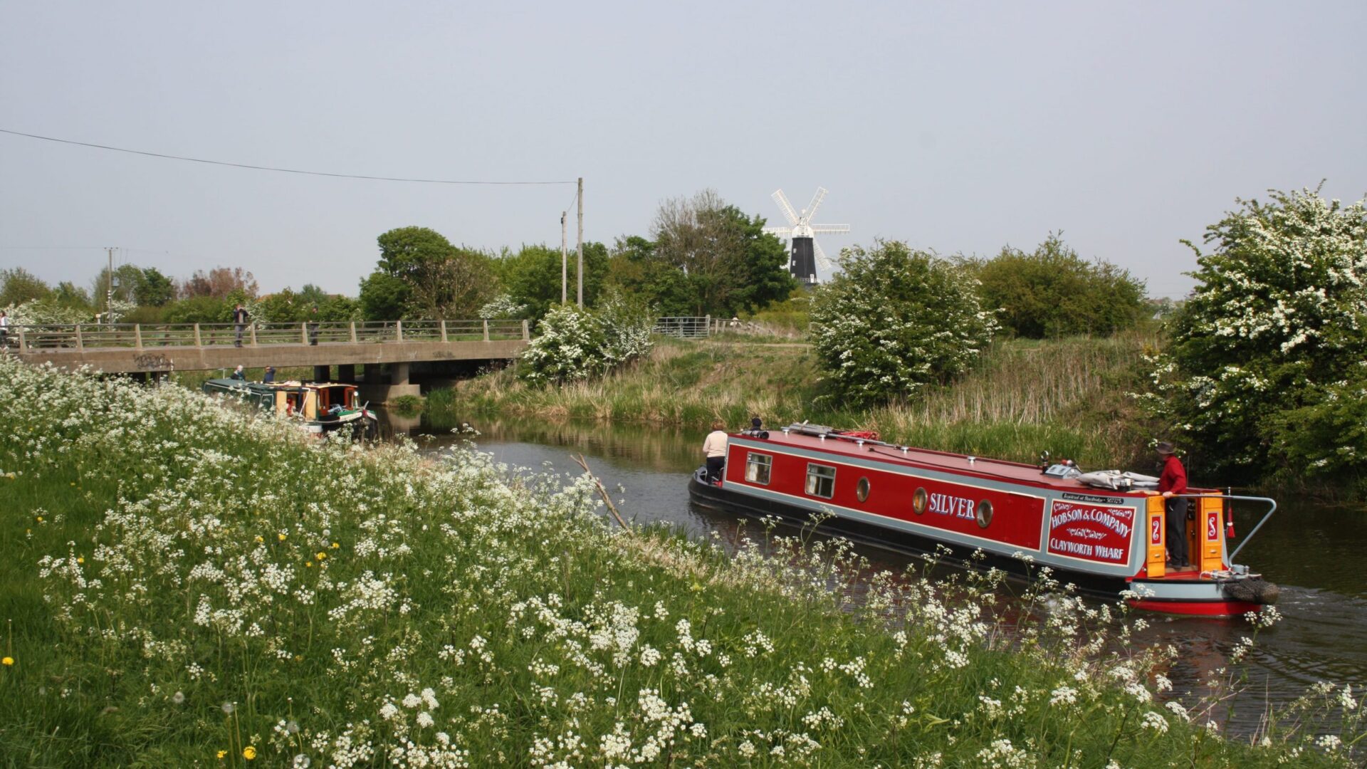
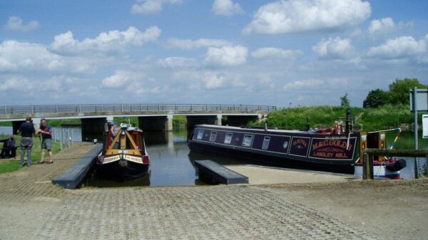
About the River Ancholme

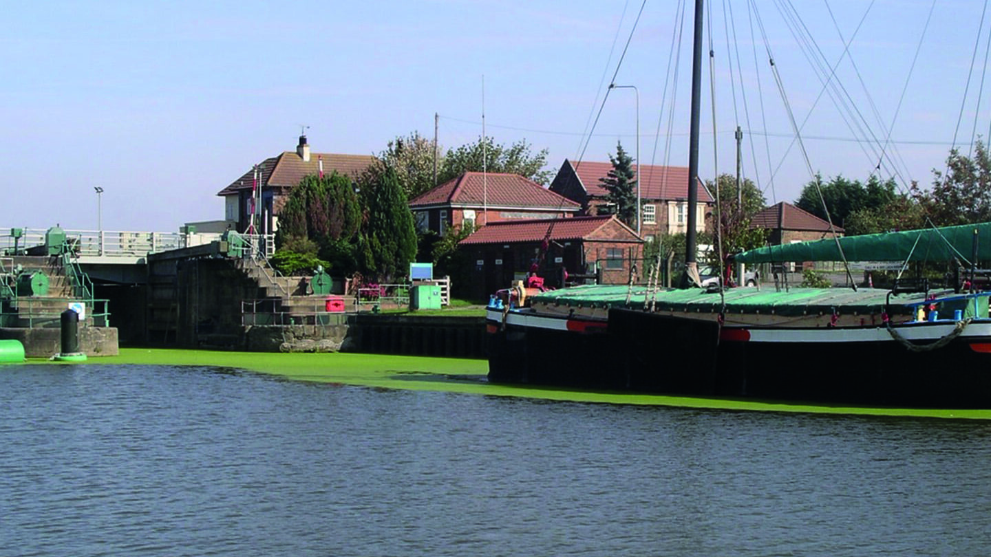
The River Ancholme is navigable from the Humber Estuary at Ferriby Sluice, near South Ferriby, to its terminus at Bishopbridge 19 miles (30.4 km) upstream.  There are two locks (Ferriby Sluice and Harlam Hill Lock) and an additional navigable loop in the river to the small town of Brigg.

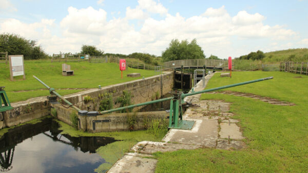
The river has long been used for navigation and drainage of the surrounding lands.  The course was substantially straightened in the mid 1600s to improve drainage and a sluice was constructed at Ferriby to stop the ingress of silt from the Humber estuary.  The new channel bypassed the town of Brigg but the old channel was retained forming Carr Island.  After many years of neglect a new sluice, including a lock, was completed in 1769 by the newly appointed commissioners.  This, together with dredging, so improved navigation that the Caistor Canal was built in the late 1790s.  Problems with drainage meant that John Rennie was consulted in 1801; he proposed work on Ferriby Sluice and adding two new locks at Harlam Hill and Kingerby.  Only Harlam Hill lock was eventually built, in 1827.  The lock and the channel above were derelict in the 1980s, only being fully restored to navigation in 2004 with funds raised by the Lincolnshire Waterways Partnership.  There are some notable bridges over the river including Horkstow Bridge; this is the first bridge after Ferriby and is the only suspension bridge designed by John Rennie.

[The photo shows Harlam Hill Lock  –  by Richard Croft CC BY-SA 2.0]

Notes for visitors

Location

Postcode: DN21 4UX

What3words /// assorted.fatigued.confusion

Boat Dimensions

The maximum size of boat that can navigate the River Ancholme is:-

Length: 69′ 0″ (21.03m) – Harlam Hill Lock
Beam: 16′ 0″ (4.88m) – Harlam Hill Lock
Height: 11′ 0″ (3.29m)
Draught: 4′ 11″ (1.5m)

Ferriby Sluice lock can accommodate boats 80′ (24.37 metres) x 19′ (5.78 metres).  It is operated 3 hours either side of high tide by a lockkeeper (Tel: 01652 635219 – VHF Channel 74).

Canoeing, Hire Boats and Boat Trips

Canoeing is encouraged on the River Ancholme with an Environment Agency licence or British Canoeing membership.

There are no hire boats or trip boats on the River Ancholme, but canoes can be hired from Brandy Wharf Leisure Park, about 1.5 miles (2.3 km) downstream of Harlam Hill Lock.

Challenge Location

Harlam Hill Lock

Harlam Hill Lock is currently closed. Location is below the lock, or can be above for a canoe or other small craft.

Discover more nearby

Related activities

Waterway underfunding

Hundreds of miles of waterways – along with their unique heritage and habitats – are currently starved of funding and rely on constant lobbying by us to safeguard their future.

Sustainable Boating

We want boating on canals and rivers to be more sustainable and – even though the current overall contribution to UK carbon emissions is very small – we want to help reduce emissions on the waterways.

Waterways Heritage at Risk

Britain’s canals and rivers are a unique, living heritage. But that heritage is at risk – from urban development, lack of protection, loss of skills and knowledge and climate change.

You can help Save Waterways Heritage.

Waterway restoration

Restoring the UK’s blue infrastructure – our inherited network of navigable canals and rivers – is good for people and places.