About the River Welland
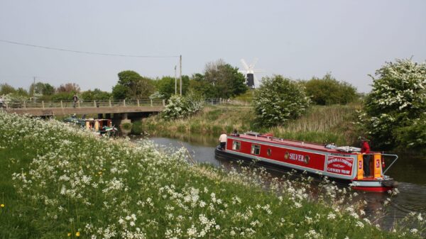
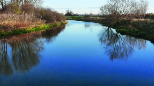
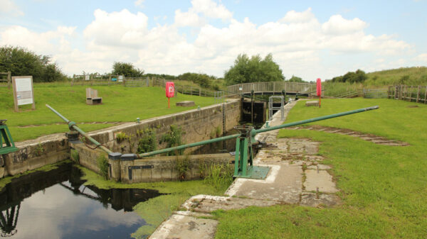
The River Welland is currently navigable is navigable for 22.3 miles (36km) from the Wash to Folly River Outfall, although the theoretical limit of navigation is 26 miles (42km) from the Wash at Deeping St James. The Stamford Canal once extended navigation up to Stamford with a section of new cut with ten locks and two more locks in Market Deeping. Completed in 1670 it substantially preceded the “Canal Age” and the Stamford Malt trade thrived with barley bought in by barge. The boats were typically fairly small, around 35ft long, carrying up to 14 tons, working in trains of four vessels. The canal closed in 1863 after the arrival of the Midland Railway and the limit of navigation became the old lock and weir at Deeping St James. A good turning point is where the Welland Bank Arm joins the river about a mile or so below the old lock. The upper part of the navigation is only suitable for light craft and canoes. The sole lock on the River Welland is the tide lock in Spalding, Fulney Lock. This is operated by the Environment Agency when the water is level on a rising tide.
The River Glen joins the tidal River Welland at Surfleet Sluice, also operated by the Environment Agency, and is navigable for 11.5 miles (18.5km) to Tongue End and the junction with the now unnavigable Bourne Eau. The Fens Waterways Link project involves both the Rivers Glen and Welland as part of a new navigable link between Boston and Peterborough. A new lock will be required to replace Surfleet Sluice.
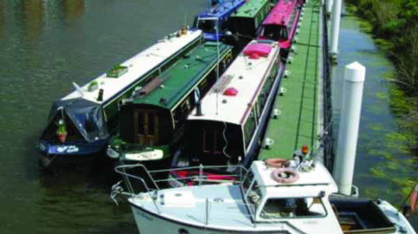
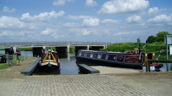
[The photo shows boats moored by the slipway at Fens Bridge, Crowland.]


