About Chelmsford’s Waterways
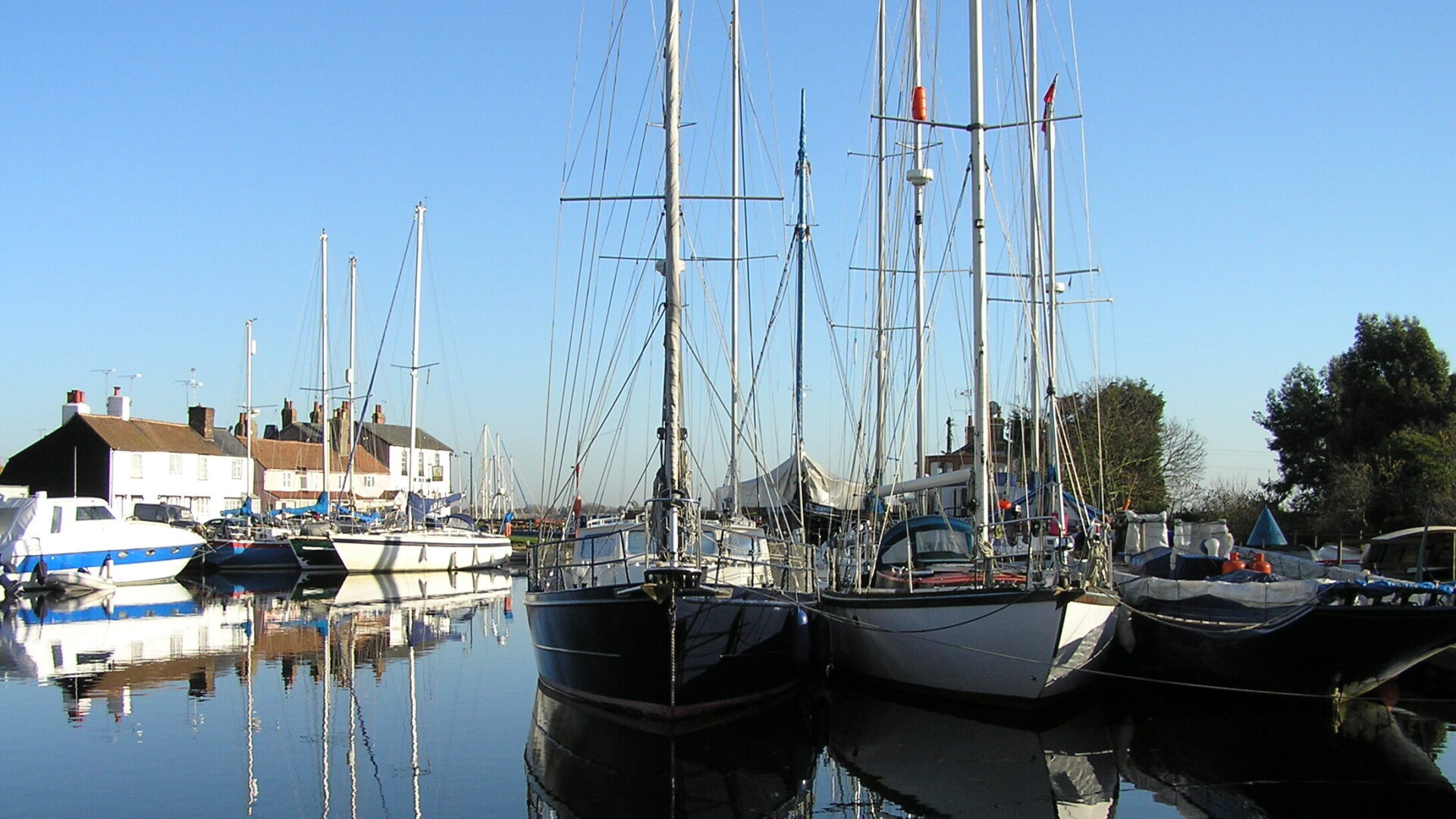
The Chelmer & Blackwater Navigation runs through a largely unspoilt part of rural Essex and connects the county town of Chelmsford with the tidal estuary of the River Blackwater at Heybridge Basin. It is 13.8 miles (22.1 km) long and has 13 locks.
Although the first scheme to make the River Chelmer navigable between Chelmsford and Maldon was proposed in 1677, it and subsequent proposals were blocked by the millers and landowners who feared loss of trade at the port of Maldon. The Navigation only succeeded when it was decided to bypass Maldon with a sea connection at Colliers Reach, and the village of Heybridge Basin was established. The Navigation finally opened in 1797 and was successful. The majority of the Navigation is the canalisation of the river Chelmer; however the last portion to Heybridge Basin is artificial cut, leaving the river at the confluence with the River Blackwater at Beeleigh Falls. The Navigation crosses the Blackwater with a weir to retain the water; Beeleigh Flood lock is now fitted with only one set of gates as navigation during times of high water is no longer required; this stops flood water entering the channel to Heybridge Basin,. Hence although there are 13 locks, only 12 are operational.
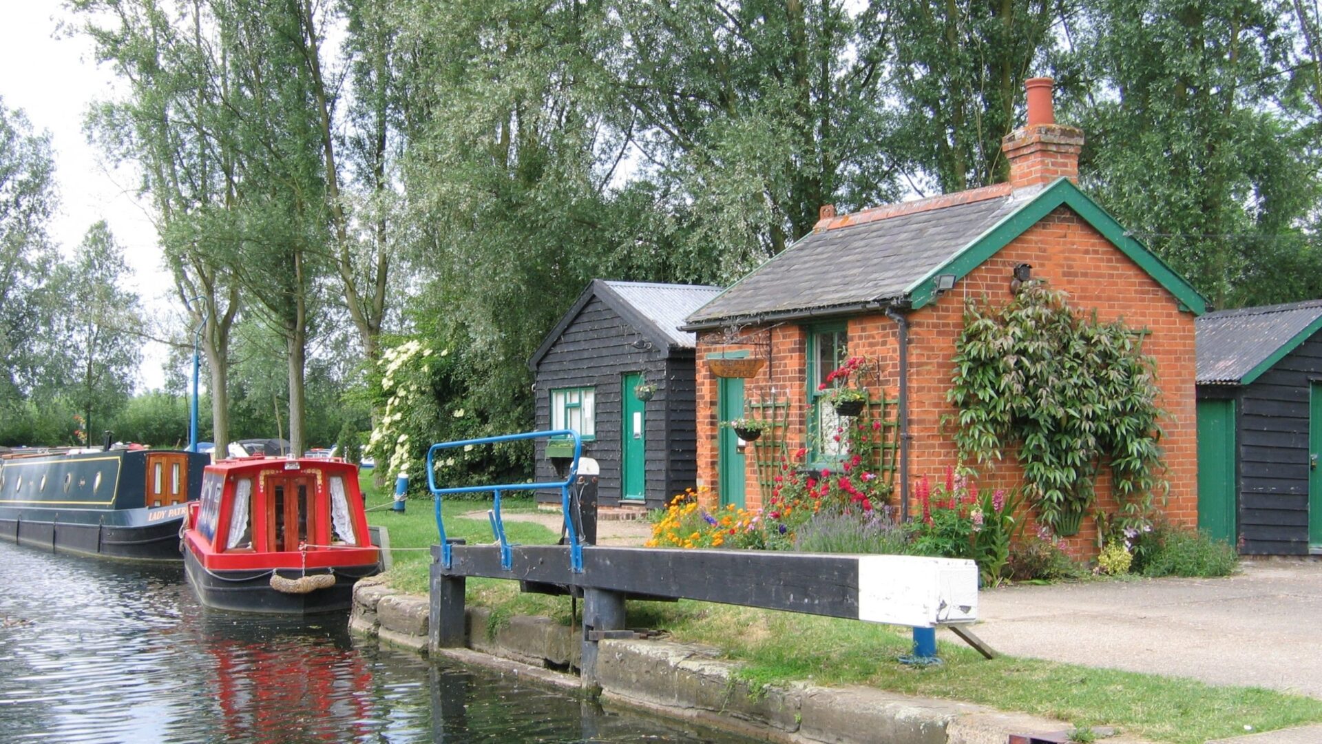
The last commercial traffic was in 1972; timber, transhipped in Heybridge Basin, carried to a timber yard in Springfield Basin. The navigation has long been associated with the timber trade; when traffic started to decline, the Proprietors planted willow trees that are still harvested today to make cricket bats. Pleasure boats were allowed full use of the navigation from 1975; before this they had been prohibited use of the locks. When the timber traffic ceased, Springfield Lock and the cut above it, to Springfield Basin became disused. IWA Chelmsford Branch launched a campaign to restore the lock, funded all the costs of restoration, carried out the work with volunteer work parties, and persuaded the then National Rivers Authority to dredge the cut to improve flood defences, and Essex Wildlife Trust to provide the timber for new lock gates. The lock, cut and Springfield Basin were re-opened in 1993 at an IWA National Trailboat Festival.
IWA was instrumental in saving the Navigation from being abandoned when the Navigation Company got into financial difficulties and went into administration in 2003. The Navigation is now managed by Essex Waterways Ltd, formed by IWA as a subsidiary company, and transferred to Essex Waterways Navigation Trust in March 2025. IWA Chelmsford Branch is currently campaigning to extend navigation through the city of Chelmsford along the rivers Chelmer and Can.
[Photo by Roy Chandler (c) shows Springfield Basin during a rally of boats]