About the Lancaster Canal
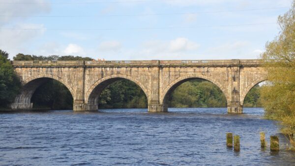
The first part of the Lancaster Canal to open was from old Ashton Basin in Preston to Tewitfield in 1797, a distance of 42 ¼ miles. The northern section to Canal Head in Kendal, with 8 locks at Tewitfield, was not completed until 1819 making the canal 57.0 miles (91.8 km) long. The Lancaster Canal was originally intended to link Kendal with Westhoughton, northwest of Manchester. Two isolated sections of canal were built but the linking portion with an aqueduct over the River Ribble was never finalised. As a temporary measure a tramway with three steam powered inclines linked the two sections. This became a permanent arrangement and when the tramway was abandoned in 1864 the isolated southern section was incorporated into the Leeds and Liverpool Canal.
The Lancaster Canal remained separated from the main network until Britain’s newest waterway, the Millennium Ribble Link, was opened in 2002.
At present, the northern reaches of the canal from Tewitfield to Kendal are derelict with restoration proposed. About a miles of canal in Preston is also derelict and not proposed for restoration.
There is a branch to Glasson plus a tidal sea lock. The Ribble Link joins the main line 1.5 miles (2.4km) out of Preston, and connects to the Ribble Estuary, and then to the connected national network via the river Douglas and Rufford Branch of the Leeds & Liverpool Canal.
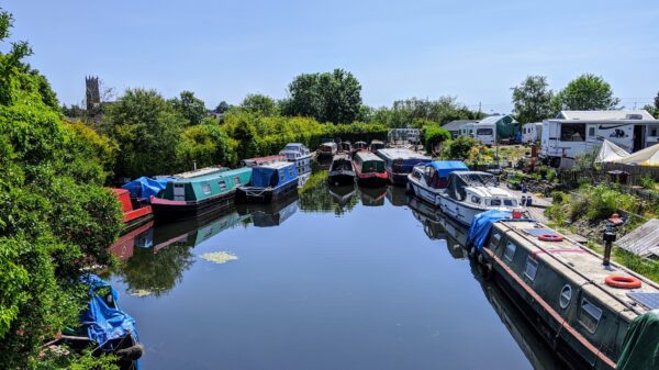
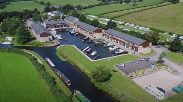
[The photo shows Tewitfield Marina, at the northern end of the navigable Lancaster Canal – by Nigel Hardacre]


