account arrow-down arrow-left arrow-right closecontact-us emailFacebookheart instagramjoin linkedin phonepinterestplaysearch twitteryoutube

Worcester Heritage Walk

This heritage walk takes you from the centre of the City of Worcester along a short length of the River Severn, through Diglis Docks and along the Worcester & Birmingham Canal as far as the Perdiswell Park.

Walk

Branch
IWA Birmingham, Black Country & Worcestershire Branch
Location

Worcester

Distance

5.5km (3.5 miles)

Ease

Active

activity image

The River Severn was one of the most important industrial arteries of this Country. It was once navigated by trows from Gloucester Docks and the Severn Estuary to Pool Quay near Welshpool in good conditions.

As canals such as the Worcester & Birmingham were completed, they provided links for exporting products from the industrial Midlands via the Severn. It prospered in the late eighteenth century with coal from Madeley and Broseley to the Droitwich saltworks and to other industries.


Walk Details

Parking

You can park at Perdiswell Leisure Centre, Bilford Road WR3 8DX from where there is a good bus service to Worcester Crown shopping centre. The walk back to the Leisure Centre is approximately 3.5 miles.

During IWA Festival of Water, please park at the festival site using the entrance off Droitwich Road/A38.

Circular walk option

The walk can be extended into a circular route of approximately 6 miles.

Download the walk

You can follow the walk on your smart phone below – or download a PDF version.

Worcester Heritage Walk Map

Find directions to the Activity

Begin The Route

1. Worcester Bridge and River Severn

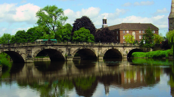
Start your walk at Worcester Bridge from where there are fine views of the river running south through Worcester past the cathedral and north towards the bridge for the original Hereford & Worcester Railway and beyond it the Sabrina Footbridge, a cable stay structure dating from 1992. Worcester Bridge was originally built by John Gwynne in 1781 and reconstructed in 1930 – the parapet displays some interesting plaques. The size of the barges forming the last significant trade on the river (an oil supply from Sharpness to Stourport operating between 1930 and the early ’70s) was limited by these arches.

2. The walk to the Cathedral

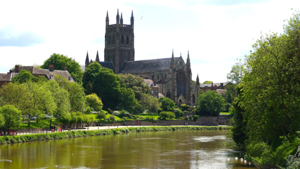
Continue along the river. The attractive riverside walk passes well converted warehouses with fine views of the river on its way towards Worcester Cathedral.


The Watergate

The Watergate gives access to the cathedral grounds.

The stonework shows high water marks from many years of flooding from 1672 to the highest level in March 1947.

From here it is possible to visit Worcester Cathedral, built between 1084 and 1504 and incorporating every architectural style from Norman to Gothic.

3. Houses along the River Towpath

As you pass the row of attractive riverside terrace houses, note the flood levels.

Head towards Diglis Hotel, once the home of the landscape artist Benjamin Williams Leader, then continue towards the locks.


4. Diglis Locks

Cross the bridge below the bottom lock and walk up the two 18ft-wide Diglis Barge Locks, which allowed large river craft into the basins and subsequently gave access to smaller boats onto the Worcester & Birmingham Canal.

There is a well-used dry-dock alongside the top lock and opposite is an attractive range of dock buildings.


5. Diversion to the oil terminus basin

Continue along the river past the locks towards the river lock.

This path crosses the entrance to the ‘oil basin’, now deserted but which once handled timber, as well as the oil trade coming from Sharpness Docks.

A little beyond here are Diglis river locks; the weir can be seen on the other side of the island, with the new fish-pass, which can be visited from the opposite bank. Beyond the locks is the latest crossing of the Severn built in 2010 – a stylish cable stay footbridge that links to Wick on the St John’s side of the river.


6. Diglis Basins

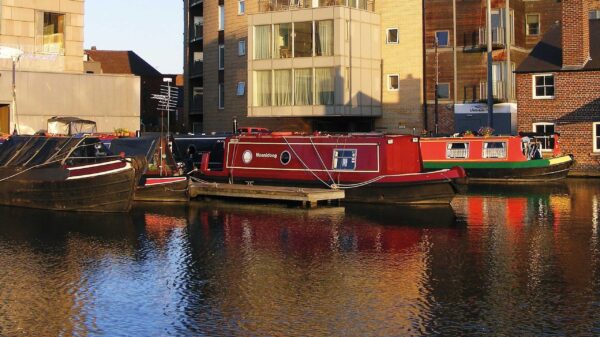
Turn back and head to Diglis Basins. It is worth spending time exploring this area and its wide variety of river and canal boats, interesting dock buildings and opportunities for refreshments.

When the canal opened in 1815, Pickford’s provided the road transport connection for goods in their horse-drawn wagons. Henry Webb & Co, a chemical manure works, operated here using barge and narrowboat transport. The redevelopment of the basins carried out from 2005 included transforming the main basin into a marina. It is here that Spry, probably the last Severn Trow, was rescued from a watery end and restored to take up to the Ironbridge Gorge Museum’s Blists Hill Victorian Town, where it can still be seen.


7. Royal Porcelain Works

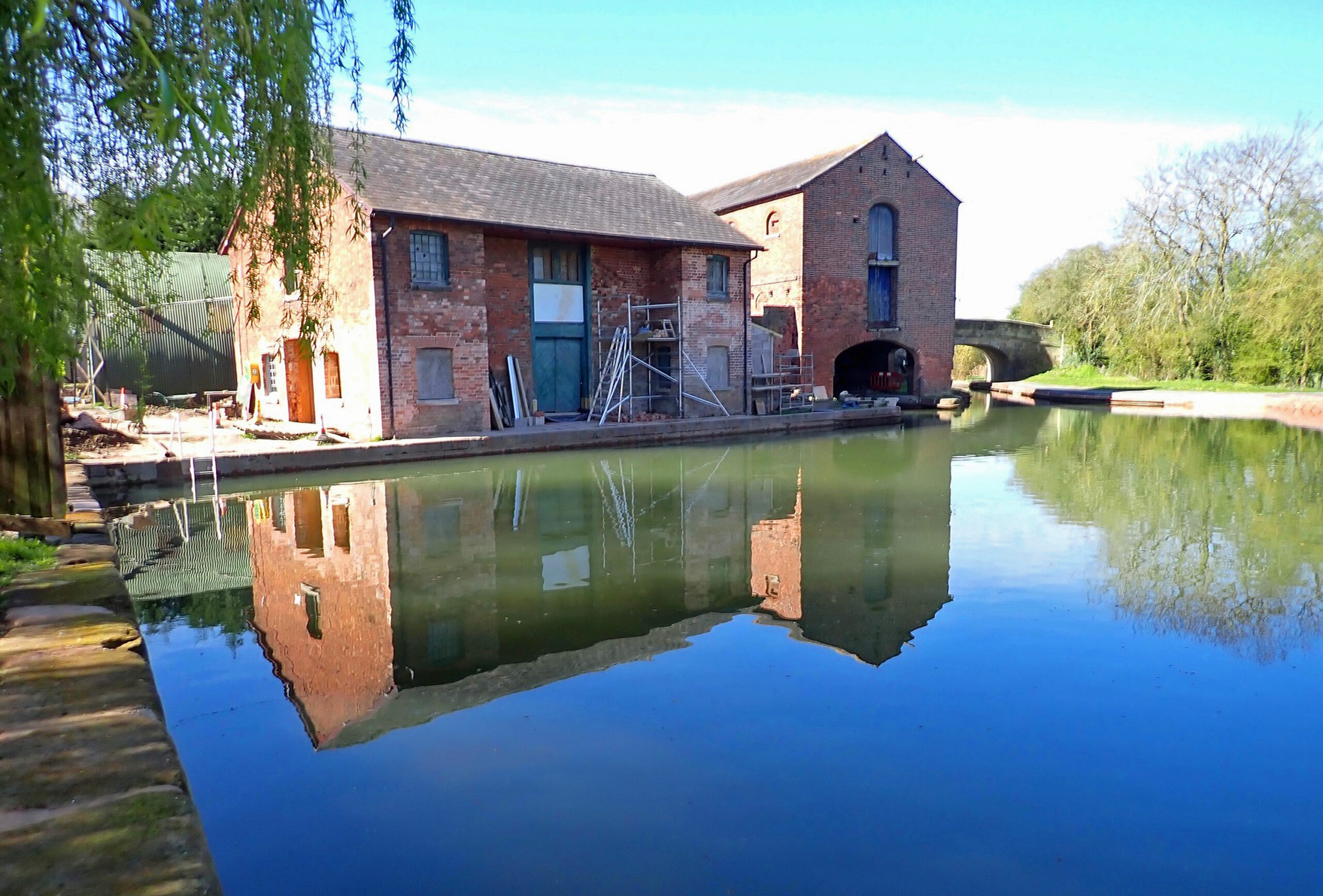
Head along the Worcester & Birmingham Canal and you’ll see the Royal Porcelain Works on the opposite side, originally a more extensive site remembered by the name on the flats.

The last cargo to use this canal up to 1961 was ‘chocolate crumb’ heading for the Cadbury factory at Bournville.


8. Sidbury Gate – Site of The Battle of Worcester

The next bridge takes us back to the precanal history of Worcester.

A plaque on the parapet wall marks the Sidbury Gate of the City and the site of the last battle of the Civil War fought on 3rd September 1651.

An artwork with pikes and helmets on the bridge indicates the spot to those passing by boat.


9. The Commandery

Alongside Sidbury Lock, the first narrow one on the Worcester & Birmingham, is the Commandery. The history of the building goes back to the 13th century but it is best known as the headquarters of Charles Stuart (later Charles II) in 1651 prior to the Battle of Worcester. It is now a major museum of the Civil War and is also a good opportunity for refreshments during opening hours.

If historic buildings are of interest, it is but a short walk into the town to Greyfriars’ House on Friar Street, a 15th-century property now under the care of the National Trust. There are collections of treasures from the Matley-Moore family; but check the National Trust before you visit. From there, take Union Street and Carden Street to find your way back to the towpath.

10. Outskirts of Worcester

Continuing along the canal and past Blockhouse Lock (the last for a while), you’ll encounter urban surroundings with terraced housing giving way to commercial and industrial property.


Shrub Hill Station

Between bridges 5 (George Street) and 6 (Cromwell Street) there are views of Worcester Shrub Hill railway station, a fine building designed by Edward Wilson in 1865 and part listed.


11. Railway Viaduct & Lowesmoor Basin

Leave the towpath at Bridge 9 (Rainbow Hill) for an impressive view of the railway viaduct, and continue down Westbury Street from where you can see Lowesmoor Basin, an important terminus for the canal company prior to the construction of Diglis Basins, and rejoin the canal.

Most of the original wharves have been filled in but this site is still active with a hire-boat base and moorings.

On the opposite bank of the canal the remains of brick entrances to an early Gas Works retort house can be seen, reminding us of the early industrial nature of the canal.


12. Gregory’s Mill Locks

Past Lowesmoor Basin the area is noted for its 19th-century terraced housing and green open spaces. On the off-side, an area of reeds is home to a variety of wildfowl. At Gregory’s Mill locks the surroundings become more rural as the canal rises above Barbourne Brook.

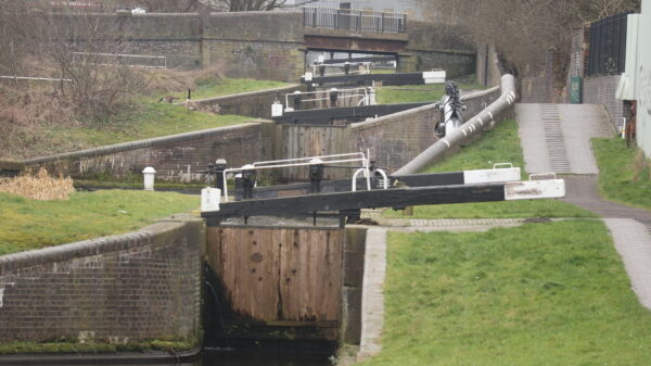
The locks show typical Worcester & Birmingham Canal paddle gear designed at a time when each canal company was independent and produced all its own lock equipment at local workshops.

Hopefully you will see a boat passing and demonstrating use of the paddles as they have been operated for the last 200 years.

13. Bilford

The two Bilford locks take us away from the City into pleasant rural surroundings. Below Bilford Top lock there is a winding hole allowing boats to turn, possibly indicating a busy section for boats.


14. Perdiswell

Perdiswell Park extends along the off-side of the canal and was the site of a World War II aerodrome.

If you continue along the towpath until Ivy Bridge (16), you can see the remains of a sentry box. Cross the canal here for access to the park, the site of the IWA Festival of Water on 28th-30th August 2021.

Alternatively, return to Bilford Road Bridge, and cross the canal to return to the Perdiswell Leisure Centre car park.


Circular walk option

This walk can be extended into a circular route of approximately 6 miles.

From Perdiswell Leisure Centre turn right along Bidford Avenue and left along Droitwich Road. At the end of this road, walk through Gheluvert Park toward the River Severn. Take the path along the River past Pitchcroft to join the main walk starting point at Worcester Bridge.

If you are travelling by train, leave Worcester Shrub Hill station and walk down Cromwell Street to join the towpath at the canal footbridge. Follow the circular route, starting at point 10.

Join us at an event nearby

Explore nearby

Related activities

Waterway underfunding

Hundreds of miles of waterways – along with their unique heritage and habitats – are currently starved of funding and rely on constant lobbying by us to safeguard their future.

Sustainable Boating

We want boating on canals and rivers to be more sustainable and – even though the current overall contribution to UK carbon emissions is very small – we want to help reduce emissions on the waterways.

Waterways Heritage at Risk

Britain’s canals and rivers are a unique, living heritage. But that heritage is at risk – from urban development, lack of protection, loss of skills and knowledge and climate change.

You can help Save Waterways Heritage.

Waterway restoration

Restoring the UK’s blue infrastructure – our inherited network of navigable canals and rivers – is good for people and places.