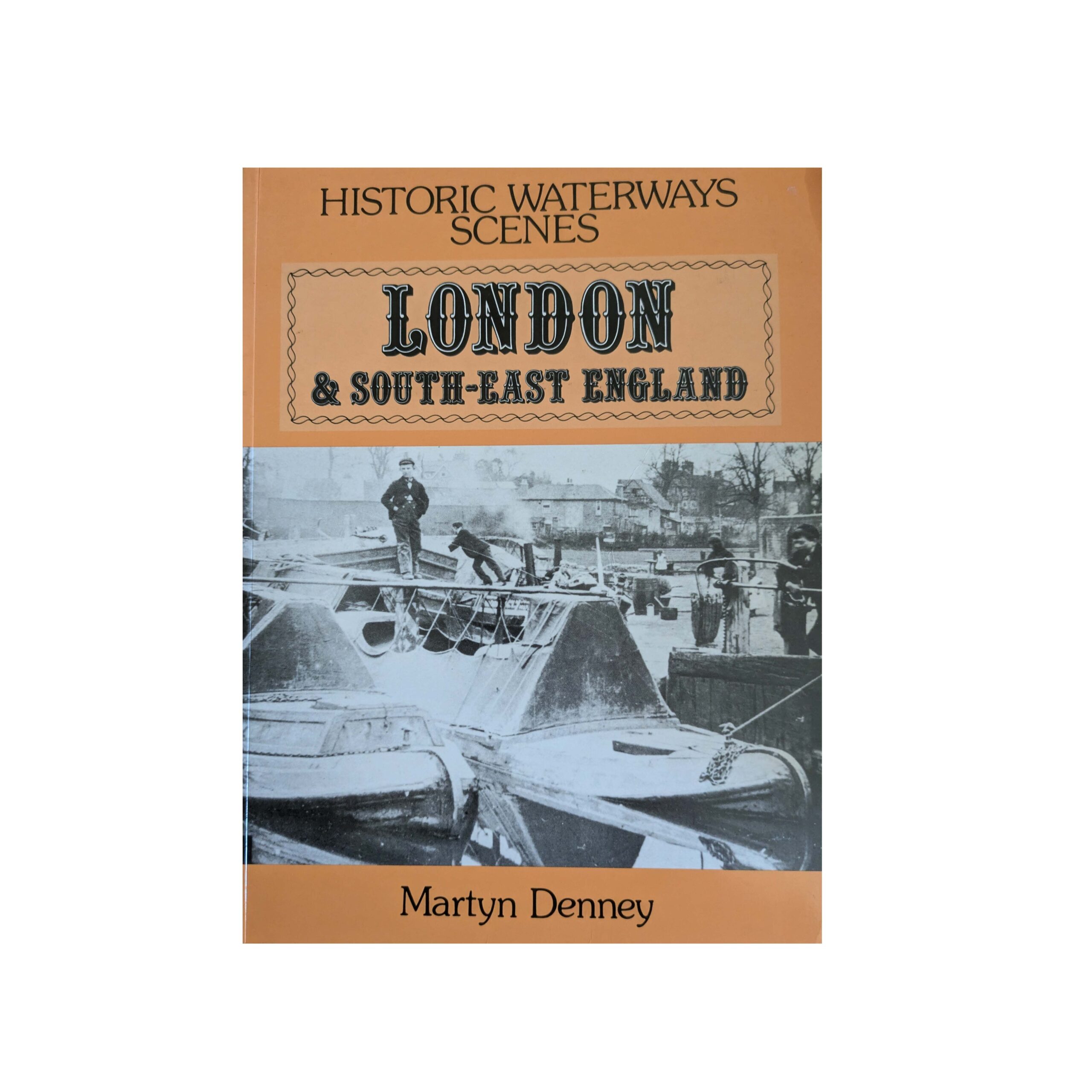
Historic Waterway Scenes – London & South East England
£9.95
This book is out of print. The copies available are second hand, in near-as-new or very good condition.
Martyn Denney uses over 1560 archive photographs to illustrate the development over many years of the inland waterways of London and South East England. Each photo is meticulously described to explain exactly what is going on and why it is an important aspect in the development of the waterways. After an introduction, the book is divided into five sections: The Thames to the Medway; the coastal waterways; the sea to the Thames; around the Thames, and; the long-distance route to the North.
Only 1 left in stock
The evolution of inland waterway transport in Britain has spanned many centuries. Just as the axe was the natural progression from the club, so the use of rivers was a natural progression from coastal and estuarial shipping. Rivers became natural highways, reaching long silvery fingers to the interior of the land. They had a profound effect on the development of communities and centres of trade. Roads were expensive to construct and costly to maintain, heavy loads often having to wait months until conditions were dry enough, and the roads therefore hard enough for them to be moved. It is of little surprise then that communities dwelling on the borders of naturally navigable rivers, being at an advantage, attained a higher standard of living and culture in then more remote settlements. In Saxon times we can see such places mentioned such as Gloucester, Tewkesbury, Bridgnorth and Shrewsbury on the Severn, London and Oxford on the Thames, Ware on the Lee, Rochester on the Medway, Peterborough on the Nene, Lincoln on the Witham, York on the Ouse, Doncaster on the Don, Cambridge on the Cam, Exeter on the Exe, Hereford on the Wye, Chester on the Dee, and many more. In time, these rivers were improved, weirs being built to maintain depth of water over shallows, and some cuts made to straighten tortuous sections.
Southeast England followed this basic pattern of development. The Thames has always been navigable, certainly in the lower reaches and possibly in the upper reaches too, likewise, the river Lee. The Danes are reported to have sailed to Hertford in AD894 and we know that they sailed 20 miles north of London to establish a Fort in AD896. They are supposed to have made Ware their base and sacked Hartford. Their further progress is reported to have been halted by King Alfred, who stranded their ships in the upper reaches, lowering the levels by dividing the Lee into three channels at King’s Weir, Cheshunt, and the constructing an embankment and weir known as the Black Wall at the entrance to the Lee from the Thames. This story is supported by the remains of Viking ships found in the river Beane near Hertford and at Stanford Stansted Abbots.
The photos in this book are of a later period than these early events, and show the rapid progress of inland waterways in southeast England and the dramatic effects they had on industry and waterside communities. This book tells the evolving story from early times, through Canal Mania through to more recent times.
Author: Martyn Denney
Binding: Softback
Published: January 1993 (first published in hardback 1980)
Pages: 124
Size: 248 x 188 mm
ISBN: 0861905083
Publisher’s Price (in 1993): £11.99