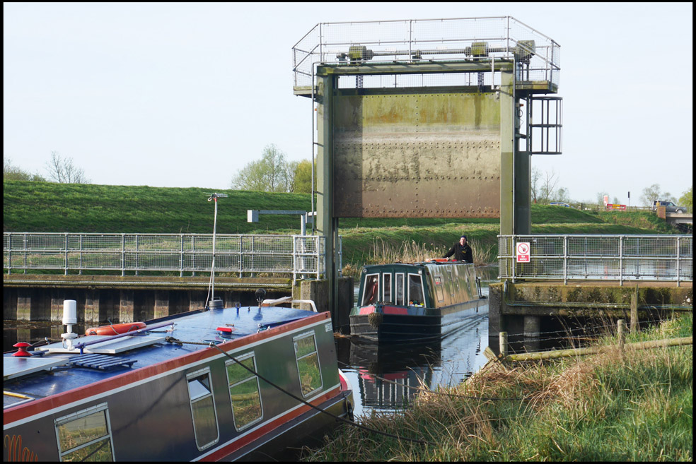
Last Month’s Mystery Photo
Hint: This is a navigable Canal & River Trust waterway – photo taken November 2025.
Answer: This is the drained winding hole at the end of the restored section of the Wendover Arm of the Grand Union Canal. The first section of the Wendover Arm to be restored, between the terminus for many years at Tring Stop Lock, through Little Tring Bridge, and to the new winding hole, was reopened in 2005 by Sir David Suchet. This work was enabled in part through fundraising by Wendover Canal Trust, and part through a large donation by IWA utilising the proceeds of a substantial bequest by Tim Wilkinson, author of the post-war canal carrying book ‘Hold on a Minute’. A small leak was identified in 2024 following notification by an adjacent landowner. CRT commissioned a report and concluded the leak would cost £300k to fix, although the report has not been made available. CRT’s response has been that fixing the leak is low priority, and so it has installed a rather permanent looking earth dam at the stop lock, drained the canal and erected some seemingly permanent wooden and mesh fencing around both sides of the drained canal for its entire section. Having spent a lot of money on fencing, CRT says it has no intention of even reviewing the matter until at least 2027, despite strong protests from IWA and Wendover Canal Trust.
Location correctly guessed by: Jeffrey Abrams, Chris Colborne, Rodney Hardwick, John Hawkins, Simon Judge, Tim Lewis, Dorne Lumber, Nick Parker, Neville Reeves, Phil Reilly, Rupert Smedley, Dave Turner, Michael Wright and Ric Zanelli


