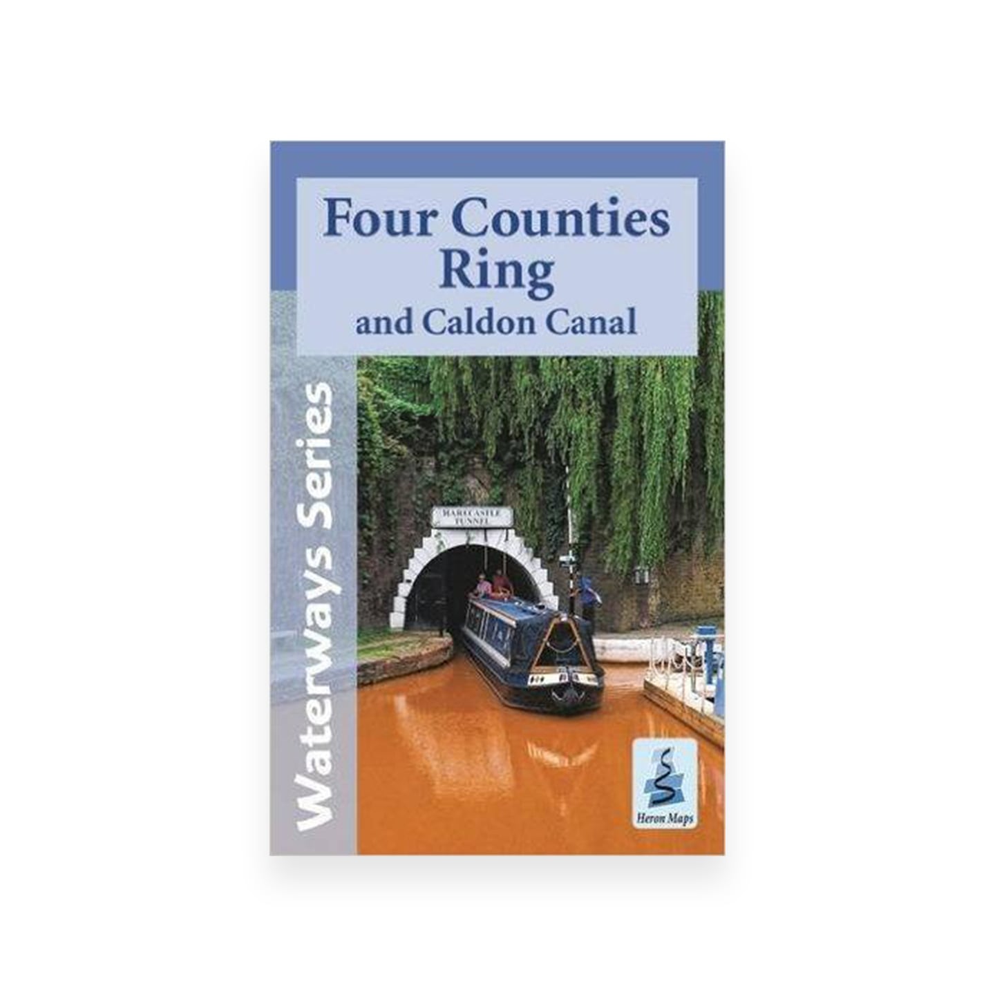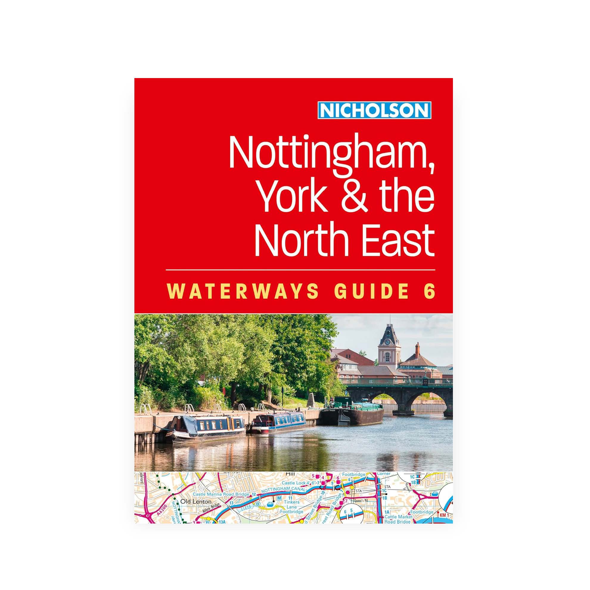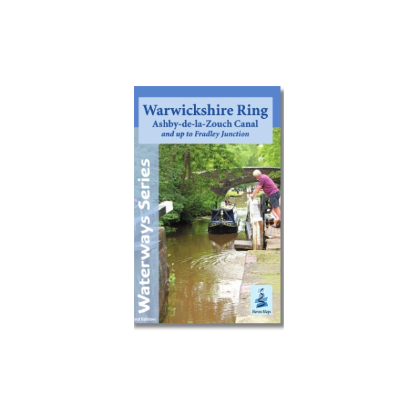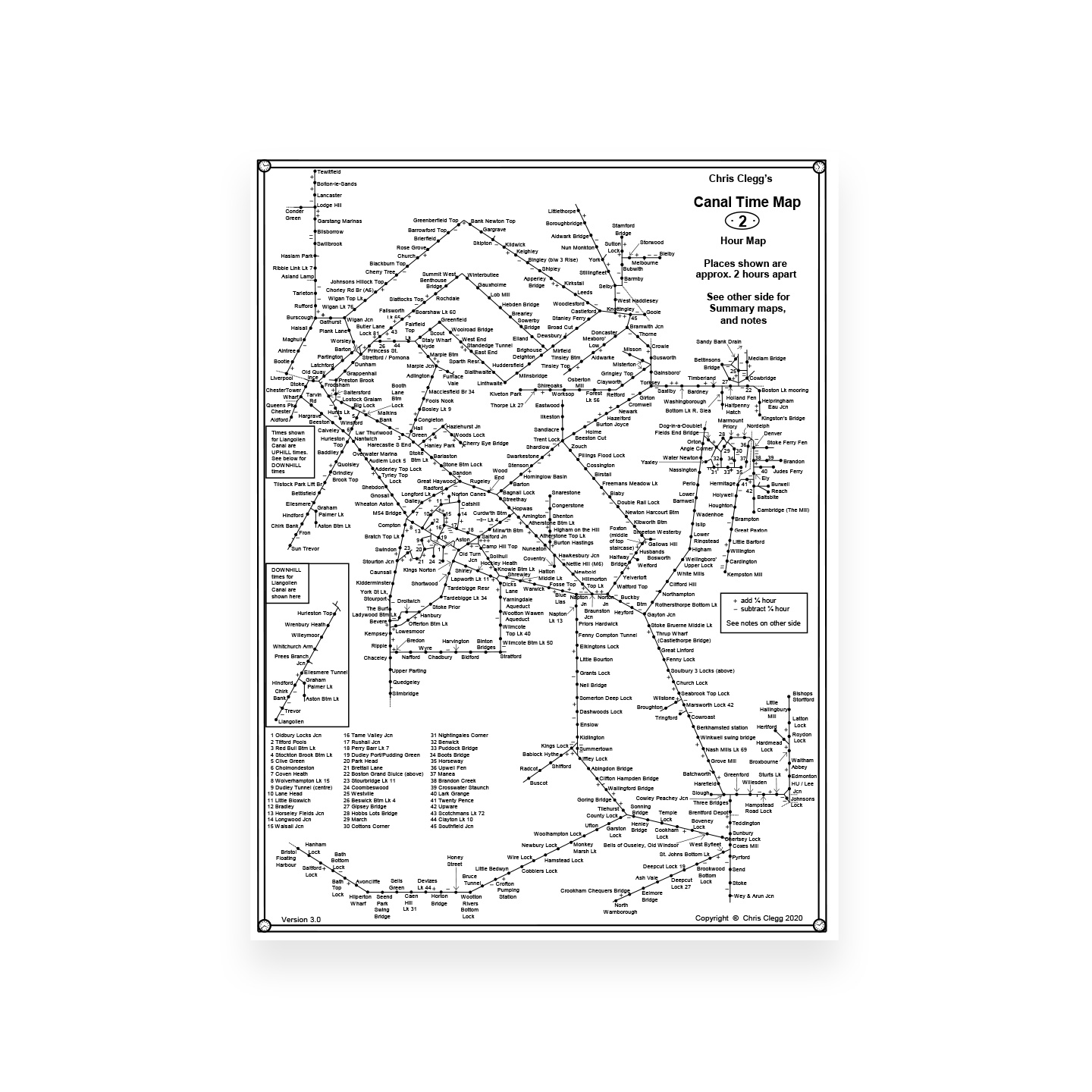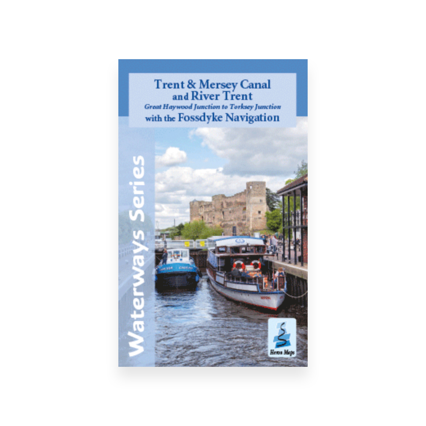
Trent & Mersey Canal and River Trent (Heron)
£6.50
A full colour map featuring the Trent and Mersey Canal, the River Trent and the Fossdyke Navigation, suitable for both waterways and leisure users.
This map gives detailed coverage of the Trent and Mersey Canal and River Trent from Great Haywood Junction to Torksey Junction, with the Fossdyke Navigation, with emphasis on the waterways and information useful and relevant to users of the waterways without neglecting other leisure users. The map detail is complimented by information panels and photographs.
Only 1 left in stock
This map starts in Weston, Staffordshire just above Great Haywood Junction where the Staffordshire & Worcestershire Canal meets the Trent & Mersey Canal. It then heads south eastwards towards Fradley Junction, where it meets the Coventry Canal.
The canal heads north eastwards, passing through Burton upon Trent, a town with a rich brewing tradition. From Burton to the Upper Trent at Shardlow the canal is suitable for wide beam craft.
The river continues on to Long Eaton and Trent Lock, a waterways intersection. Turn south for the River Soar or north for the Erewash Canal. The Trent continues onwards until the navigable route leaves the Trent at Beeston Lock and heads along the Beeston and Nottingham Canals into the heart of Nottingham, before rejoining the Trent at Trent Bridge. The river leaves the city and continues to wind its way north eastwards towards Newark-On-Trent.
Shortly after Newark-On-Trent is Cromwell Lock where the river becomes tidal. A further 15 miles and it reaches Torksey Junction. From here the Trent continues on to Gainsborough and eventually meets the River Humber at Trent Falls. The map heads south eastwards through Torksey Lock and on to the Fossdyke Navigation. Once through the lock it’s 11 miles of lock free cruising along a waterway originally built by the Romans, into the heart of historic Lincoln.
A tourist map of the Trent and Mersey Canal and River Trent with the Fossdyke Navigation at 1:50,000, with detailed town plans of Rugeley, Burton upon Trent, Willington, Nottingham, Newark-on-Trent and Lincoln at 1:12,500.
Includes navigation and historical information, visitor moorings, marinas and boatyards, boat hire centres, facilities for the boat user, shops and distance markers. Information for the tourist includes tourist information centres, places of interest, pubs, nature reserves, parks, churches, long distance paths, public toilets and caravan and camp sites. Click here to see the area covered by this map.
Author: Heron Maps
Binding: Softback
Published: July 2022
Pages: 2 (double-sided)
Size: 220 x 136 mm
ISBN: 1908851208