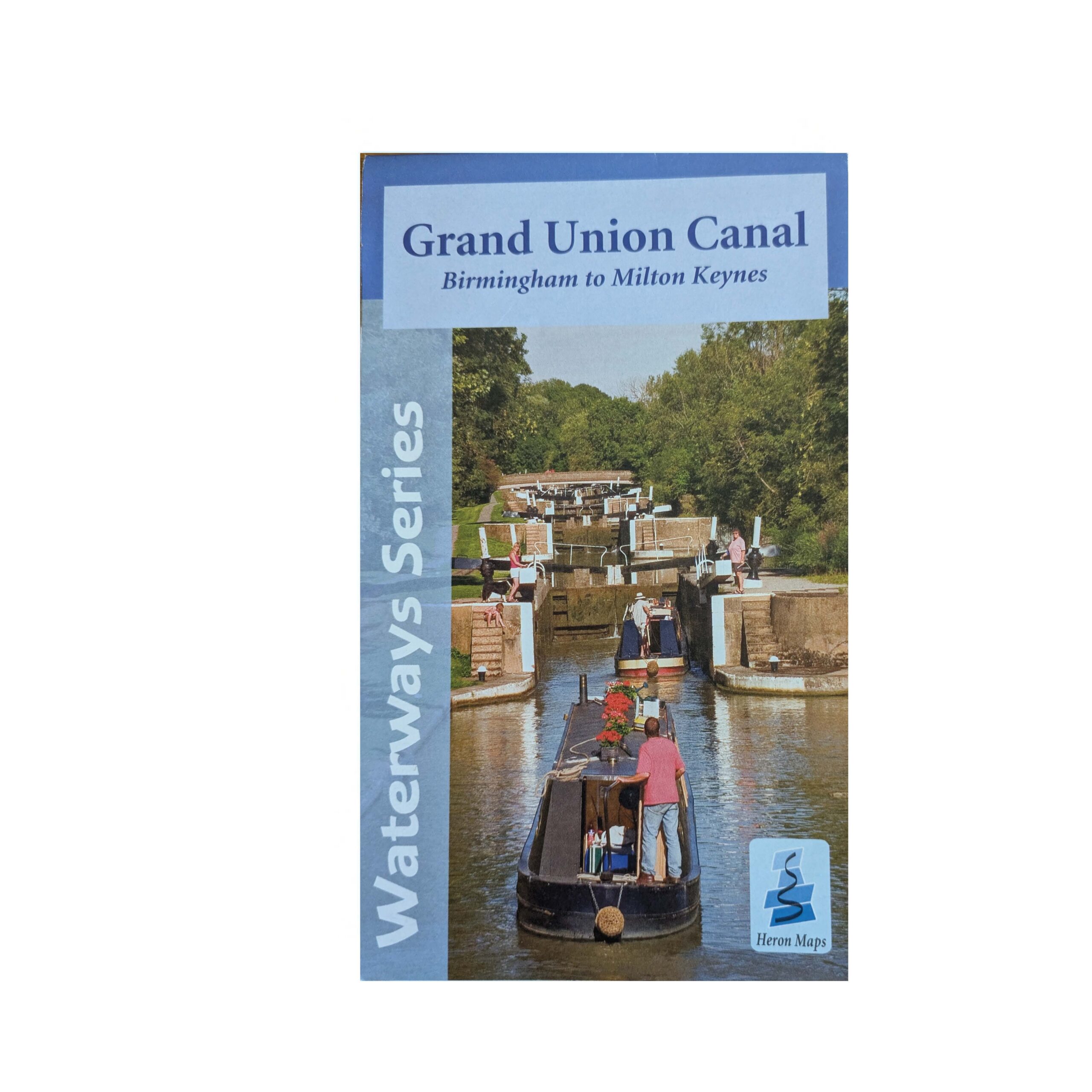
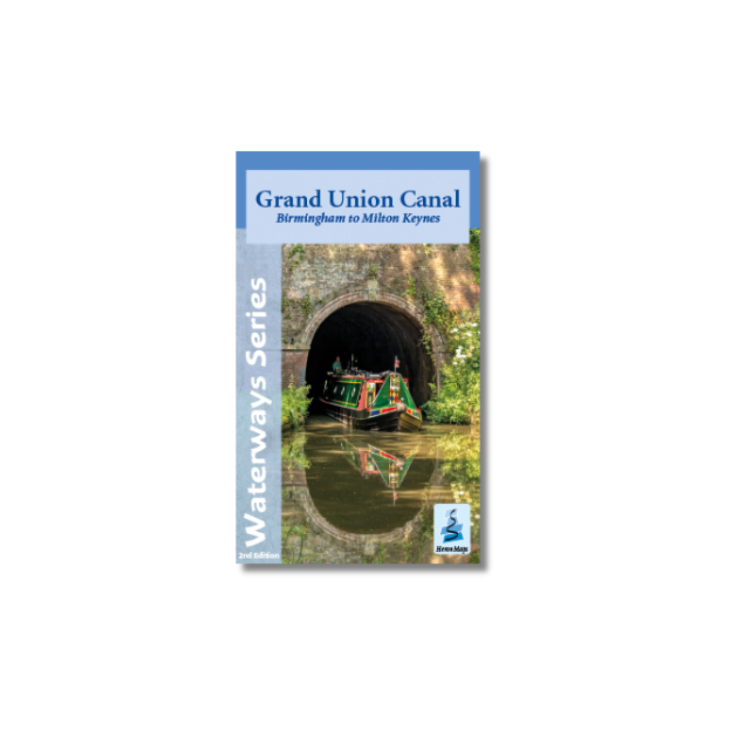
Grand Union Canal: Birmingham to Milton Keynes Map (Heron) – 1st Edition
Original price was: £5.99.£3.50Current price is: £3.50.
A full colour map of the Grand Union Canal from Birmingham to Milton Keynes suitable for both waterways and leisure users.
This map gives detailed coverage of the Grand Union Canal from Birmingham to Milton Keynes with emphasis on the waterways and information useful and relevant to users of the waterways without neglecting other leisure users. The map detail is complimented by information panels and photographs.
Only 1 left in stock
The Grand Union Canal is Britain’s longest canal, running 137 miles from London to Birmingham. This map covers the western end from Birmingham to Milton Keynes, a largely rural and peaceful route through Warwickshire and Northamptonshire. It includes the Northampton Arm and start of the Leicester Line. A route that starts in the very heart of Birmingham, heading out through the suburbs before turning south towards historic Warwick and the Georgian edifices of Royal Leamington Spa. Onwards to Braunston, Weedon Bec, Blisworth and Stoke Bruerne and its canal museum, before arriving in Milton Keynes. Much of the route through the city hidden by the greenery of parklands.
This tourist map is at 1:50000 scale with an enlarged plan of Birmingham at 1:30000 and detailed town plans of Warwick, Braunston, Weedon Bec, Stoke Bruerne at 1:12500 as well as Kingswood and the Lapworth Link to the Stratford-upon-Avon Canal. An additional plan of the heart of Birmingham at 1:10000 is included, as is the Grand Union Canal Walk, Britain’s first national waterways walk. Click here to see area covered by this map.
Includes navigation and historical information, visitor moorings, marinas and boatyards, boat hire centres, facilities for the boat user, shops, post offices and distance markers. Information for the tourist includes tourist information centres, places of interest, pubs, nature reserves, parks, churches, national cycle routes, long distance paths, public toilets and caravan and camp sites.
Author: Heron Maps
Binding: Softback
Published: May 2013 (1st edition)
Pages: 2 (double-sided)
Size: 220 x 130 mm
ISBN: 1908851024
Related products
- SALE

Grand Union, Stoke Bruerne to Leicester, River Soar & Erewash Canal Map (Heron) – Original 2014 edition
Original price was: £5.99.£3.50Current price is: £3.50. Add to basket -
Nicholson Guide No 6 – Nottingham, York and the North East
£16.99 Add to basket -
Heron Map – River Thames and the Thames Path
£5.99 Add to basket -
Nicholson Guide No7 – River Thames and the Southern Waterways
£16.99 Read more