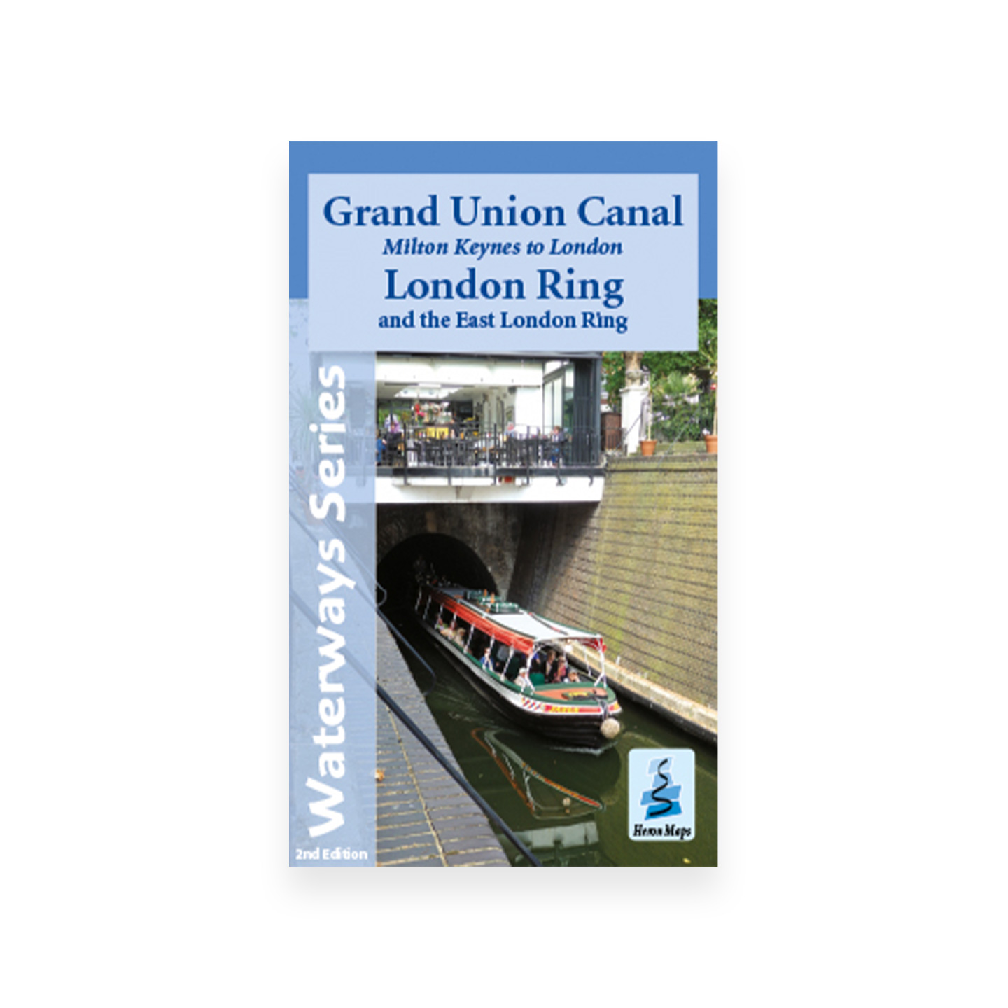
Milton Keynes to London, London Ring and the East London Ring Map (Heron)
£6.95
A full colour Heron map of the Grand Union Canal from Milton Keynes to London, including the London and East London Rings.
In stock
A full colour map of the Grand Union Canal from Milton Keynes to London, including the London and East London Rings suitable for both waterways and leisure users.
This map is at 1:50000 scale with detailed town plans of Milton Keynes, Fenny Stratford, Aylesbury, Marsworth, Berkhamsted, Rickmansworth, Little Venice and Paddington, and Camden Town at 1:12500 scale, as well as showing the Grand Union Canal Walk, Britain’s first national waterways walk.
Includes navigation and historical information, visitor moorings, marinas and boatyards, boat hire centres, facilities for the boat user, shops, post offices and distance markers. Information for the tourist includes tourist information centres, places of interest, pubs, nature reserves, parks, churches, national cycle routes, long distance paths, public toilets and caravan and camp sites.
Related products
-

The River Thames Book 8th Edition – Chris Cove-Smith (Imray)
£15.95 Add to basket - New In
Nicholson Guide No 2 – Severn, Avon and Birmingham – 2026 edition
£16.99 Read more - SALE
Grand Union, Stoke Bruerne to Leicester, River Soar & Erewash Canal Map (Heron) – Original 2014 edition
Original price was: £5.99.£3.50Current price is: £3.50. Add to basket -
The River Nene Guide – Roger Green (Imray)
£12.95 Add to basket