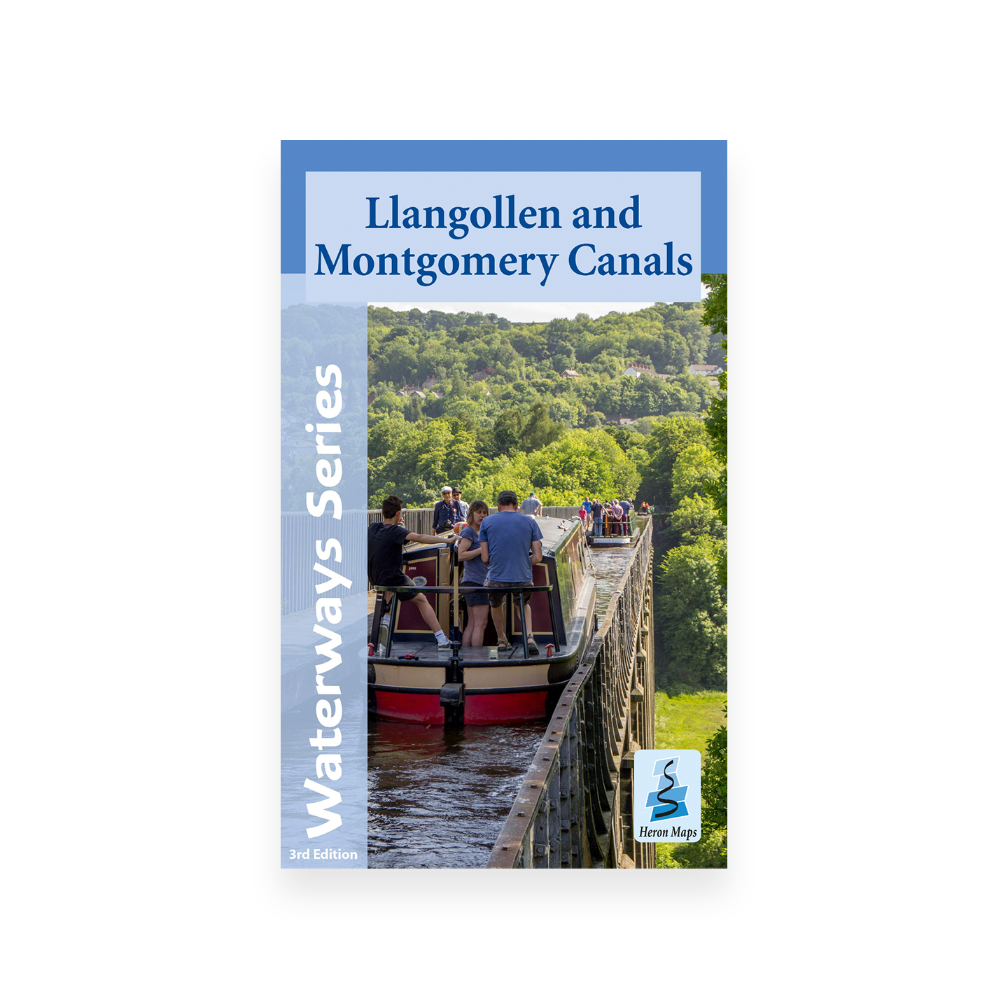
Llangollen and Montgomery Canals Map (Heron) – 3rd edition
£5.99
Tourist map of the Llangollen and Montgomery Canals.
Only 2 left in stock
Tourist map of the Llangollen and Montgomery Canals at 1:56,000, with detailed town plans at 1:12,500. Includes navigation and historical information, visitor moorings, marinas and boatyards, boat hire centres, facilities for the boat user, boat and sailing clubs, shops, post offices and distance markers.
Information includes tourist information centres, places of interest, pubs, nature reserves, parks, churches, national cycle routes, long distance paths, public toilets and caravan and campsites.