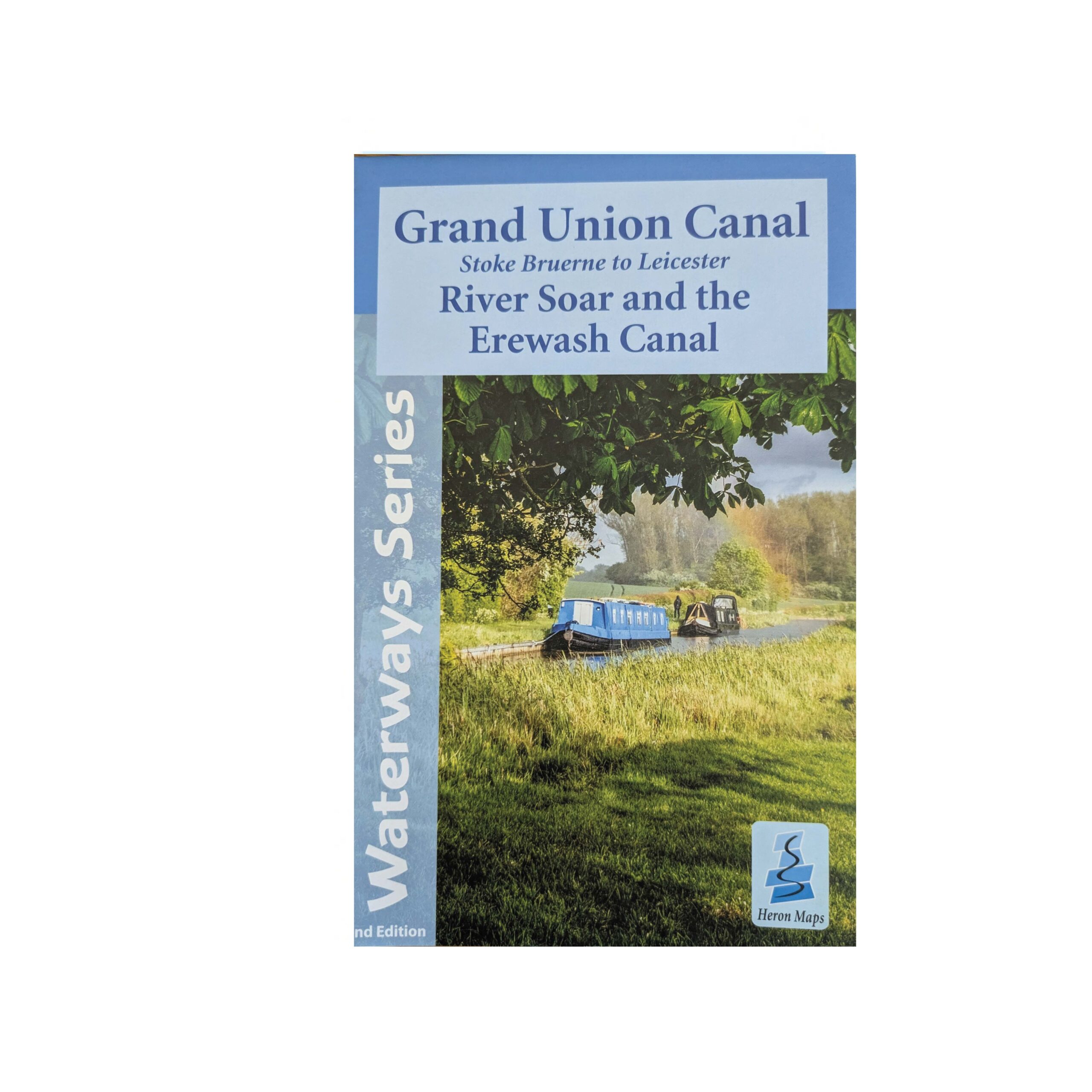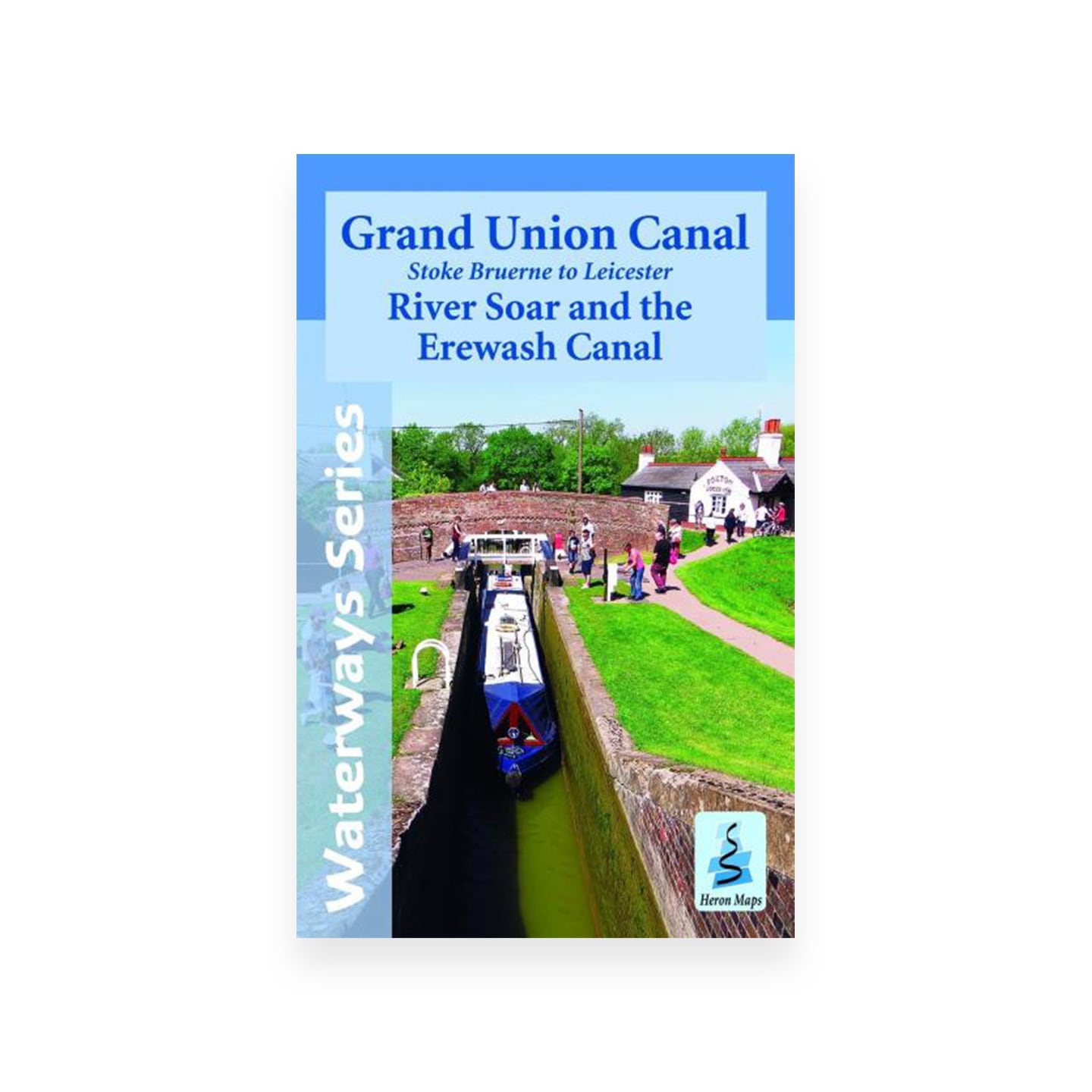
Grand Union, Stoke Bruerne to Leicester, River Soar & Erewash Canal Map (Heron) – Original 2014 edition
Original price was: £5.99.£3.50Current price is: £3.50.
A full colour map of the Grand Union Canal from Stoke Bruerne to Langley Mill suitable for both waterways and leisure users.
This map gives detailed coverage of the Grand Union Canal from Stoke Bruerne to Langley Mill with emphasis on the waterways and information useful and relevant to users of the waterways without neglecting other leisure users. The map detail is complimented by information panels and photographs.
Only 1 left in stock
The 78 mile section of the Grand Union Canal commonly referred to as the ‘Leicester Line’ leaves the mainline at Norton Junction. It then wends its way northwards through rural countryside to Leicester. Passing through 3 lengthy tunnels, 2 sets of staircase locks, the village of Crick, home to the annual Crick Boat Show and the Welford and Market Harborough Arms. At Foxton are the remains of the Inclined Plane one of the wonders of the canal world, subject of a restoration project and a museum detailing the lift, Foxton Locks, the waterways and the people who lived on them. After passing through Leicester along the ‘Mile Straight’ the canal continues its meandering path northwards to the River Trent along the River Soar skirting the university town of Loughborough. The 12 mile Erewash Canal continues northwards from the River Trent at Long Eaton to Langley Mill.
This short and under utilised canal passes several towns including Ilkeston, Sandiacre and Eastwood on the way but maintains the feel of a quiet and rural one.
This tourist map of the Grand Union Canal from Stroke Bruerne to Leicester at 1:50,000, with the River Soar and Erewash canal incorporating detailed town plans of Braunston, Weedon Bec, Stoke Bruerne, Market Harborough, Foxton, Leicester, Loughborough, Langley Mill and Eastwood at 1:12,500.
Includes navigation and historical information, visitor moorings, marinas and boatyards, boat hire centres, facilities for the boat user, shops, post offices and distance markers. Information for the tourist includes tourist information centres, places of interest, pubs, nature reserves, parks, churches, long distance paths, public toilets and caravan and camp sites. Click here to see the area covered by this map
Waterways Included:
- Grand Union Canal – Stoke Bruerne to Braunston, including Northampton Arm
- Grand Union Canal – Leicester Line, including Market Harborough and Welford arms
- River Soar Navigation
- Erewash Canal
Author: Heron Maps
Binding: Softback
Published: March 2014 (1st edition)
Pages: 2 (double-sided)
Size: 220 x 140 mm
ISBN: 1908851058