Forth & Clyde and Union Canals Map (Heron)
£6.50
A full colour map of the Forth & Clyde and Union canals in Scotland, suitable for both waterways and leisure users.
Published May 2022.
Out of stock
Forth & Clyde and Union Canals, with the Glasgow to Edinburgh Canoe Trail, Water of Leith and Kelvin Walkways
A full colour map of the Forth & Clyde and Union Canals suitable for both waterways and leisure users.
This map gives detailed coverage of the Forth & Clyde and Union Canals with the Glasgow to Edinburgh Canoe Trail, and Water of Leith and Kelvin Walkways, with emphasis on the waterways and information useful and relevant to users of the waterways without neglecting other leisure users. The map detail is complimented by information panels and photographs.
The Forth & Clyde Canal links the Irish Sea with the North Sea running from Bowling on the Clyde Estuary, to Grangemouth and the magnificent Kelpies on the Firth of Forth, providing a unique and tranquil path through some of Scotland’s most densely populated areas.
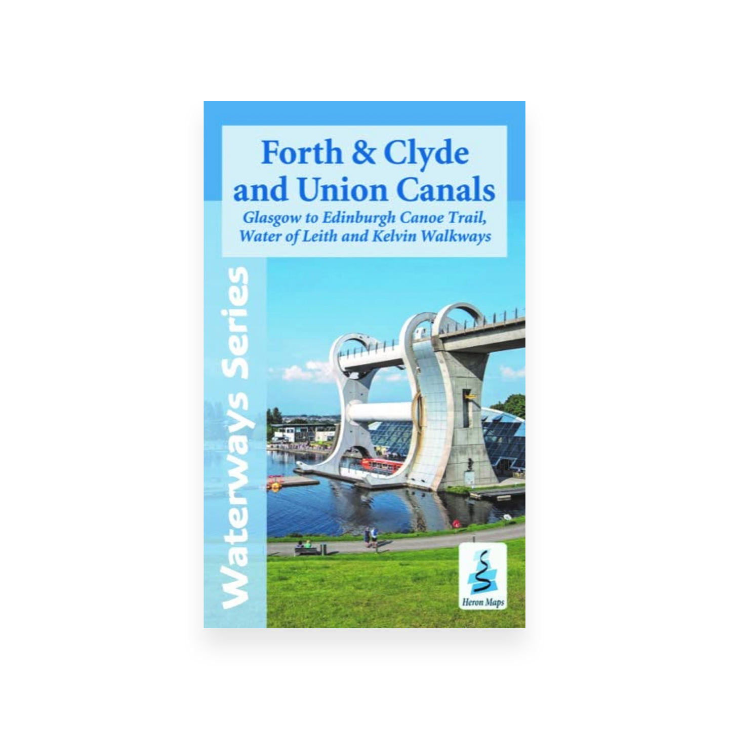
The Union Canal is bookended by two great modern developments. Linking the Union Canal to the Forth & Clyde Canal at its western end is The Falkirk Wheel, the world’s only rotating boat lift. Then at Edinburgh, the canal terminus, the new Edinburgh Quay development is taking shape as a thriving canal centre.
This tourist map is at 1:50000 with detailed town plans of Bowling, Glasgow, Kirkintilloch, Kilsyth and Auchinstarry, the area around the Falkirk Wheel,