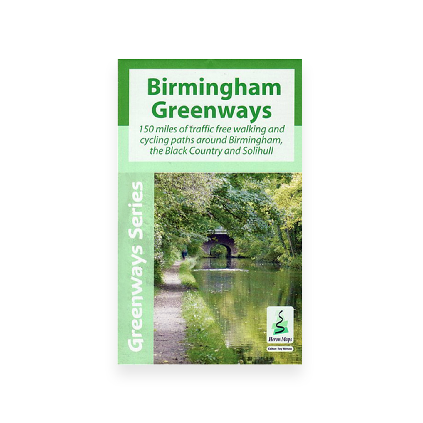
Birmingham Map (Heron – Greenway Series)
£5.99
This innovative new map gives a different perspective to Birmingham, the Black Country and Solihull. It features 150 miles of traffic free walking and cycling paths along canals, rivers.
In stock
This innovative new map gives a different perspective to Birmingham, the Black Country and Solihull. It features 150 miles of traffic free walking and cycling paths along canals, rivers, and through the 8000 acres of parks of the Birmingham plateau.
Following two years of research it is designed to appeal to a wide range of users who wish to explore the area and its fascinating industrial legacy.
Fully coloured at 1:30,000 it is ideal for tourists and all leisure users, as well as boaters who wish to explore the region away from the canals and is supplemented by information panels and photographs.
Walking: The detailed Birmingham City Plan at 1:15,000 is designed for exploring Birmingham city centre canals on foot and locating tourist attractions, art galleries, museums and shops.
Cycling: Locations of 22 new bike hire centres and 5 Brompton Docks.