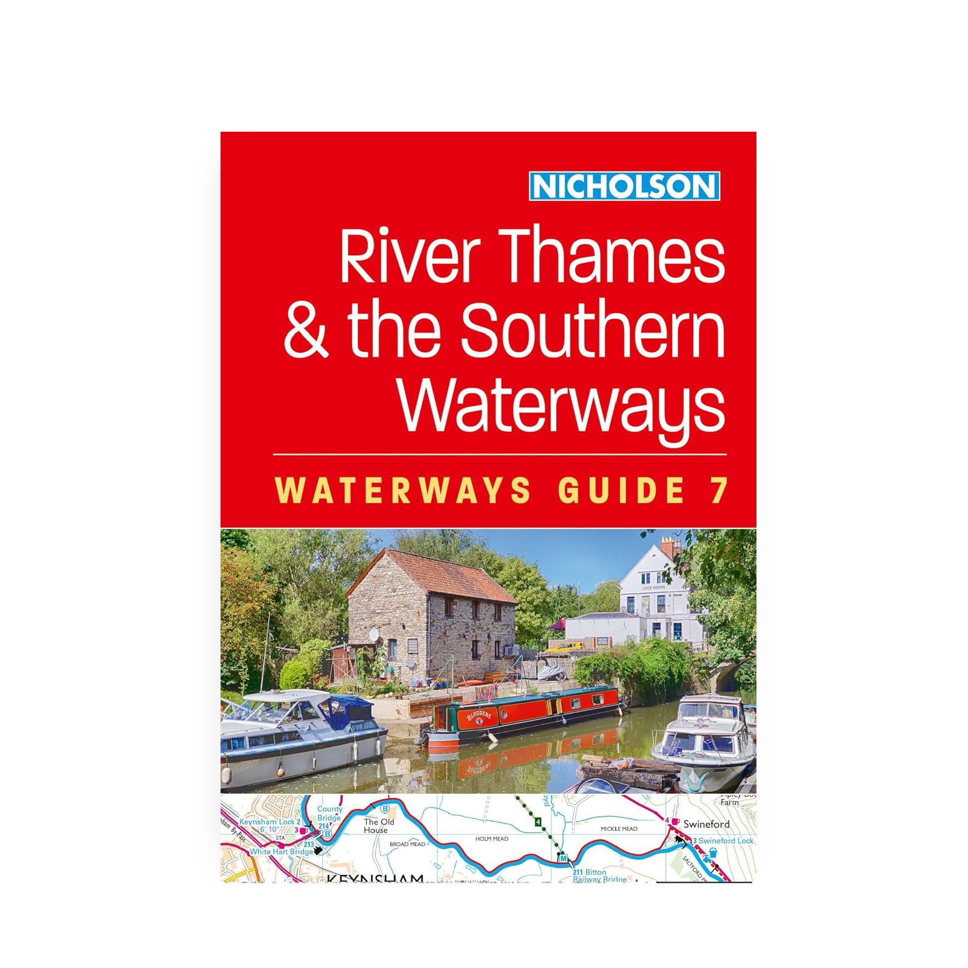
Nicholson Guide No7 – River Thames and the Southern Waterways
£16.99
The bestselling guides to Britain’s canals and rivers for 50 years.
For all users of the inland waterways including boaters, walkers, cyclists and visitors, this established, popular and practical guide covers the canals and waterways between Exeter and the River Thames.
Published February 2025.
Out of stock
Waterways covered in this guide – Basingstoke Canal, Bridgwater & Taunton Canal, Grand Western Canal, Exeter Ship Canal, Kennet & Avon Canal, River Thames, Wey & Godalming Navigations.
The up-to-date, detailed maps clearly show the location of essential features such as locks, towpaths and boating facilities, as well as pubs, shops and restaurants in the area. There are comprehensive navigational notes and descriptive text on the history of each canal, and on local services and places of interest, for which postcodes are included – ideal for use with sat-navs. Scale: 2 inches = 1 mile, 3 cm = 1 km.
This practical A5 guide features ‘lie flat’ spiral binding and ‘book mark’ back cover flap for ease of reference.
Taste in guide books can be a very personal thing, but few serious boaters will venture out without a Nicholson’s Guide. There is a wealth of information that even the most experienced cannot hope to keep abreast of, and the guides are welcome valuable for cyclists and walkers too.
232 pages.

Related products
-

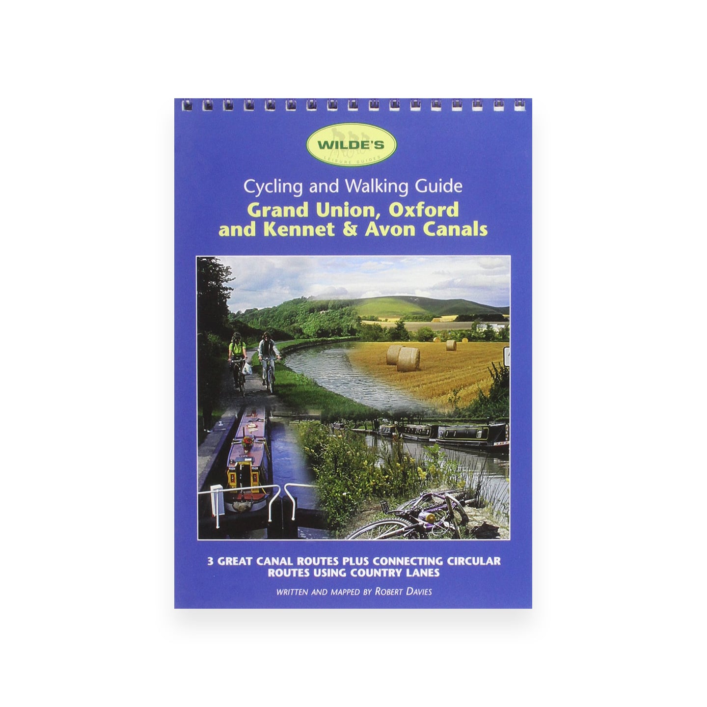
Grand Union, Oxford and Kennet & Avon Canals (Wilde’s Leisure Guides)
£2.00 Add to basket -
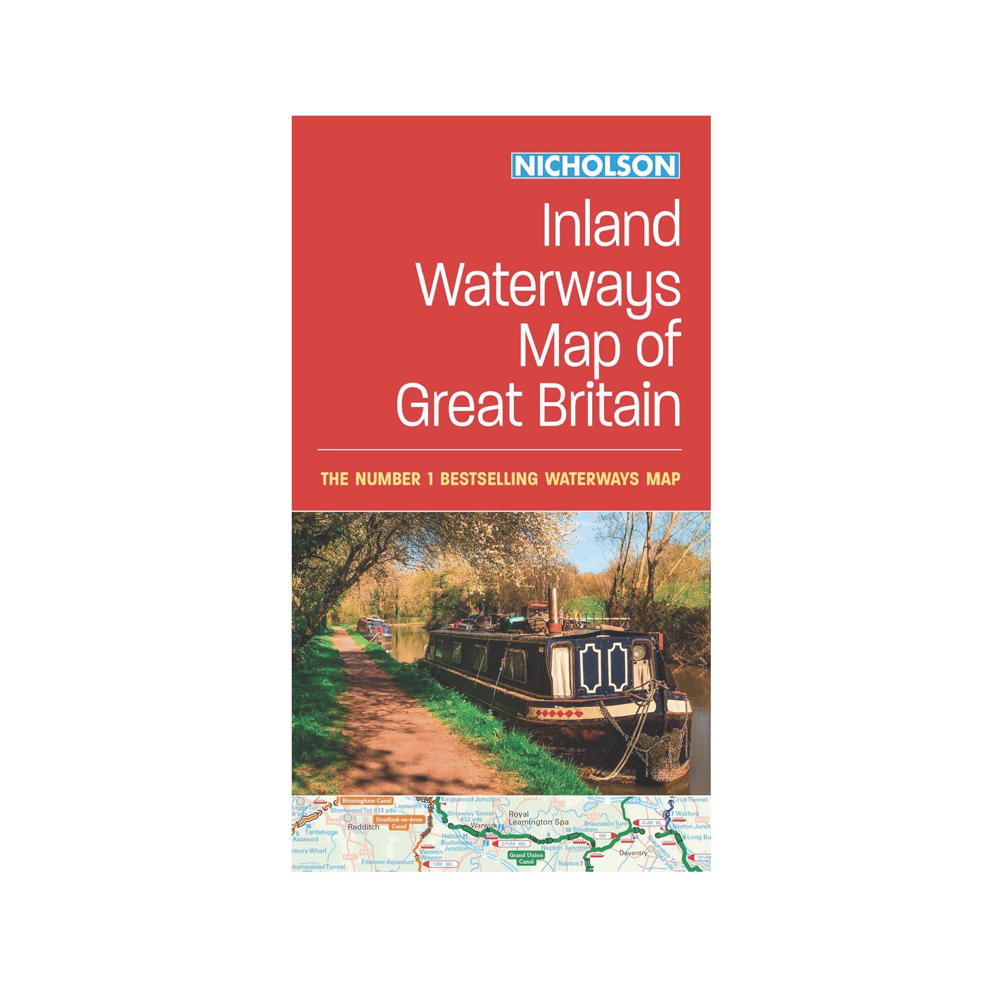
Nicholson Inland Waterways Map of Great Britain
£8.99 Add to basket -
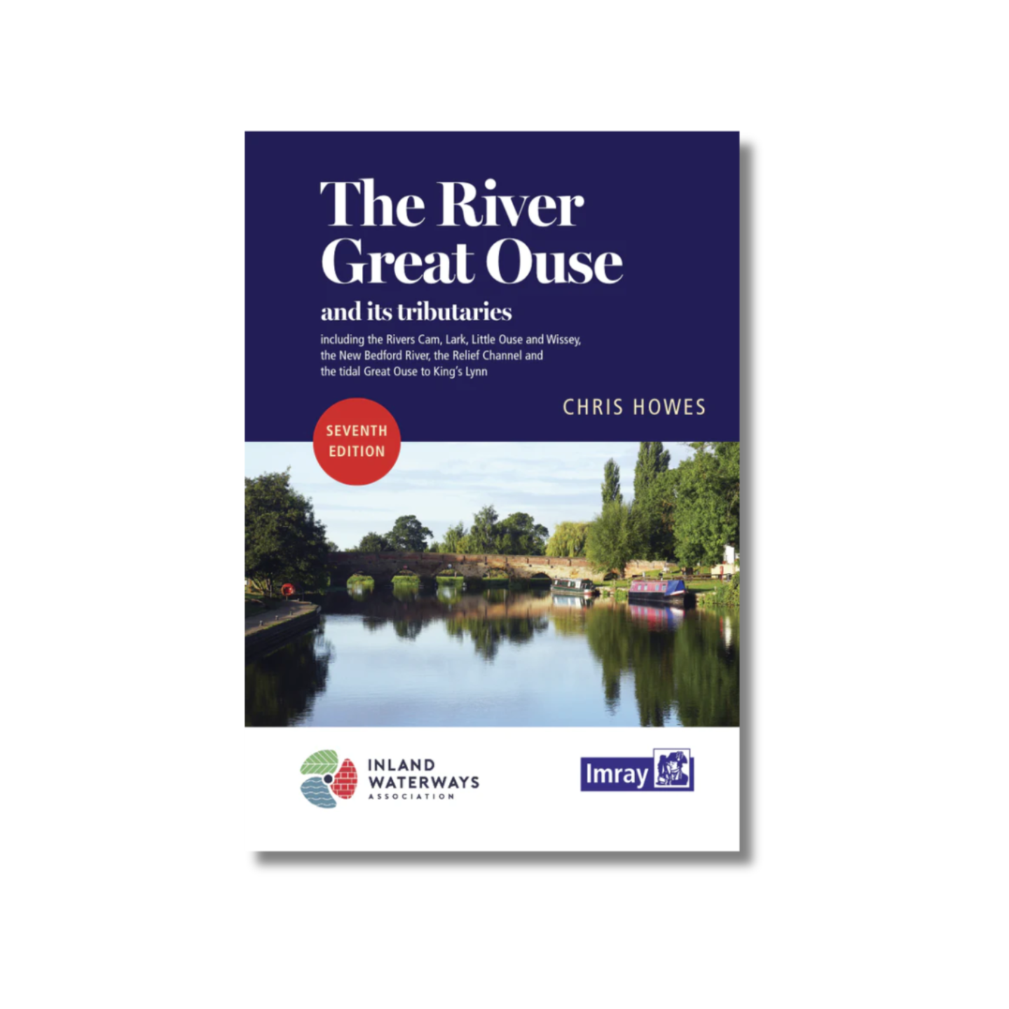
The River Great Ouse and its Tributaries – Chris Howes (Imray)
£15.95 Add to basket -
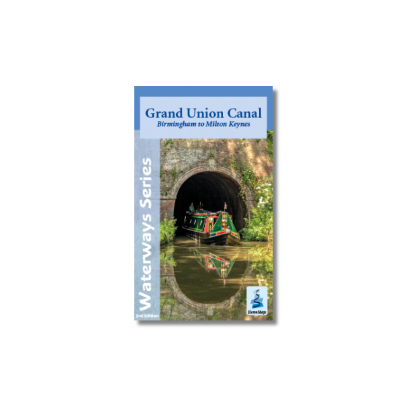
Grand Union Canal: Birmingham to Milton Keynes Map (Heron)
£5.99 Add to basket