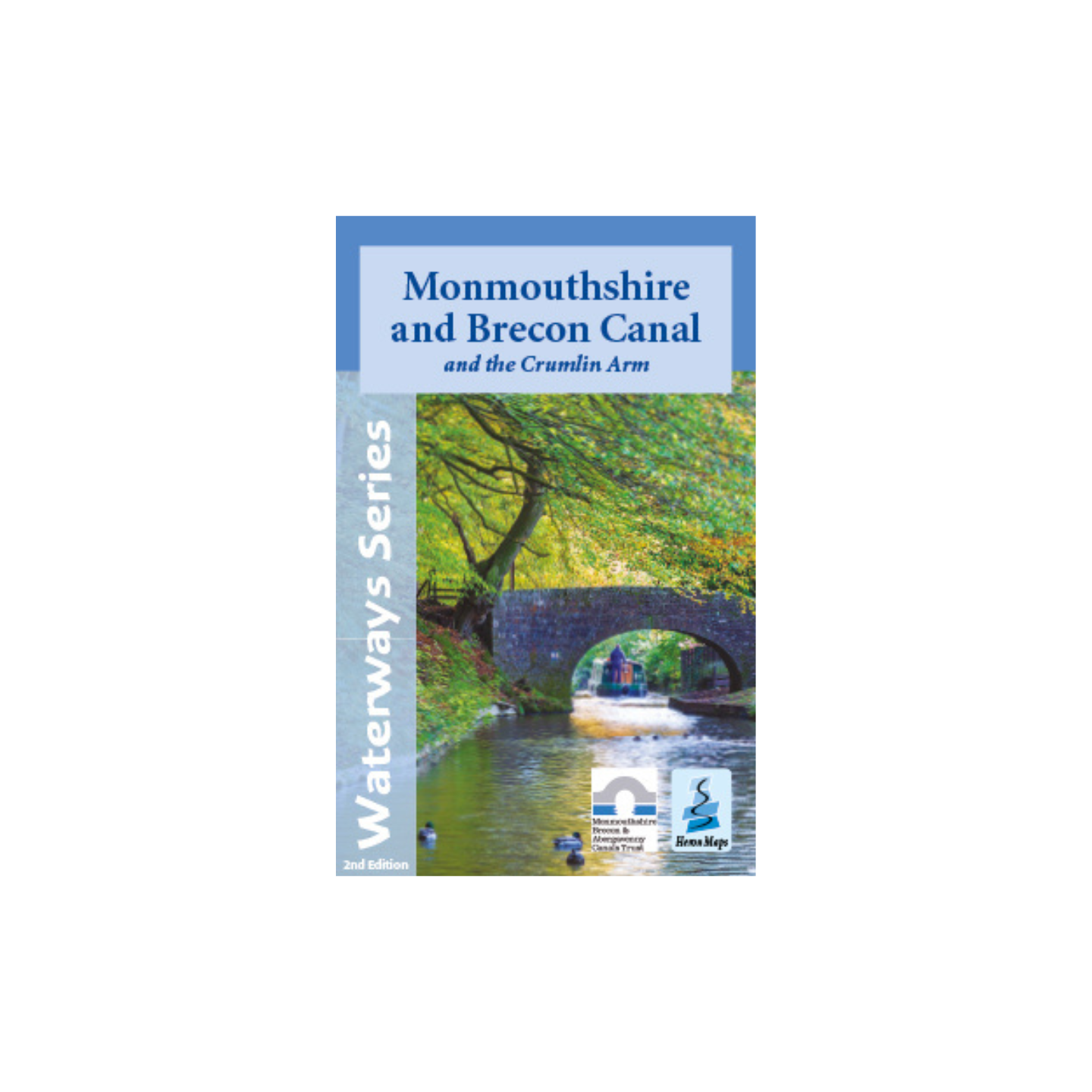
Monmouthshire & Brecon Canal Map (Heron) – 2nd Edition
£5.99
2nd Edition
Tourist map of the Monmouthshire and Brecon Canal and Crumlin Arm.
Out of stock
2nd Edition
Tourist map of the Monmouthshire and Brecon Canal and Crumlin Arm at 1:45,000, with detailed town plans at 1:12,500. Includes navigation and historical information, visitor moorings, marinas and boatyards, boat hire centres, facilities for the boat user, shops, post offices and distance markers. Information for the tourist includes tourist information centres, places of interest, bicycle hire, canoe hire points, pubs, nature reserves, parks, churches, long distance paths, public toilets, hostels and caravan and campsites.