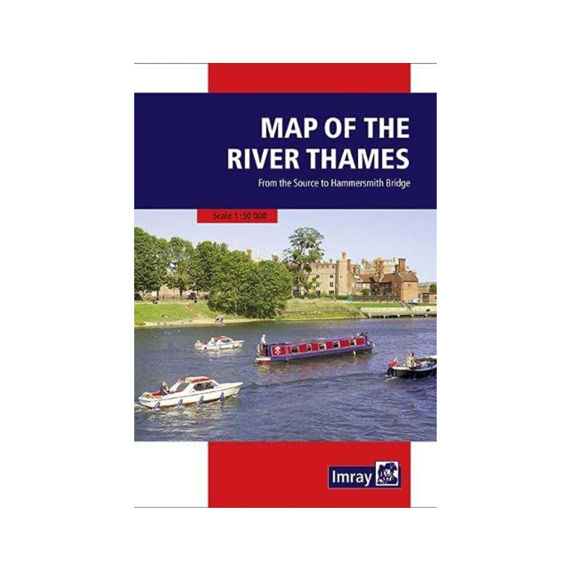
Map of the River Thames (Imray)
£9.95
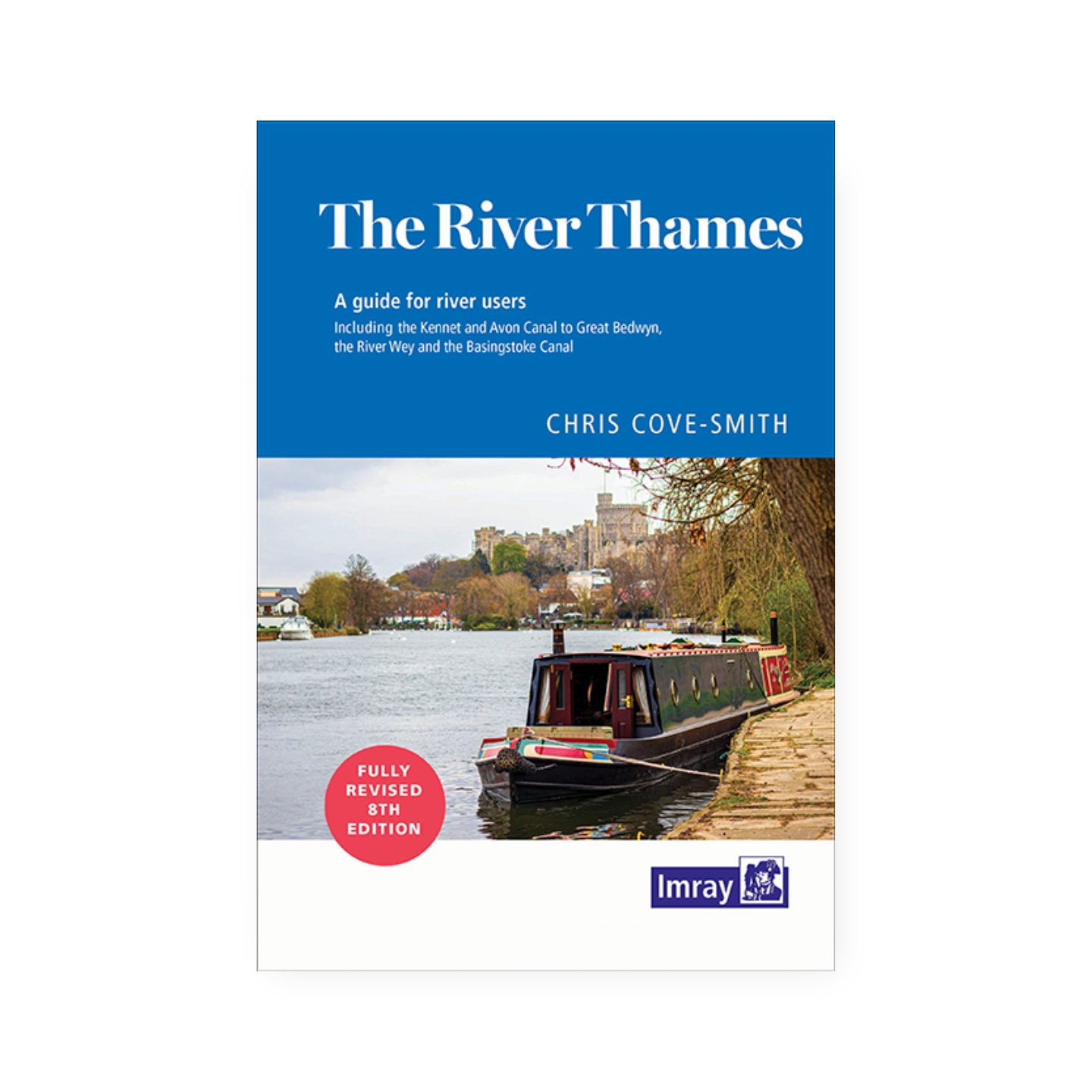
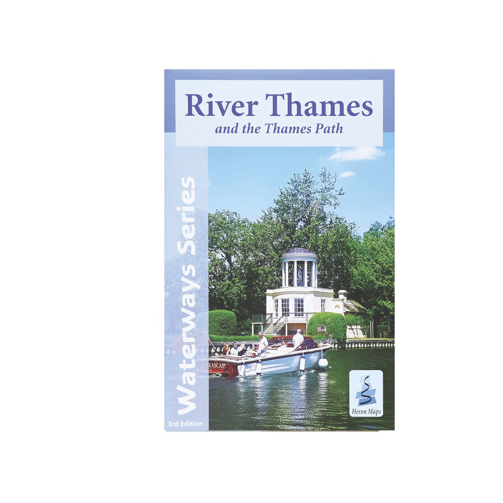
The third edition of this popular map of the non-tidal Thames from its the source above Cricklade to the entrance of the Grand Union Canal at Brentford below Teddington Locks has been fully revised. It is the ideal companion to Chris Cove-Smith’s River Thames Book.
In stock
Full information on boating facilities is included in the mapping, as are all the essential details on restricting dimensions, locks and bridges. Also shown are pubs, the Thames Path and other features of special interest. Large-scale insets of Oxford, Abingdon, Reading, Henley, Windsor and Eton, the River Wey junction and the entrance to the Grand Union Canal add to the clarity of this well presented map.
Author: Imray Laurie Norie & Wilson with assistance of Chris Cove-Smith
Binding: Softback
Published: March 2021
Pages: 2 (large fold out double-sided map) – 24 panes
Size: 251 x 176 mm
ISBN: 1786792532