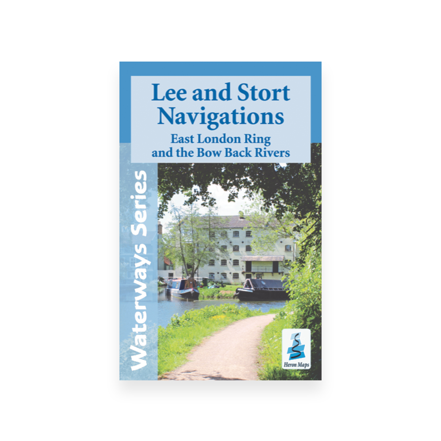
Lee and Stort Navigations Map (Heron)
£5.99
A full colour map of the Lee and Stort Navigations, suitable for both waterways and leisure users.
Published May 2022.
Out of stock
Lee & Stort Navigations – East London Ring and the Bow Back Rivers
A full colour map featuring the Lee and Stort Navigations suitable for both waterways and leisure users.
This map gives detailed coverage of the Lee and Stort Navigations, East London Ring and the Bow Back Rivers with emphasis on the waterways and information useful and relevant to users of the waterways without neglecting other leisure users. The map detail is complimented by information panels and photographs.
The Lee Navigation starts in Hertford and runs for approximately 28 miles into the heart of London, and for much of its length passing through or alongside the 10000 acre Lee Valley Regional Park with its huge variety of green spaces, sports venues and wildlife havens, including the Queen Elizabeth Park, the venue of the 2012 Olympics and fully restored Bow Back Rivers.
The Stort Navigation meanders for 14 miles from Bishop’s Stortford through pleasant Hertfordshire countryside, skimming the northern edge of Harlow before joining the Lee navigation at Rye House Junction, Hoddesdon.
A tourist map of the Lee and Stort Navigations, East London Ring and Bow Back Rivers at 1:45,000, with an enlarged plan of the East London Ring at 1:25000 scale and detailed town plans of Bishop’s Stortford, Hertford, Ware, Sawbridgeworth, Harlow, Broxbourne and Waltham Abbey at 1:12,500.