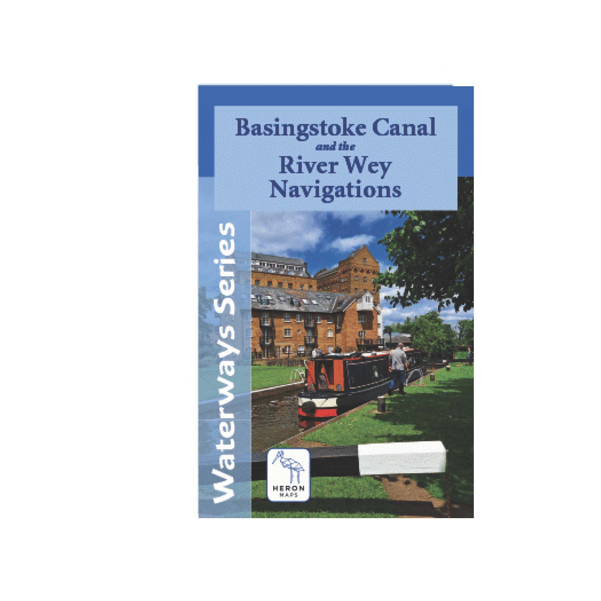
Heron Map – Basingstoke Canal and the River Wey Navigations
£7.50
A full colour map of the Basingstoke Canal and the River Wey Navigations suitable for both waterways and leisure users.
Published 2025
Only 1 left in stock
This map gives detailed coverage of the Basingstoke Canal and River Wey Navigations with emphasis on the waterways and information useful and relevant to users of the waterways without neglecting other leisure users. The map detail is complimented by information panels and photographs.
The Basingstoke Canal winds through the heart of Hampshire and Surrey, offering 32 miles of peaceful cruising, rich wildlife and unspoilt English countryside. It runs from Greywell in Hampshire to Byfleet in Surrey where it meets the River Wey Navigation.
The picturesque River Wey Navigation stretches 20 miles from the River Thames at Weybridge south to Guildford. From there it continues a further 4 miles south to Godalming along the Godalming Navigation.
A tourist map of the Basingstoke Canal and River Wey Navigations at 1:45,000, with detailed town plans at 1:12,500 for Fleet, Odiham, Woking, Guildford, and Godalming.
The map includes navigation and historical information, visitor moorings, marinas and boatyards, boat hire centres, facilities for the boat user, shops and distance markers. Information for visitors includes tourist information centres, places of interest, pubs, nature reserves, parks, churches, long distance footpaths, public toilets and caravan and camp sites.
Related products
-

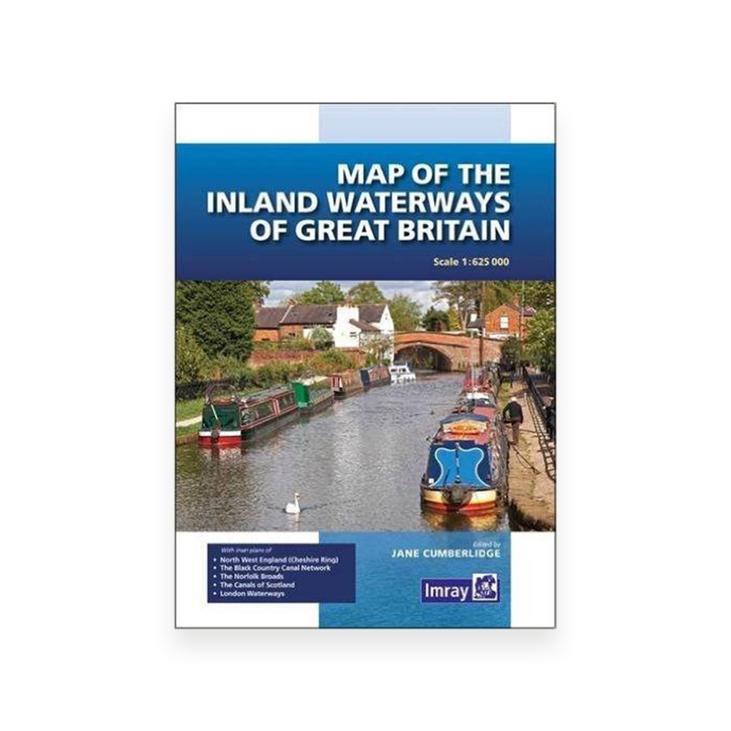
Map of Inland Waterways Of Great Britain (Imrays)
£10.95 Add to basket - Free Postage
Laundrette List (Aylesbury Canal Society)
£6.00 Add to basket - SALE
Nicholson Guide No 3 – Birmingham & Heart of England – 2022 edition
Original price was: £16.99.£9.99Current price is: £9.99. Add to basket -
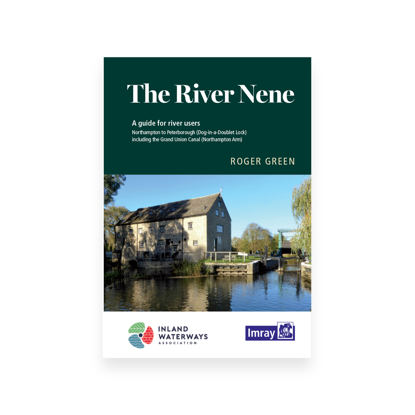
The River Nene Guide – Roger Green (Imray)
£12.95 Add to basket