
From the River Nene to the Great Ouse
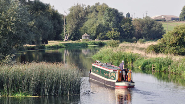
There are three locks along the shortest route (28.5 miles – 45.8 km) between Peterborough and Salters Lode, although the total length of the Middle Level Navigations is over 90 miles (145 km) excluding those sections managed by the Environment Agency. There are also many interconnecting, but unnavigable, drains.
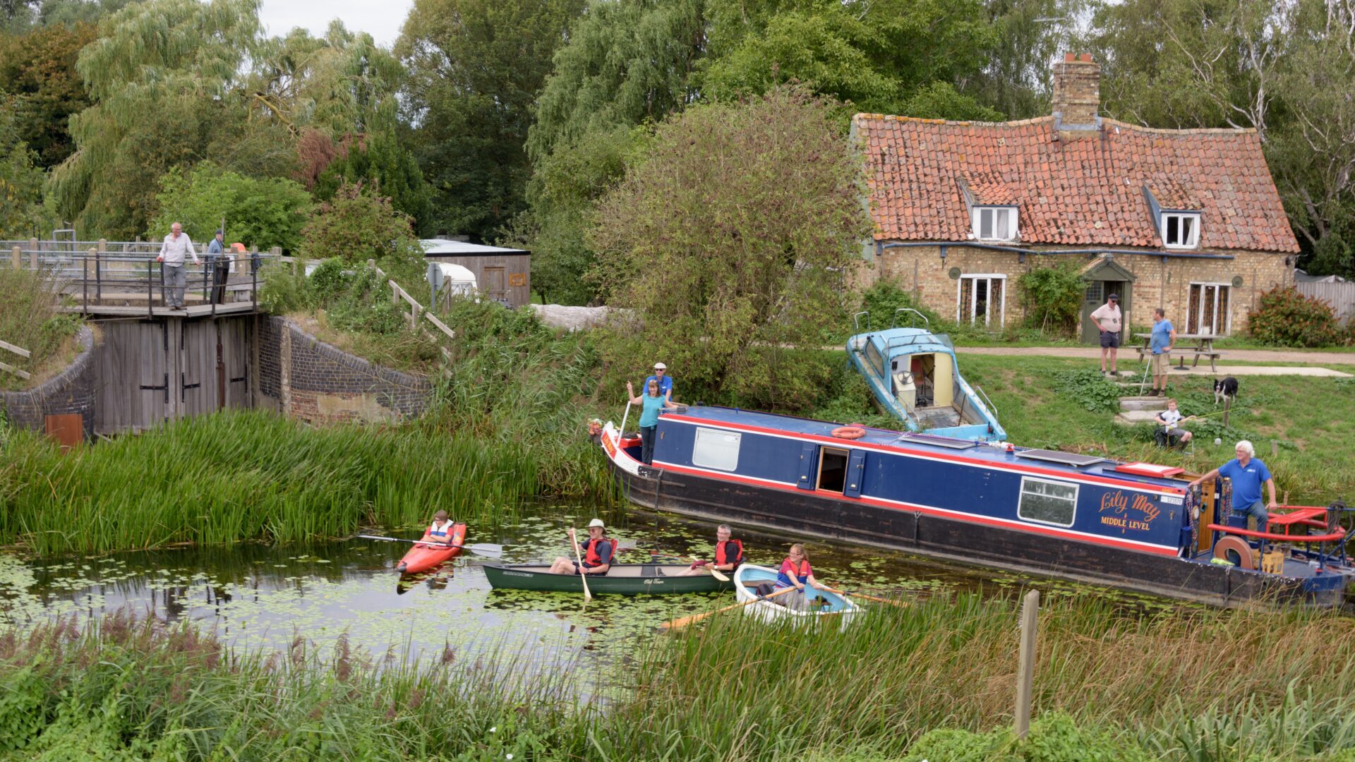
The old river channels through the Fens were probably used for transport during the Middle Ages, but it was the Dutch engineer Vermuyden who developed most of the system during the 1600s. The Middle Level water channels were primarily built for drainage, and that remains their primary purpose today; but they were soon found useful for the transport of agricultural produce, and as such use has faded away, they have become a hidden gem for recreational users seeking solitude on the inland waterways.
Most of the Middle Level Navigations are managed by the Middle Level Commissioners, other than the Old and New Bedford River / Hundred Foot Drain, and the Forty Foot River east of Horseway Lock, which are managed by the Environment Agency.
The main navigable drains are:
- Bevill’s Leam (4.9 miles)
- Black Ham Drain (3.6 miles)
- Forty Foot River (10.5 miles – excluding Environment Agency’s section)
- Kings Dyke (4.3 miles)
- New Dyke (3.3 miles)
- Old Nene River (26.1 miles)
- Popham’s Eau (2.3 miles)
- Ramsey High Lode (1.1 miles)
- Sixteen Foot River (9.6 miles)
- Twenty Foot River (10.4 miles)
- Well Creek (5.4 miles)
- Whittlesey Dyke (6.1 miles)
Early Campaign Notes
In October 1949, IWA’s Fenlands Branch was inaugurated covering the Middle Level, Welland, Nene, Great Ouse and its tributaries.
In 1959 a proposal to fill in part of Well Creek in the Middle Level for road widening was opposed.
1960 saw a three-week cruise through the Middle Level in the boats Blue Peter and Maid Mary-Sonya, led by Captain Munk and Robert Aickman. Following this cruise, a meeting with the Middle Level Engineer was held at which various improvements to navigation were discussed.
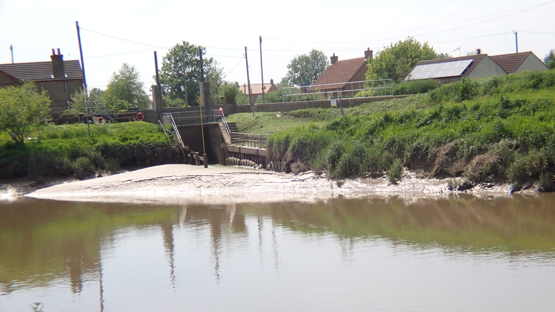
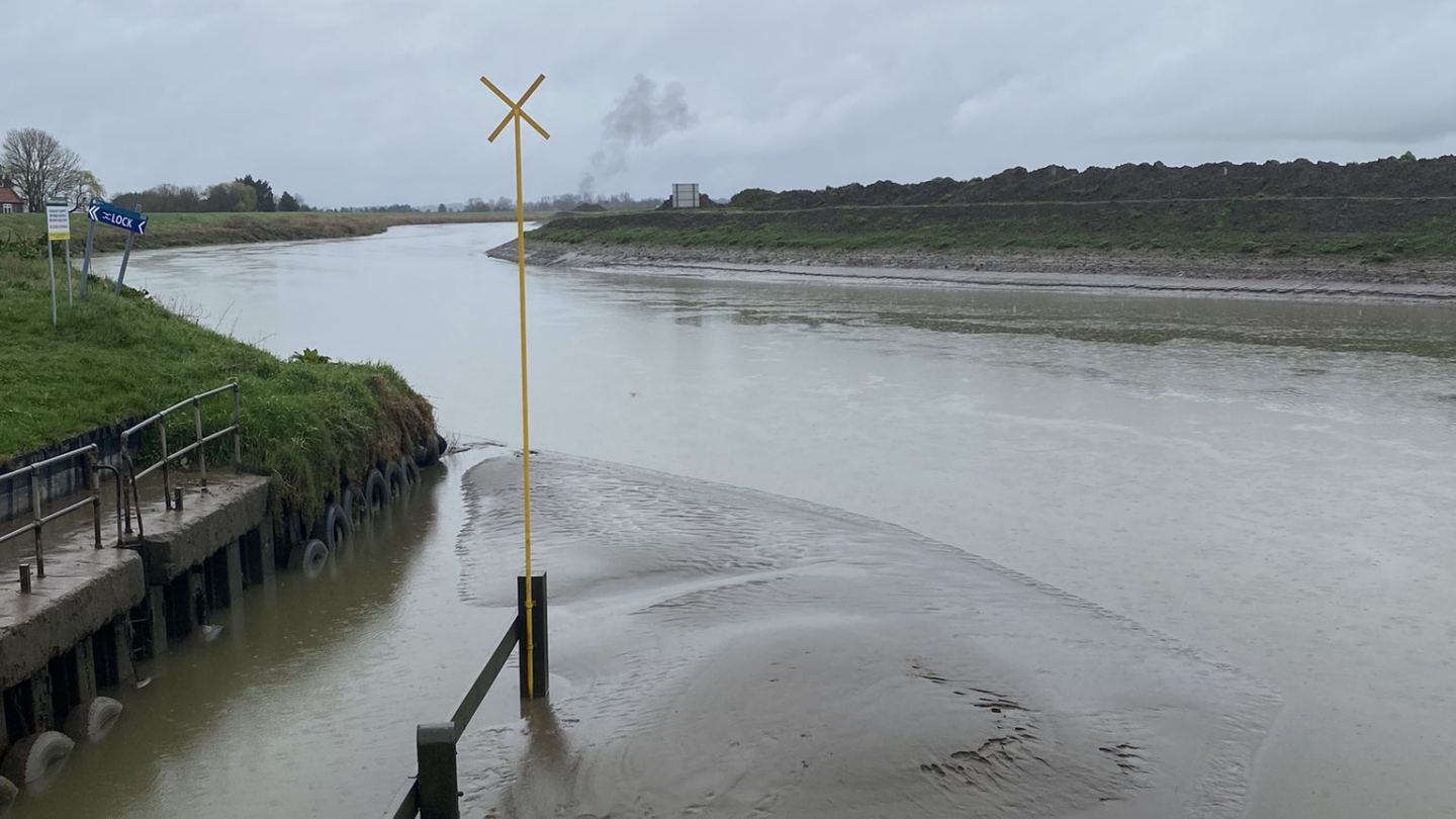
The restored lock with an electrically operated guillotine gate was opened in 1962 at Salters Lode. The Middle Level Commissioners planned to follow this with the dredging of Well Creek.
The Well Ceek Trust was founded in 1970.
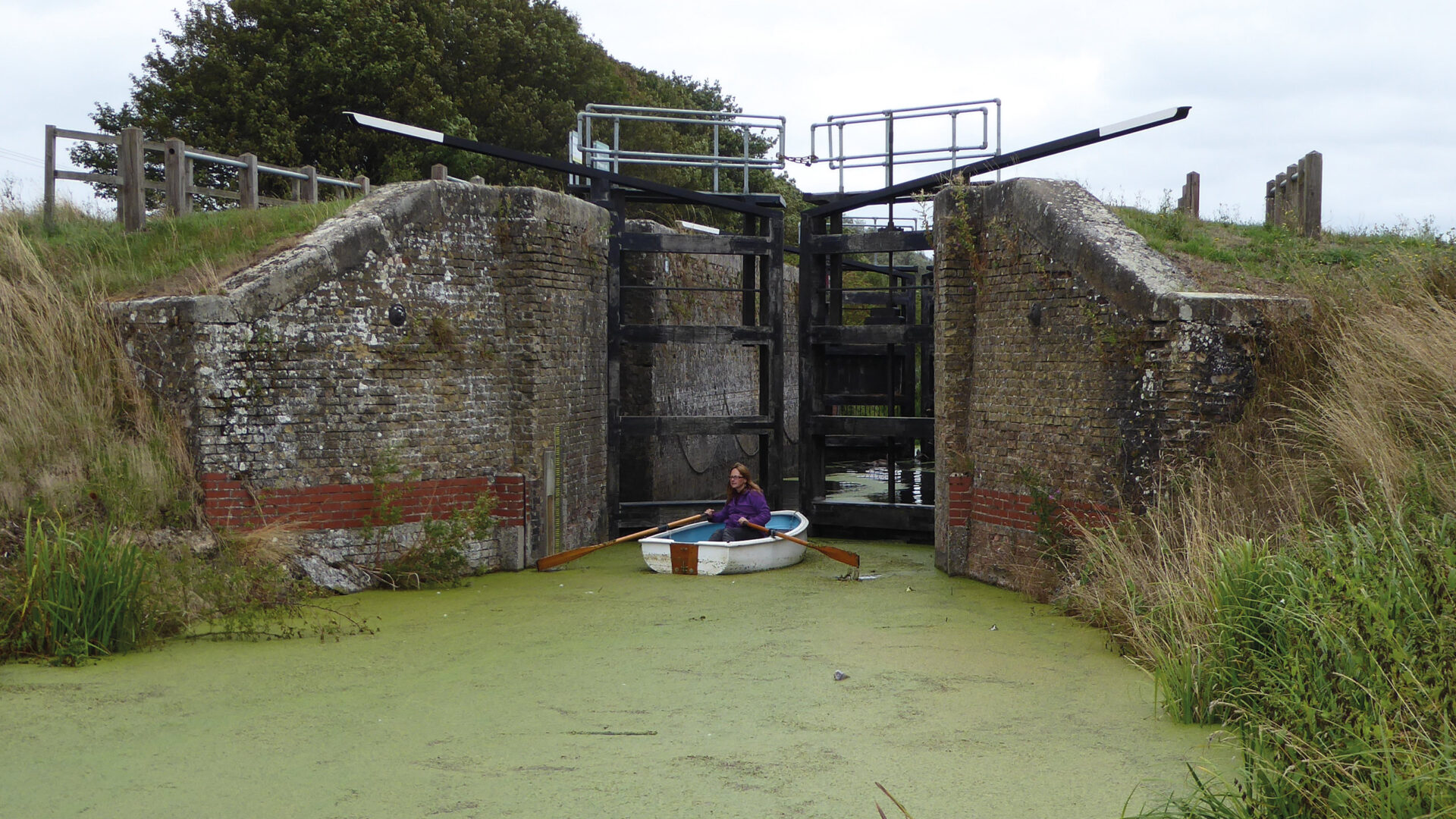
IWA issued two writs in 1981 against the Middle Level Commissioners one relating to the closure of Horseway Lock and the other to the obstruction of Bevill’s Leam.
In 1983 Legal action on the Middle Level started in 1981 met with success with the Commissioners agreeing to restore Horseway Lock and to build a new lock near Ramsey.