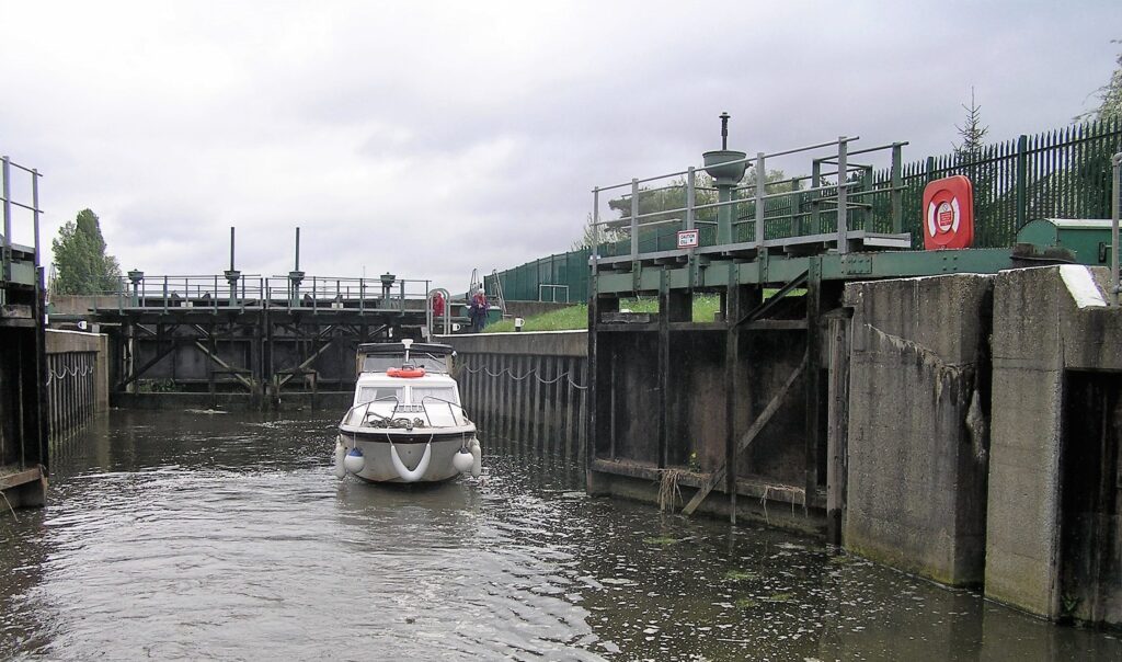
Exploring the River Welland
The upper part of this navigation is only suitable for light craft and canoes. There are two derelict locks on the river at Deeping St James. Small light craft can explore the river a further 1.5 miles (2 km) beyond the current head of navigation at Folly River Outfall to the first derelict lock. There is a public footpath alongside the river, occasionally on an adjacent drainage channel, all the way from Deeping St James to Fosdyke Bridge, near The Wash, where it joins the coastal footpath.
The historical connections of this area with Holland can be seen in the Dutch style of many of the buildings in Spalding. The Romans navigated the river between Stamford and Peakirk and the remains of a Roman canal can still be seen.
During the seventeenth century, the Stamford Canal was built, as a canalised bypass for the upper River Welland, with twelve locks to Stamford. Through the early part of the nineteenth century, the use up to Stamford declined.
Following the floods of 1947, the river was straightened and widened and, in 1953, the Coronation Channel, which is not navigable, was constructed to protect Spalding from floods. Fulney Lock was built in 1955-56.

