About the River Rother
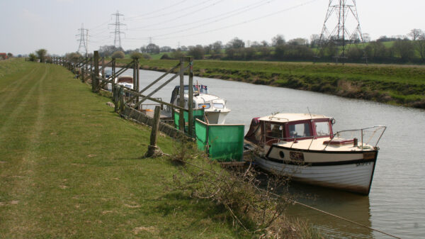
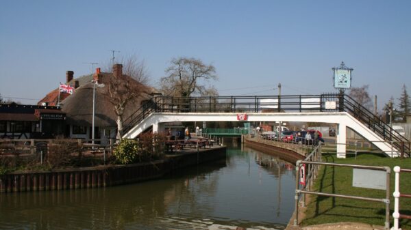
The Eastern branch of the River Rother in East Sussex is navigable upstream from the sea for 16.5 miles (26.5km) to the iconic setting of Bodiam Castle. It rises near Rotherfield in East Sussex and has been navigated since Roman times. To prevent flooding and the ingress of silt, a tidal lock was built near the village of Playden. Scots Float Sluice (also known as Star Lock) was probably built in the 1600s as there are records of it being repaired in 1723. The Rother Levels Acts of 1826 and 1830 ensure that navigation of the river between Scots Float and Bodiam Bridge is freely available with at least 5ft (1.52m) headroom. Thus the river was used by the local Rye sailing barges that traded around Rye Harbour without any tolls. Today, the river and its structures are managed by the Environment Agency, but you do not need to buy a licence to use them. Scots Float Sluice is only available for operation on limited number of days each year, and needs to be booked with the Environment Agency (03708 506506 – [email protected]) giving five days’ notice.
About a mile from Scots Float the remains of Iden Lock link the river to the Royal Military Canal. This 28-mile canal was constructed in the early 1800s as a defendable barrier to protect against invasion by the French during the Napoleonic Wars.
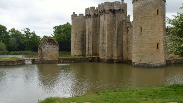
[The photo shows Bodiam Castle – © Michael Dibb (cc-by-sa/2.0)]


