Waterways > Royal Military Canal
Royal Military Canal
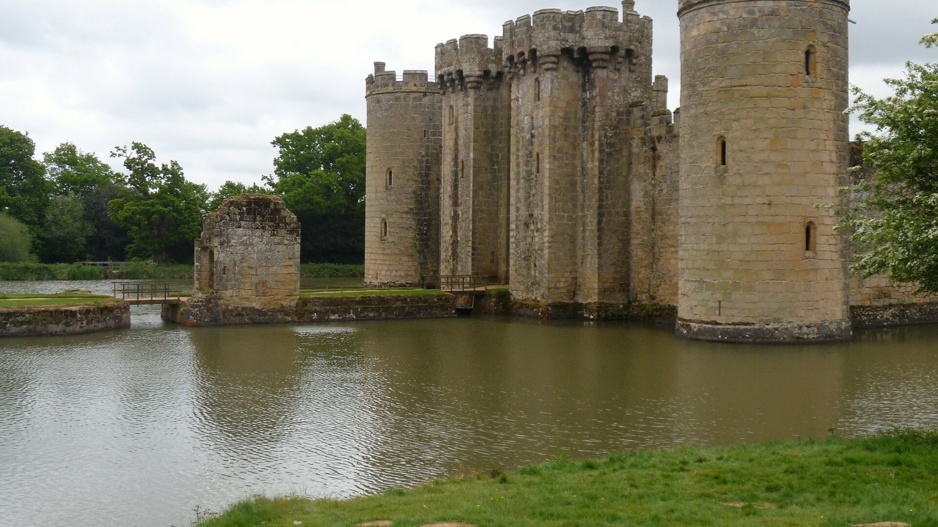
The Royal Military Canal was constructed as a defence against invasion during the Napoleonic War. The Canal links Hythe near Folkestone to Cliff End near Hastings.
Map showing the Royal Military Canal
Facts & Stats
28 miles
(45km)
Original length of the canal, which is still walkable from end to end.
1 lock
(Iden Lock)
The lock connects the eastern section of the canal to the River Rother.
1806
Year opened
Built as a defence against invasion during the Napoleonic War
Waterway notes
IWA Branch
Waterway underfunding
Hundreds of miles of waterways – along with their unique heritage and habitats – are currently starved of funding and rely on constant lobbying by us to safeguard their future.
Sustainable Boating
We want boating on canals and rivers to be more sustainable and – even though the current overall contribution to UK carbon emissions is very small – we want to help reduce emissions on the waterways.
Waterways Heritage at Risk
Britain’s canals and rivers are a unique, living heritage. But that heritage is at risk – from urban development, lack of protection, loss of skills and knowledge and climate change.
You can help Save Waterways Heritage.
Waterway restoration
Restoring the UK’s blue infrastructure – our inherited network of navigable canals and rivers – is good for people and places.
LOVE YOUR WATERWAYS
Britain's waterways are vital; together we can campaign for them now and for the future.