account arrow-down arrow-left arrow-right closecontact-us emailFacebookheart instagramjoin linkedin phonepinterestplaysearch twitteryoutube

River Cam

 The River Cam is navigable from Cambridge to the junction with the Great Ouse, at Pope’s Corner.

Map of the River Cam

Facts & Stats

14.5 miles

(23.2 km)

The length of the River Cam that is navigable.

3 locks

+ Lodes

Man-made navigable channels that feed in to the river.

1703

Improvements

An Act was passed for improvements above Clayhithe, as well as a further Act in 1813. The river and lodes have been used for transport since the Roman times.

From Cambridge to the Great Ouse

There is around 15 miles that is navigable of the River Cam, from Cambridge to the junction with the Great Ouse, at Pope’s Corner. Upstream from Cambridge, the river is used by canoeists as far as Guilden Moor (Cam) and Audley End (River Granta).

There are a series of navigable man-made channels, called lodes, that feed into the river.

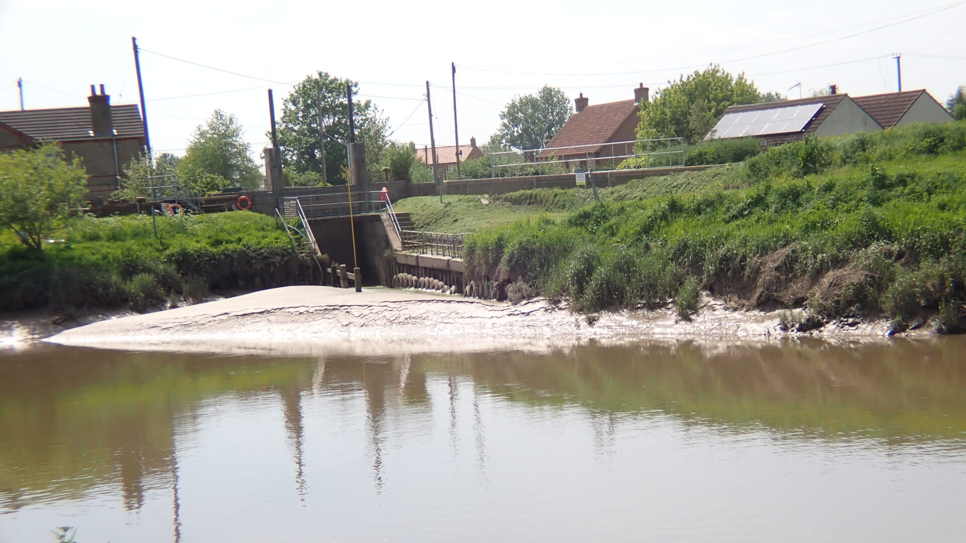
Reach Lode (2.1 miles) and Wicken Lode (1.5 miles) feed into Burwell Lode (3.7 miles), which joins the Cam at Upware about three miles upstream of Pope’s Corner. These are open and maintained by the Environment Agency. 

Many of the drains or lodes leading off the river have been navigable since Roman times. In the Middle Ages, the river was used to transport stone to the university and corn dowstream to the Great Ouse and onwards to Kings Lynn. As the university expanded, the river was needed for the transport of food and building materials. In 1703, an Act was passed for improvements above Clayhithe, and a further Act in 1813.

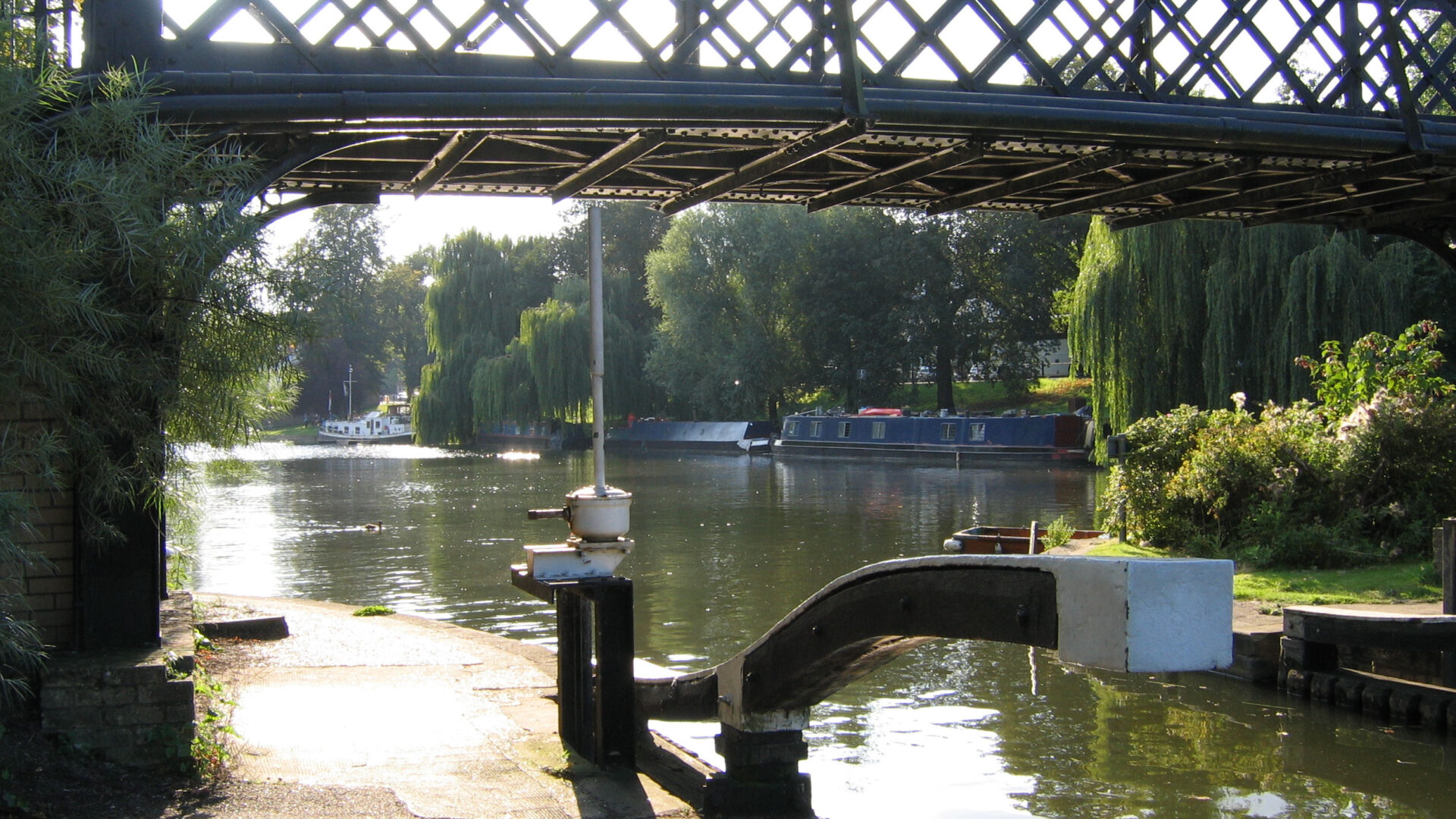
The Cam Conservators have been navigation authority for the river above Bottisham Lock since 1703. Navigation above Jesus Green Lock through ‘The Backs’ is usually by arrangement only, this part of the river usually being the preserve of punts in the summer months and often very busy.

Waterway notes

Maximum Boat Sizes

  • Length: 100’0″ (30.5 metres)
  • Beam: 14’0″ (4.3 metres)
  • Height: 9’0″ (2.7 metres)
  • Draught: 4’0″ (1.2 metres)

Navigation authority

Conservators of the River Cam (Kings Mill, Cambridge to Clayhithe Bridge)

Environment Agency (Clayhithe Bridge to the Great Ouse)

Useful info

Swaffham Bulbeck Lode (cut-off by an inoperable lock) is semi-navigable, and Bottisham Lode is currently unnavigable. These lodes are not maintained for navigation but, along with others, are proposed for restoration.

Waterway underfunding

Hundreds of miles of waterways – along with their unique heritage and habitats – are currently starved of funding and rely on constant lobbying by us to safeguard their future.

Sustainable Boating

We want boating on canals and rivers to be more sustainable and – even though the current overall contribution to UK carbon emissions is very small – we want to help reduce emissions on the waterways.

Waterways Heritage at Risk

Britain’s canals and rivers are a unique, living heritage. But that heritage is at risk – from urban development, lack of protection, loss of skills and knowledge and climate change.

You can help Save Waterways Heritage.

Waterway restoration

Restoring the UK’s blue infrastructure – our inherited network of navigable canals and rivers – is good for people and places.