About the Forth & Clyde Canal
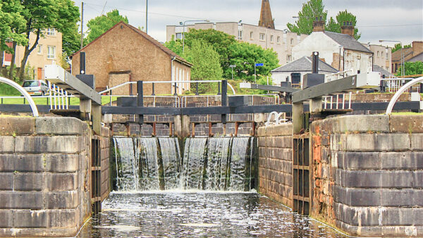
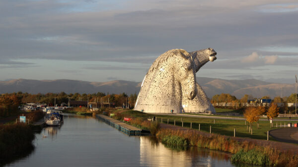
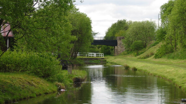
The Forth & Clyde Canal opened in 1780 to provide an inland route for seagoing ships between the Firth of Forth and the Firth of Clyde. The canal is 35 miles (56.3 km) long with 39 locks; roughly following the course of the Roman Antonine Wall across the narrowest part of the Scottish Lowlands. Running from Bowling Basin on the River Clyde to the River Carron at Grangemouth; all the bridges opened giving unrestricted headroom for the ship’s masts. As ships got too big to use the canal, traffic declined but fishing boats used the route across Scotland until it closed in the early 1960s. The Glasgow Arm is a branch off the main line, above Maryhill locks, that connected to the Monkland Canal at Port Dundas; named after a major backer of the Forth and Clyde Canal Company.
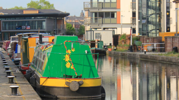
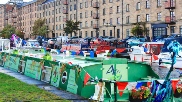
[Photo: Spiers Wharf, at the end of the Glasgow Arm – by Jonathan Mosse]


