About the River Great Ouse
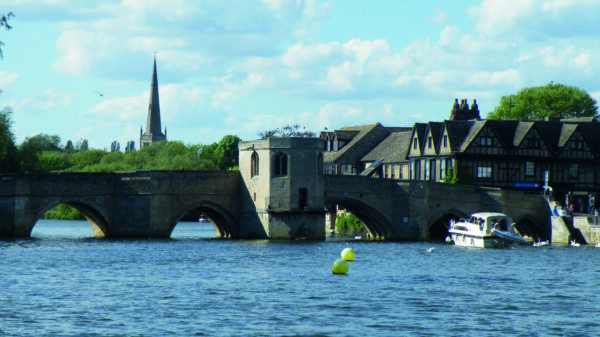
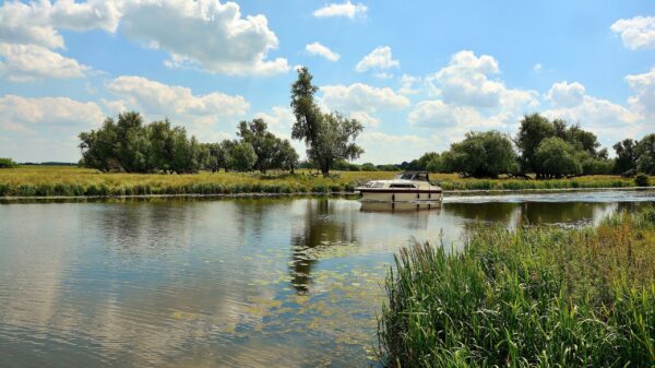
The Great Ouse is one of the longest British rivers at 143 miles and the longest of several named Ouse. From Northamptonshire, it flows into The Wash near Kings Lynn. Flowing through the low lying Fenlands the river joined the sea near Wisbech in the Dark Ages, but the course of the river changed several times during floods. The great drainage schemes of the 1600s defined the present course. Always important as a means of moving goods and trade, navigation was extended up to Bedford in 1689 by the construction of pound locks or sluices as they are known locally.
The sole connection to the connected waterways network is via a short tidal passage between Denver Sluice and Salters Lode on the Middle Level. The proposed 16-mile Bedford & Milton Keynes Waterway would link the Great Ouse, near Kempston Mill, to the Grand Union Canal in Milton Keynes. A partnership led by Bedford & Milton Keynes Waterway Trust includes the local councils, IWA, Canal & River Trust, Great Ouse Boating Association and the Environment Agency. The waterway would be the core of a linear water park providing great social, economic and environmental benefits. It would create a new cruising ring and extend the available waterways for southern wide beam boats.
The upper river had been long disused but restoration of navigation to Bedford was finally completed in 1978 through the efforts of the Great Ouse Restoration Society supported by IWA’s Waterway Recovery Group. The reopening celebrations led to the bi-annual Bedford River Festival. The river is managed by the Environment Agency. The official Head of Navigation on the River Great Ouse is at Kempston Mill, about 3 miles upstream of Bedford Lock.
[Photo, from Bedford & Milton Keynes Waterway Trust, shows narrow boat Grace, the first boat to visit the new landing stage, in September 2022]


