About the River Forth
The River Forth is a free river with no navigation works and no licence requirements. The river is tidal up to Craigforth Mill, a short distance above Stirling. Up to Alloa the river is largely a wide estuary, but beyond there the river twists and there are unmarked shallows. In the 18th century there were several proposals to improve the river for navigation above Alloa, and in 1767 proposals were put forward to extend the navigation beyond Stirling to the lime and slate quarries at Aberfoil and, by four cuts, to shorten the course from Stirling to Alloa to seven miles from the present near thirteen miles. But John Smeaton reviewed the proposals, found them impractical and so nothing happened.
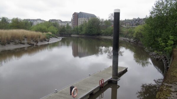
Today, the Head of Navigation is at the remains of an old weir, about 300 metres downstream of where the M9 crosses the river. In the city, the river is regularly used by canoeists and rowers, and there is a free to use pontoon provided by Stirling Council on the downstream outskirts of the city, which provides easy access to the city centre. Boats can, however, make their way for about a further mile upstream, albeit with no closer access to the city centre owing to loops in the river.
[The photo shows the mooring pontoon provided by Stirling Council – by Richard Webb © cc-by-sa/2.0]


