
Development of the Navigation
The River Weaver Navigation was originally developed to transport salt from the Cheshire mines to the port of Liverpool. Its history spans nearly 300 years, evolving from a modest tidal river into a major industrial artery, followed by decline and now modest use for recreation.
Although the River Weaver had been used for centuries to move salt via packhorses and small tidal barges, it was too shallow and winding for larger vessels. In 1721, the River Weaver Navigation Act was passed, authorising the first major improvements to make the river navigable from the Mersey estuary as far as Winsford. The work was completed in 1732 at a cost of £15,885, involving the construction of eleven timber locks, weirs, and cuts to manage the 50-foot descent to the Mersey over 20 miles. The original vessels used on the Navigation were known as Weaver Flats, and were either sailed or bow-hauled by men. The 1732 Act included an unusual clause requiring profits to be used for maintaining Cheshire’s roads and bridges.
The navigation’s fortunes soared with the Cheshire salt trade. The arrival of the Trent and Mersey Canal in 1777 initially threatened river trade, but the two systems quickly became complementary. By 1793, chutes were built at Anderton to transfer salt directly from canal narrowboats into river barges below, bypassing the need for unloading. This boosted traffic, with over 171,000 tons of salt moving annually by 1790.
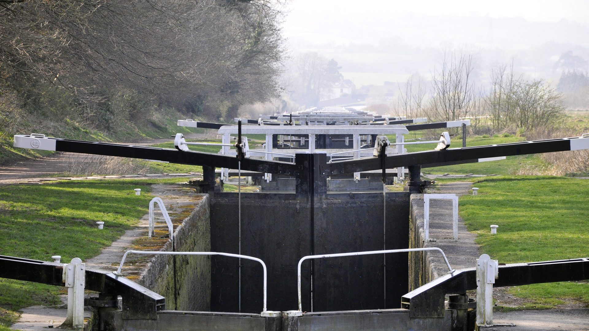
[The photo shows Saltisford Locks, taken in 1939]