Waterways > River Idle
River Idle
The River Idle is virtually unnavigable. However, there is a right of navigation for the River Idle from Bawtry Bridge in Bawtry to Stockwith, where it connects with the tidal Trent.
Map of the River Idle
Facts & Stats
10.9 mile
(17.5km)
The length of the River Idle that is meant to be navigable.
0 locks
From Bawtry Bridge to the River Trent
The river was navigable from Bawtry to the River Trent in the sixteenth century but it was only in 1720 that an Act was passed allowing improvement to East Retford. Work was not carried out and the river lost traffic to the improved Don and later the Chesterfield Canal.
Waterway notes
Maximum boat sizes
There are no locks to control length and beam of vessels visiting the river Idle, but boats in excess of 72′ (21 metres) will have difficulty in turning round for the reverse journey. Other limiting dimensions are:
- Height: 9′ (2.7 metres)
- Draught: 3′ (0.9 metres)
Navigation authority
None
Useful info
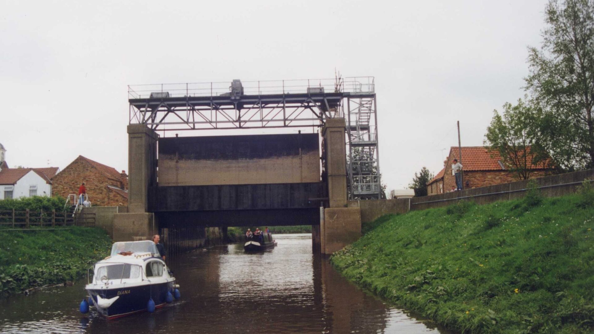
Although there is no navigation authority for the River Idle, access to the river at West Stockwith is controlled by a tidal sluice gate operated by the Environment Agency, which requires 48 hours advance notice of intended passage, and a substantial fee is payable. The Agency also controls drainage and other aspects of the river.
Waterway news
Waterway underfunding
Hundreds of miles of waterways – along with their unique heritage and habitats – are currently starved of funding and rely on constant lobbying by us to safeguard their future.
Sustainable Boating
We want boating on canals and rivers to be more sustainable and – even though the current overall contribution to UK carbon emissions is very small – we want to help reduce emissions on the waterways.
Waterways Heritage at Risk
Britain’s canals and rivers are a unique, living heritage. But that heritage is at risk – from urban development, lack of protection, loss of skills and knowledge and climate change.
You can help Save Waterways Heritage.
Waterway restoration
Restoring the UK’s blue infrastructure – our inherited network of navigable canals and rivers – is good for people and places.
LOVE YOUR WATERWAYS
Britain's waterways are vital; together we can campaign for them now and for the future.