Risk index
Mapping Threats Across the Waterways Network
Following the Climate Change Committee’s warning to government to prepare for 2oC warming by 2050, the Inland Waterways Association (IWA) has produced a first-of-its-kind map revealing the likely impact of 2oC degrees warming on Britain’s 5,000-mile network of canals and navigable rivers, as well as other risks.
Key
- Current waterways
- Waterway restorations
- New Waterway routes
- Abandoned waterways
- Red
Severe funding deficit and uncertainty about future - Amber
Moderate funding threat, potential for situation to deteriorate in future - Green
Currently financially stable  Indefinite Closures
 Heritage features at Risk
Drought Severity Index
12-Month Accumulations – Projections (% deficit)
0 – 2
2 – 4
4 – 6
6 – 8
8 – 10
10 – 12
12 – 14
14 – 16
16 – 18
18 – 20
Winter Precipitation Change – Projections (12km)
% winter change from baseline (2oC median)
- -16 – -12
- -12 – -8
- -8 to -4
- -4 to 0
- 0 to 4
- 4 to 8
- 8 to 12
- 12 to 16
Key
- Current waterways
- Waterway restorations
- New Waterway routes
- Abandoned waterways
- Red
Severe funding deficit and uncertainty about future - Amber
Moderate funding threat, potential for situation to deteriorate in future - Green
Currently financially stable - Indefinite Closures
- Heritage features at Risk
Drought Severity Index
12-Month Accumulations – Projections (% deficit)
0 – 2
2 – 4
4 – 6
6 – 8
8 – 10
10 – 12
12 – 14
14 – 16
16 – 18
18 – 20
Winter Precipitation Change – Projections (12km)
% winter change from baseline (2oC median)
- -16 – -12
- -12 – -8
- -8 to -4
- -4 to 0
- 0 to 4
- 4 to 8
- 8 to 12
- 12 to 16
Key Facts
- Over 10 million people rely on free access to canals and rivers for health and wellbeing, saving the NHS an estimated £1.5 billion annually.
- Canals are green corridors for nature, reconnecting habitats and tackling biodiversity loss.
- IWA’s evidence-based climate risk map shows where and why our waterways face the greatest threats by 2050.
- Our mapping shows that no part of the system will escape susceptibility to winter precipitation and drought risk
- Action now will prevent structural failures, water shortages, navigation stoppages and heritage loss.
At Risk
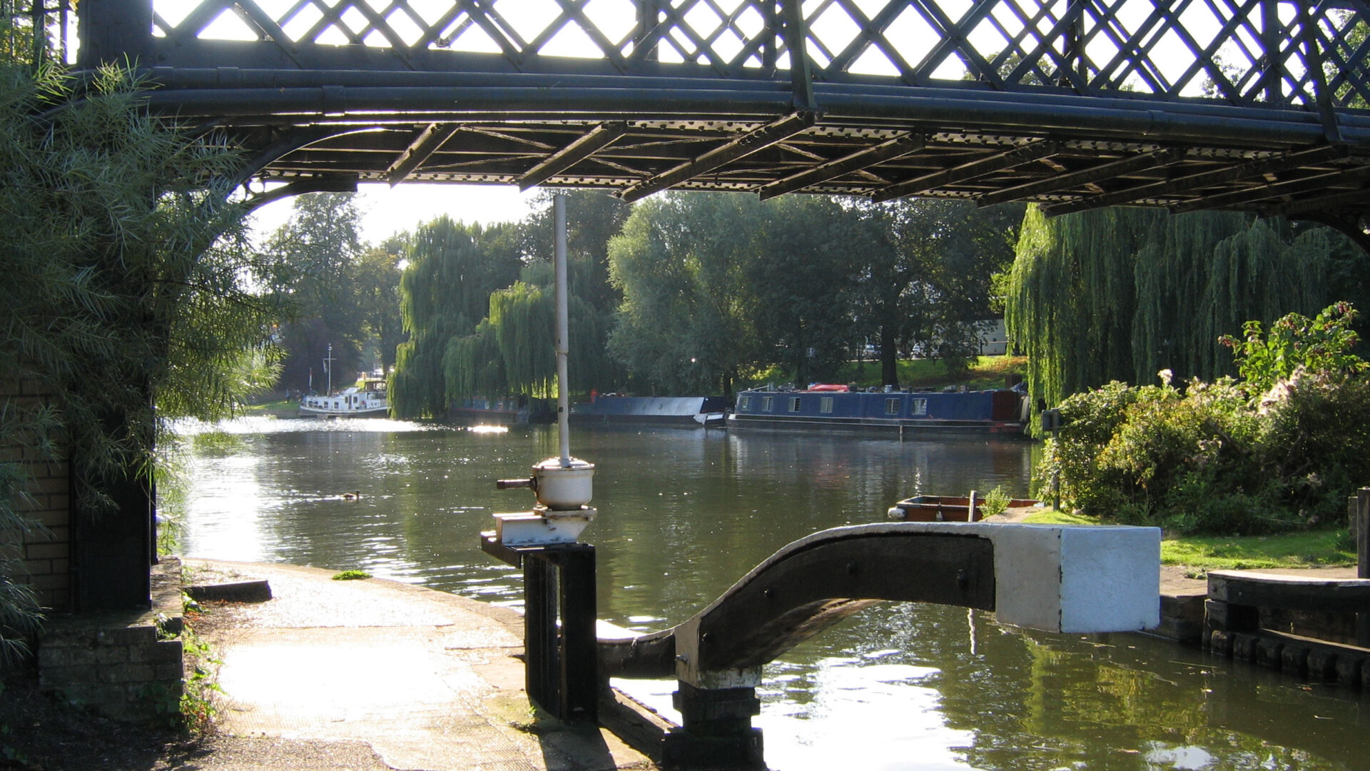
IWA has examined the risks facing our waterways following several winters of severe flooding damage, the worst being the collapse of the Bridgewater Canal in January 2025 and the breach on the Llangollen Canal in December 2025, as well as 2025 being the hottest Spring on record which resulted in large sections of the system closing due to low water levels.
Lack of funding to maintain our waterways in the face of climate change is a key factor in the network’s decline. We have used our expert knowledge of the status of the various navigation authorities looking after our waterways to categorise them.
- Red
Severe funding deficit and uncertainty about future - Amber
Moderate funding threat, potential for situation to deteriorate in future - Green
Currently financially stable
Key waterways we have categorised “Red”
Conservators of the River Cam
Recently declared unable to meet its commitments to keep the river open. Remaining assets to be spent on stabilising current poor condition of locks. Present situation appears unsustainable without support.
Environment Agency
The Environment Agency is responsible for managing a range of rivers and waterways across several regions, including Anglian, Southern, and Thames areas. Its remit includes overseeing navigation, flood management, and environmental protection on these waterways.
In recent years, there have been growing concerns about the declining standards of maintenance and the complexity of administrative processes, which can make operational management less efficient. Funding arrangements have tended to prioritise major capital works, often leaving limited resources for routine maintenance and navigation support.
Also has responsibility for some navigations without dedicated navigation authorities, such as the Yorkshire Derwent and River Idle, where access charges may limit usage for some users.
Key waterways we have categorised “Amber”
Broads Authority
Manages the Norfolk & Suffolk Broads: has the status of a national park. Funding for Navigation was ring-fenced from boat licences and related income with no national government support. It has now been given more flexibility over the use of National Park capital funding but with an -8.2% reduction in National Park revenue grant. Finding it increasingly difficult to make ends meet with reducing boater numbers, particularly income from hire boats, which have traditionally provided good section of income.
Canal & River Trust
The charity, formerly British Waterways, maintains 2,000 miles of canals and rivers across England & Wales. Challenged by reducing Government funding, impacts of increasingly ageing infrastructure, tightening regulations for reservoirs, legally binding environmental conditions, and climate change, but has growing volunteer support.
Heritage Features at Risk
The list represents a cross section of threatened waterways heritage.
One of the main reasons heritage sites are threatened is when a waterway-related building or complex falls out of use for a long time and a new use is not easily found, resulting in decline into disrepair, for example, Oliver’s Mill in Stoke-On-Trent.
The High Peak transhipment warehouse on the Cromford (in a World Heritage Site) is not at immediate risk but is now standing unused, having previously been used as an outdoor-pursuits centre and hostel.
In other cases, a very radical change of use is proposed, as with ‘The Bays’ warehouses at Paddington Basin, the last remaining canal-working buildings there – which are proposed to have a new hospital research department built on top of them.
There are shining examples of this type of building being saved, as with the Shrewsbury Flaxmill Maltings (now museum and workspace) on the disused Shrewsbury and Newport canal, the restoration of Wappenshall junction and its buildings on the same canal.
Related to this is when waterways working structures fall out of use. This can be either because their function is no longer needed, as with the (listed) tub boat hoist in Goole Docks which was dependent on the export coal trade along the Aire and Calder, or with the four aqueducts on the list which are deteriorating because their canals are out of use and so maintenance and repair is minimal.
Damage can result from storm damage for instance, especially with Aberdulais on the Neath/Tennant canals. Even when there is realistically little prospect of their canals being restored to navigation in the foreseeable future, these structures are still important industrial monuments in their own right.
Finally, there are structures that are necessary for navigation that have effectively been allowed to fall into disuse, such as the Dee Lock on the Shropshire Union Canal in Chester.
Indefinite Stoppages
There are currently 21 stoppages across the network that have no end date. A network that is not connected means lost opportunities for businesses and an impact on navigation. Far too many of the stoppages appear to have no current plans to reopen which means the connected system is lost in perpetuity, in effect.
Drought Severity
Following this year’s drought, with the driest spring ever recorded, Met Office climate projection maps have been used to map how waterways could be affected by lack of water in the future.
This map shows the median projected drought severity for a global 2oC temperature rise, which IPCC data suggests could happen within the next few decades.
The Met Office drought severity index is not threshold based. Instead, it is calculated with 12-month rainfall deficits provided as a percentage of a baseline -the mean annual total rainfall (1981–2000) for that location (higher deficits are shown in yellow/orange). It is therefore a measure of drought severity, not frequency, and higher values indicate more severe drought. Twelve-month accumulations have been selected as this is likely to indicate hydrological drought – water scarcity over a long period of time. These droughts can heavily deplete water resources on a large scale as opposed to meteorological or agricultural drought, which generally occur on shorter timescales of 3-12 months.
As this summer has shown, drought has severe implications for waterways users and the businesses that rely on them, and the Met Office data overlaid with the waterways network reveals just how widespread and increasingly problematic drought is to become in he future.
Higher drought severity figures are predicted in particular for several crucial areas for the waterways – in areas of higher ground where canals cross summits and therefore where key reservoirs are located. The Pennine summit provides canal links between the North East and North West waterways: Leeds-Liverpool, Rochdale and Huddersfield canal, this whole area is predicted to experience increased drought. This year the Leeds-Liverpool canal has been shut since May due to low water.
The other key area of concern is the Midlands, the heart of the canal network, fed by many reservoirs whose water resources will be increasingly stretched. An area rich in canal heritage and home to numerous waterways businesses depending on a connected network, it is an area that will be increasingly hit by drought in the future.
Projected winter precipitation
Winter precipitation is another key risk factor for the waterways. While it is vital to fill reservoirs ahead of the summer season, too much rainfall has devastating consequences, as shown by the major breaches that occurred during the storms of early January and December 2025, and previous years. Even the Bridgewater Canal, which was not considered to be poorly maintained, (and is one we categorise as Green for funding risk) suffered a catastrophic breach on New Year’s Day 2025 that severed a North South route for what is likely to be several years.
Other breaches caused by excess rainfall were on the Huddersfield Canal in 2025 and the Figure of Three Locks on the Calder and Hebble navigation in 2020.
This map shows the Met Office’s projections of changes in winter precipitation rate (% change relative to a 1981-2000 baseline) for 2oC global warming levels from the UK Climate Projections (UKCP18). Overlaying the waterways network on this map where anything in green indicates increased rainfall (purple blocks is decreased rainfall) shows that there is no part of the system that will escape increased winter precipitation.
Of particular concern for navigation is the south of England, particularly the River Thames. When rivers such as the Thames are in flood, referred to as ‘on red boards’, navigation is not possible. In Winter 2024/5 the river Thames was on red boards for around 5 months, effectively bringing navigation to a standstill and negatively affecting waterways businesses.
Many of the major rivers in England (Thames, Nene, Great Ouse, Medway) are also managed by the Environment Agency, which we have categorised as Red for funding. This lack of funding for maintenance, coupled with the projected increase in winter precipitation will create a “perfect storm” of threat to our waterways.
Water Transfer
As water transfers may ease some climate pressure, we’ve added them to show where schemes are already operating and planned across the network.
- Solid dark red lines show existing water transfers, and
- Dashed dark red lines show proposed water transfer.
Water transfers, if designed with care, can help mitigate the growing impact of climate change on Britain’s waterways by keeping canals navigable, supporting ecosystems and preserving heritage. These benefits will only be realised through rigorous engineering, clear operating principles, and enforceable protections for the wider network.
However, any infrastructure failures on these schemes threaten water security, as was clear when the breach occured on the Llangollen Canal which supplies drinking water to parts of Cheshire. A temporary pumped system was swiftly deployed to transfer water around the breach site.
For further technical details about any of these transfers, see this summary, on which this map was based.
Conclusions

It’s Time to Invest in Britain’s Waterways
Britain’s 5,000 miles of navigable waterways are a national asset but reduced funding and climate change put them at risk.
Our canals and rivers are working harder than ever. From moving water, supporting wildlife, connecting communities, to powering local economies. But with a network suffering, these benefits are in serious doubt. We’re calling on Government to undertake a review of Britain’s inland waterways, with the goal of creating a long-term investment plan.
This is about protecting what we already enjoy, while making sure future generations inherit waterways that are thriving, resilient, and open to all.
The case is clear: millions spent now will save billions later
Improved infrastructure will attract new businesses, boost tourism, and enhance the experience of everyone who enjoys Britain’s waterways.
With relatively modest investment, Government can secure huge returns in public health, economic growth, climate resilience, and regional renewal. IWA’s evidence-based climate risk map shows where and why our waterways face the greatest threats by 2050: now, we need solutions.
This November’s Budget is an opportunity for the Chancellor to invest now, and keep Britain’s waterways flowing and thriving.
They are matchless, and deserve to be well-maintained, accessible and alive.
LOVE YOUR WATERWAYS
Britain's waterways are vital; together we can campaign for them now and for the future.
Our use of cookies
We use necessary cookies to make our site work. We'd also like to set optional analytics cookies to help us improve it. For more detailed information about the cookies we use, see our 'Cookie Policy page'.Edit preferences Accept
Privacy Overview
| Cookie | Duration | Description |
|---|---|---|
| __stripe_mid | 1 year | Stripe sets this cookie to process payments. |
| __stripe_sid | 30 minutes | Stripe sets this cookie to process payments. |
| cookielawinfo-checkbox-advertisement | 1 year | Set by the GDPR Cookie Consent plugin, this cookie records the user consent for the cookies in the "Advertisement" category. |
| cookielawinfo-checkbox-analytics | 1 year | Set by the GDPR Cookie Consent plugin, this cookie records the user consent for the cookies in the "Analytics" category. |
| cookielawinfo-checkbox-functional | 1 year | The GDPR Cookie Consent plugin sets the cookie to record the user consent for the cookies in the category "Functional". |
| cookielawinfo-checkbox-necessary | 1 year | Set by the GDPR Cookie Consent plugin, this cookie records the user consent for the cookies in the "Necessary" category. |
| cookielawinfo-checkbox-others | 1 year | Set by the GDPR Cookie Consent plugin, this cookie stores user consent for cookies in the category "Others". |
| cookielawinfo-checkbox-performance | 1 year | Set by the GDPR Cookie Consent plugin, this cookie stores the user consent for cookies in the category "Performance". |
| CookieLawInfoConsent | 1 year | CookieYes sets this cookie to record the default button state of the corresponding category and the status of CCPA. It works only in coordination with the primary cookie. |
| PHPSESSID | session | This cookie is native to PHP applications. The cookie stores and identifies a user's unique session ID to manage user sessions on the website. The cookie is a session cookie and will be deleted when all the browser windows are closed. |
| Cookie | Duration | Description |
|---|---|---|
| _fbp | 3 months | Facebook sets this cookie to display advertisements when either on Facebook or on a digital platform powered by Facebook advertising after visiting the website. |
| _ga | 1 year 1 month 4 days | Google Analytics sets this cookie to calculate visitor, session and campaign data and track site usage for the site's analytics report. The cookie stores information anonymously and assigns a randomly generated number to recognise unique visitors. |
| _ga_* | 1 year 1 month 4 days | Google Analytics sets this cookie to store and count page views. |
| _gat_gtag_UA_* | 1 minute | Google Analytics sets this cookie to store a unique user ID. |
| _gat_UA-* | 1 minute | Google Analytics sets this cookie for user behaviour tracking.n |
| _gid | 1 day | Google Analytics sets this cookie to store information on how visitors use a website while also creating an analytics report of the website's performance. Some of the collected data includes the number of visitors, their source, and the pages they visit anonymously. |
| CONSENT | 2 years | YouTube sets this cookie via embedded YouTube videos and registers anonymous statistical data. |
| Cookie | Duration | Description |
|---|---|---|
| test_cookie | 15 minutes | doubleclick.net sets this cookie to determine if the user's browser supports cookies. |
| VISITOR_INFO1_LIVE | 5 months 27 days | YouTube sets this cookie to measure bandwidth, determining whether the user gets the new or old player interface. |
| YSC | session | Youtube sets this cookie to track the views of embedded videos on Youtube pages. |
| yt-remote-connected-devices | never | YouTube sets this cookie to store the user's video preferences using embedded YouTube videos. |
| yt-remote-device-id | never | YouTube sets this cookie to store the user's video preferences using embedded YouTube videos. |
| yt.innertube::nextId | never | YouTube sets this cookie to register a unique ID to store data on what videos from YouTube the user has seen. |
| yt.innertube::requests | never | YouTube sets this cookie to register a unique ID to store data on what videos from YouTube the user has seen. |